
Toerisme Vlaams-Brabant
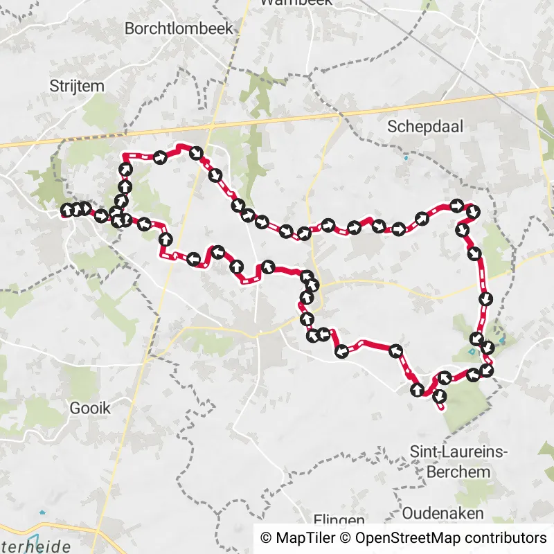
Lennik, Belgium
Draft horse walk
4.4 km
You walk along winding paths and stately forest lanes, passing the most beautiful spots of the Gaasbeek and Groenenberg ... read more
© Lander Loeckx
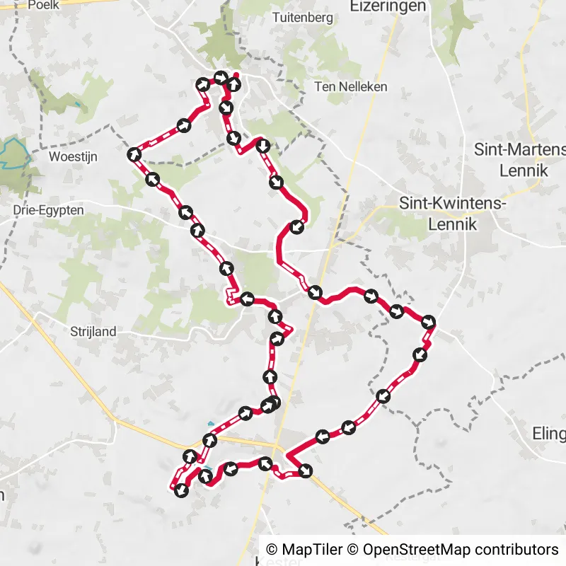
Below you will find the latest hiking trails in Lennik offered by official tourism organisations or by verified users of our platform.
Pathfinders are hikers who share their hiking adventures in Lennik with you.
Looking for an adventure? Try our 'Surprise Me' feature! Enter your preferences below, and we will suggest a number of hikes using the hiking nodes in Lennik. The routes are calculated in real-time using the hiking node network.
4.4 km
You walk along winding paths and stately forest lanes, passing the most beautiful spots of the Gaasbeek and Groenenberg ... read more
5.5 km 4.5/5
The Moeille walk starts at the St. Ursula church in Eizeringen. You'll be walking along very quiet roads in the beautifu... read more
8.4 km 4.5/5
Depart from the parking lot of Gaasbeek Castle for a walk through the beautiful Pajottenland, a stone's throw from Bruss... read more
11.4 km 3.8/5
In the marketplace of Sint-Kwintens-Lennik stands Prince, the Pride of Brabant. From this statue of a real Brabant Draft... read more
11.3 km 4/5
Just as you might suspect, this hike visits four small villages. Gaasbeek, Sint-Laureins-Berchem, Oudenaken and Elingen ... read more
7.2 km 4.6/5
You start at the church in Gaasbeek, a village with authentic rural charm. You walk between the splendor of the Castle o... read more
9.2 km
This hike starts at the Arconateplein in Gaasbeek, perhaps one of the most beautiful village squares in the country. Yo... read more
8.5 km
This walk starts near Gaasbeek Castle Park, near the large parking lot. You leave in the shadow of the Groenenberg park ... read more
8.3 km
The Tomberg Walk starts at the St. Martin's Church in St. Martin's-Lennik and takes rural roads to the beautiful St. Bar... read more
7.7 km 4.8/5
This hike starting in the village of Sint-Martens-Lennik, takes you to an elevated piece of untouched nature on the bord... read more
13.5 km 5/5
Trek on foot through the land of lambic beer. The wild yeasts here float through an open, rolling landscape where the fa... read more
7.7 km 0.5/5
This hike starts off at St. Amandus Church, which dates back to the 15th - 16th century and houses beautiful relics. Fur... read more
10.8 km 4.4/5
The departure is at the water mill of Saint-Getrudis-Pede, where grain has been ground since the 14th century. The hike ... read more
9.5 km 4.8/5
A quiet landscape walk that passes through Gooik and Lennik valleys, with the Hof te Bree-Eik as the absolute highlight.... read more
23 km
From O.-L.-V.-Lombeek we set off in search of the protected village view of Eizeringen with the Saint Ursula Church and ... read more
21 km
From Onze-Lieve-Vrouw Lombeek, you quickly pass, rolling on the Pajotten hills, some old castles such as Rokkenborch and... read more
The Route Planner Pro has changed a bit on our new website. The ability to plan routes that deviate from the hiking network is now integrated into our node planner (continue reading below image):
If you open our route planner, you can press the magnet symbol in the upper right corner. If you then choose Offgrid (auto) (automatic route planning) or Offgrid (manual) (connecting places manually), you can select places on the map and plan a route that deviates (partially or completely) from the hiking network.
You can switch between Node and Offgrid mode to create a route that runs partly along nodes and partly away from the node network.
The Route Planner Pro has changed a bit on our new website. The ability to plan routes that deviate from the bicycle network is now integrated into our node planner (read more below image):
If you surf to our route planner, you can press the magnet symbol in the upper right corner. If you then choose Offgrid (auto) (automatic route planning) or Offgrid (manual) (connecting places manually), you can select places on the map and plan a route that deviates (partially or completely) from the biking network.
You can switch between Node and Offgrid mode to create a route that runs partly along nodes and partly away from the node network.
Are you sure you want to log out?
With this QR-code or text code you can login to our app. Open the login screen of the NodeMapp Hike app or NodeMapp Bike app and press the button with the QR-code. In the same screen, you can also enter the text code (case sensitive!) if you prefer.
Time remaining to log in with this code:
01:00