 Hiking
 Login
Login More
More EN
EN Premium
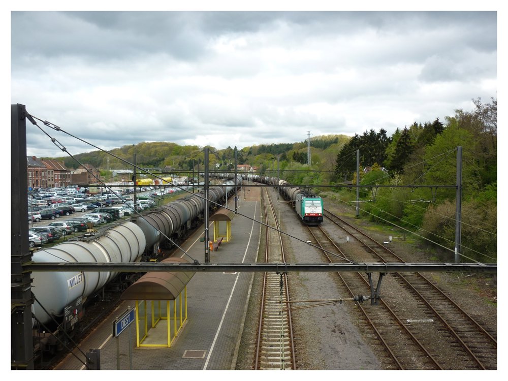
Station Walk Diest <> Molenstede
automatic translation
12.2 km • Diest
3020 0 0/5

 Addresse starting point (approximate)
Turnhoutsebaan 9, 3290 Diest, BE
 signage
The route is fully signposted with nodes.
 Description
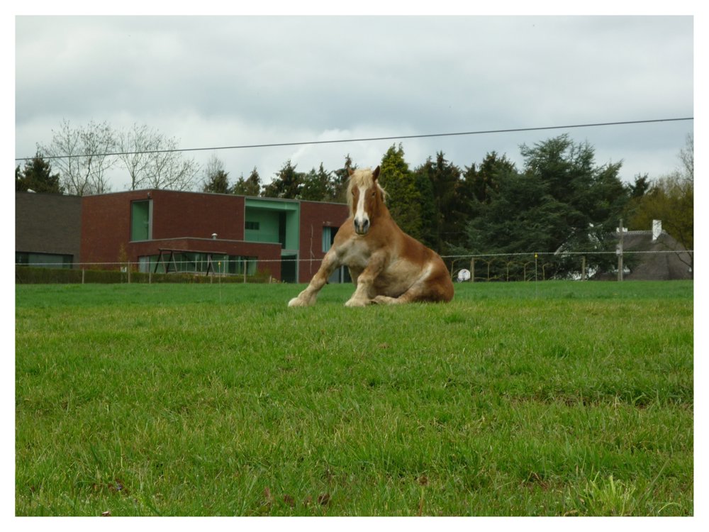
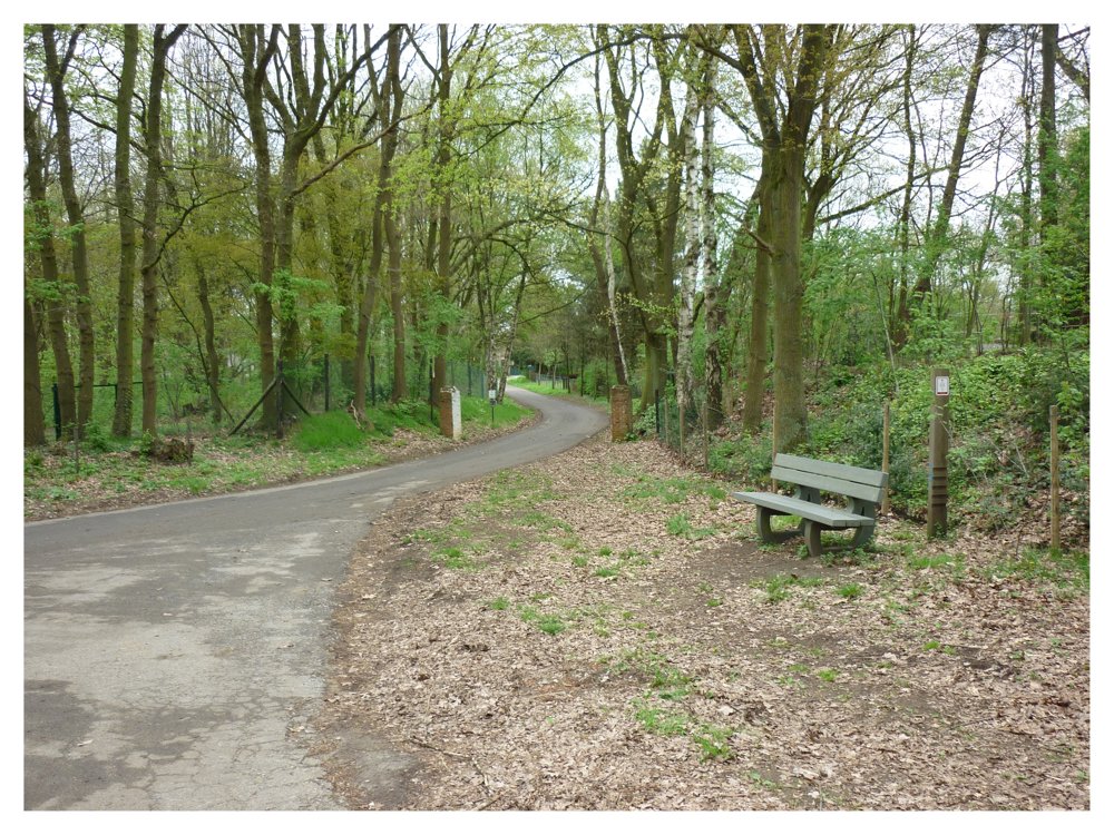
This lovely walk can start at the Diest station. From there, it continues to Molenstede.
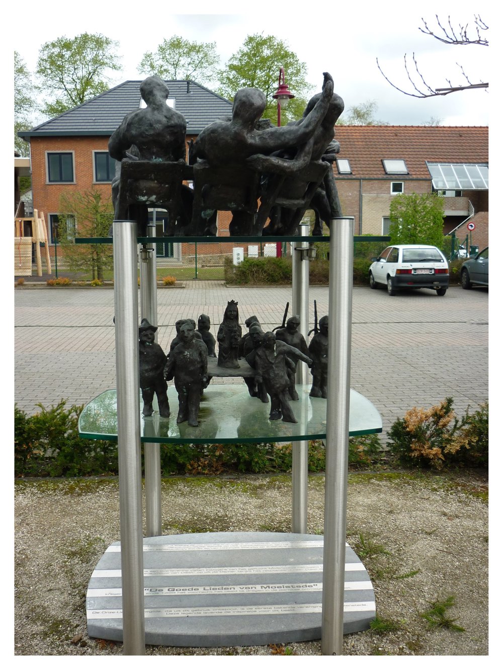
In Molenstede, one can see on the square in front of the church an artwork called 'The Good People of Molenstede'. According to a legend, the inhabitants of the hamlet Molenstede fished the statue of 'Our Lady of Diest' out of the Demer while it drifted upright towards Diest.
' The Good People of Molenstede' have had the privilege since 1488 to carry the statue in the annual parade in Diest. The Our Lady's guild, which emerged from this tradition, is the first known association of Molenstede. This legend provided the inspiration for this sculpture.
More photos: https://photos.app.goo.gl/xhYGWUeLD3TidxAR8
Happy walking,
Eddy, Rita, and Prinske
automatic translation
 nodes to follow
0 km
0.2 km
1.3 km
1.8 km
2.9 km
3.3 km
3.6 km
3.7 km
4 km
4.5 km
6 km
6.6 km
7 km
7.9 km
8.7 km
9.8 km
9.9 km
10.3 km
12.2 km


 Upgrade to Premium Plus
