Loading...

Diest > Houterenberg Tessenderlo

automatic translation

16 km • Diest

130 0 0/5

16 km 0.0 km 0.0 km

route offered by

Eddy & Rita

Icon starting point Addresse starting point (approximate)

Tessenderloseweg 121, 3290 Diest, BE

Icon type signage of route signage

The route is fully signposted with nodes.

5m 5m 5m 5m
Atmosphere image 1 of route Diest > Houterenberg Tessenderlo Atmosphere image 2 of route Diest > Houterenberg Tessenderlo Atmosphere image 3 of route Diest > Houterenberg Tessenderlo
© Eddy & Rita

Icon description route Description

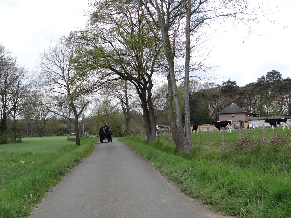
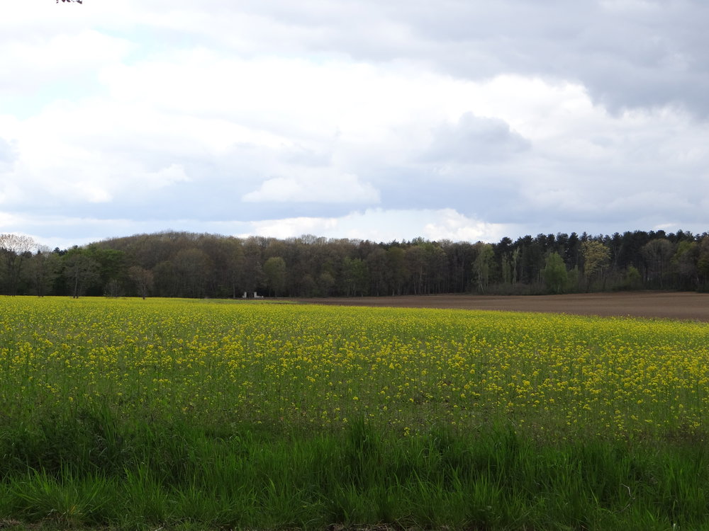
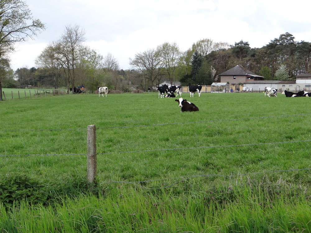
The walk is very rural with quite a bit of forest.

It covers about 9 km of unpaved roads. The paved roads are low-traffic. Along the way, one passes through the "Houterenberg" nature reserve.

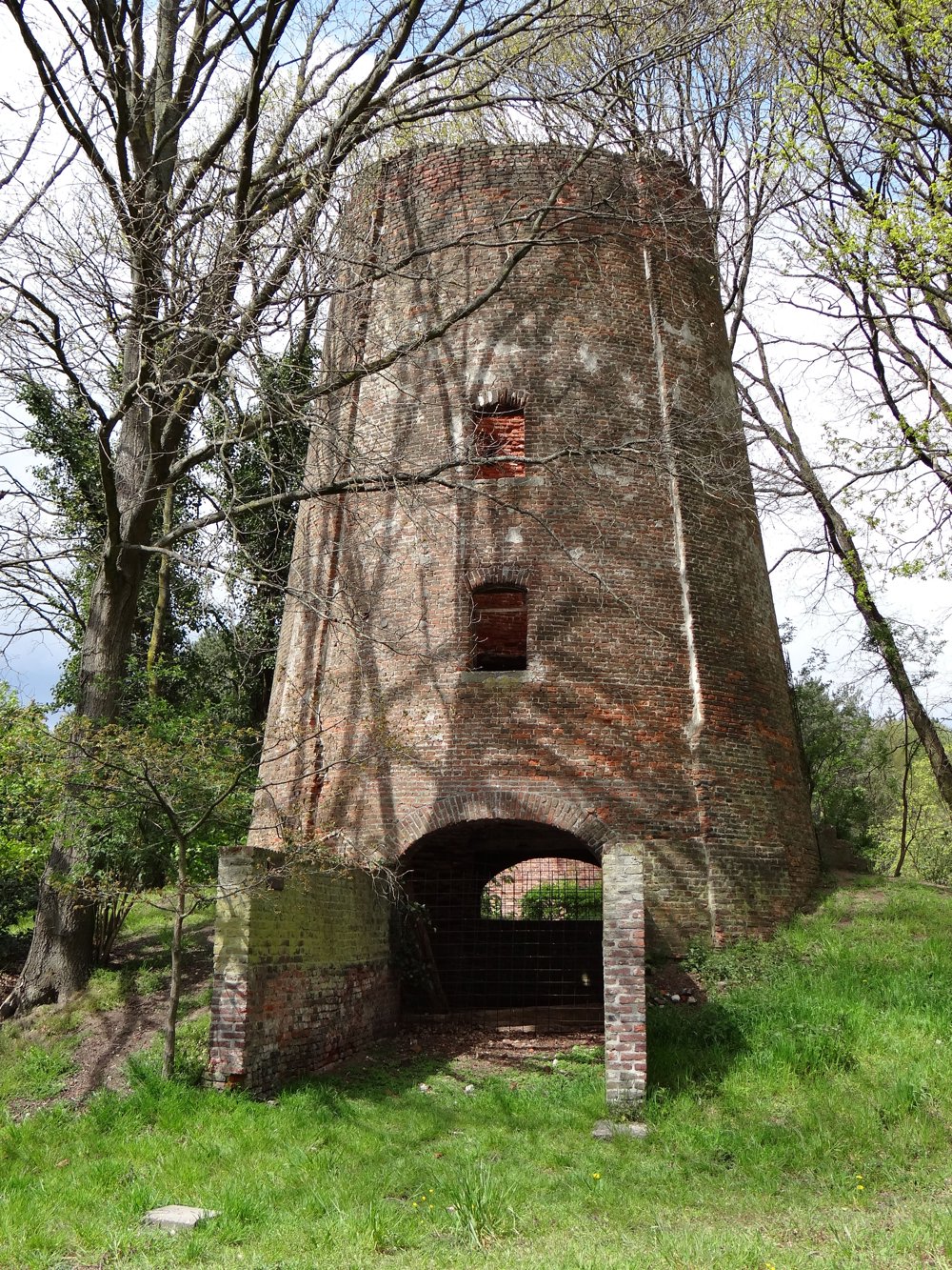
You also pass by "De Engsbergse Molen". Of this stone windmill, only the base has been preserved. It was a mound or belt mill, founded in 1826. In 1930, the cap of the mill was torn off in a storm. In 1978, the remaining part was purchased by the municipality of Tessenderlo.

More photos: https://photos.app.goo.gl/JuVPH8kW9QV6i2A59
Enjoy this walk,
Eddy, Rita and Prinske

automatic translation

Icon nodes to follow nodes to follow

Image node 941
0 km
Image node 242
0.6 km
Image node 236
2.2 km
Image node 235
2.3 km
Image node 237
3 km
Image node 238
3.7 km
Image node 115
4.4 km
Image node 195
5.6 km
Image node 196
6.2 km
Image node 116
6.6 km
Image node 203
7.7 km
Image node 199
9.4 km
Image node 239
10.4 km
Image node 240
11.2 km
Image node 232
13.5 km
Image node 940
14.6 km
Image node 941
16 km
This route does not have any reviews yet. Be the first!
Rate route!

Which POI do you want to show on the map?

Experimental hiking network
Unsigned icon

The route you have chosen runs (partly) along an experimental virtual hiking node network (the blue-coloured nodes and sections on the map).

You must be logged in to plan routes here.

Experimental hiking network
Unsigned icon

The route you have chosen runs (partly) along an experimental virtual hiking node network (the blue-coloured nodes and sections on the map).

These routes are not controlled in the field. Before you start hiking here, take a minute to read what an experimental hiking node network is and what rules you should follow when hiking here.