 Hiking
 Login
Login More
More EN
EN Premium
Schaffen along the airport
automatic translation
10.8 km • Diest
1390 0 0/5

 Addresse starting point (approximate)
Waterstraat 35, 3290 Diest, BE
 signage
The route is fully signposted with nodes.
 Description
WARNING! Due to works by the VMM, the route between junction 97 and 98 will be interrupted from 5/08/2024 to 30/04/2025.
Schaffen is a part of the Belgian city of Diest. The village is located at the transition from the Campine to the Hageland.
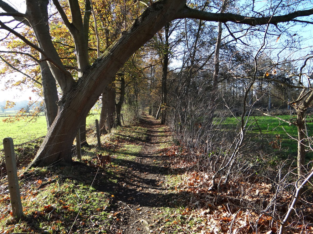
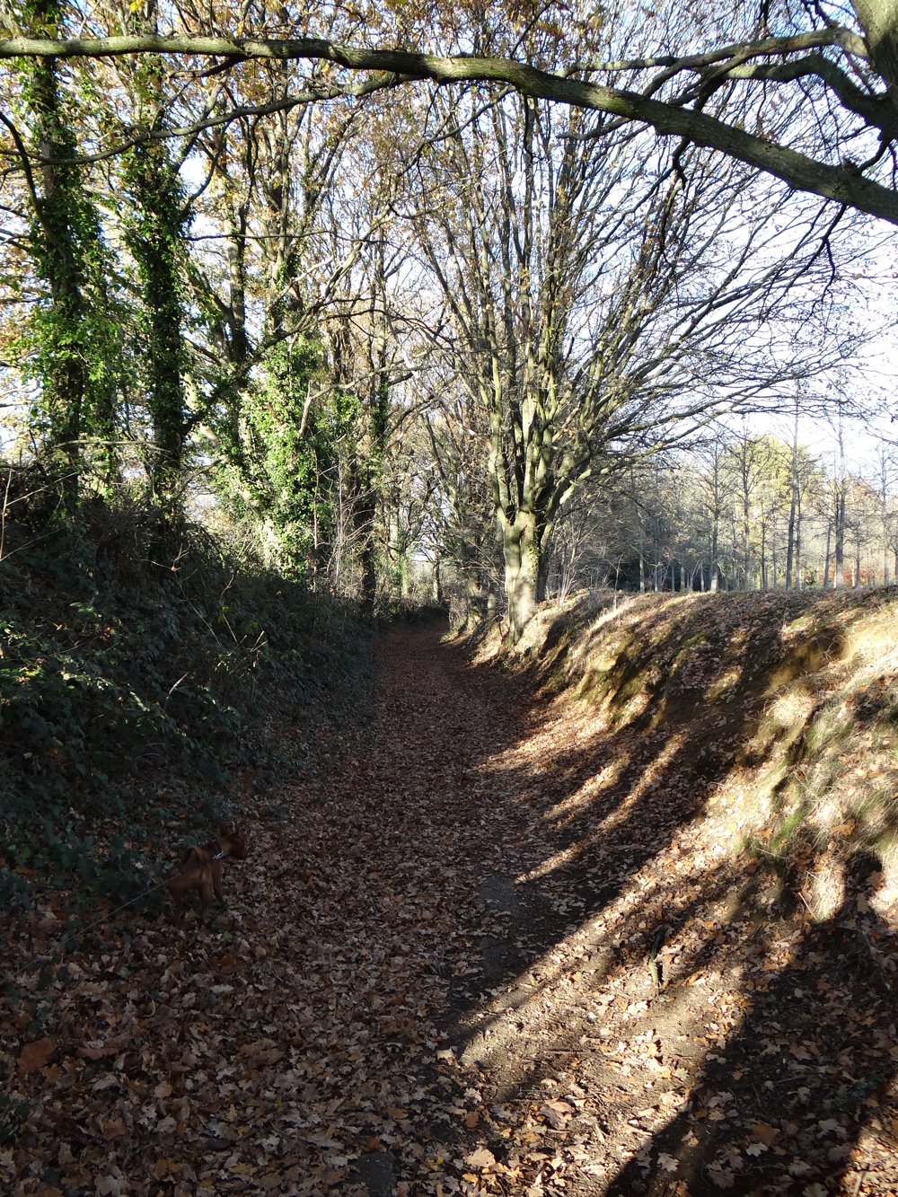
Beautiful varied walk. This walk was composed by us using the walking junction network and the GR5.
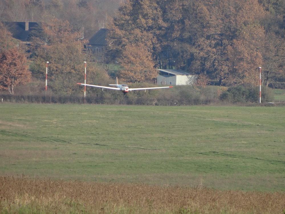
A small piece of aviation history: Two kilometers from the center of Diest, on the territory of Schaffen (51° N - 5°5' E), construction of an airfield was begun by the German occupier in September 1915. At the Flieger Beobachter Schule West, observers were trained for deployment above the Western Front.
More photos: https://photos.app.goo.gl/Xv6bFZXMo2z9KQtbA
Enjoy this walk,
Eddy, Rita, and Prinske
automatic translation
 nodes to follow
0 km
0.7 km
1.5 km
4.3 km
4.7 km
5.8 km
6 km
6.5 km
6.9 km

7.1 km
7.1 km
9 km
10.8 km


 Upgrade to Premium Plus
