 Hiking
 Login
Login More
More EN
EN Premium
Diest: Wing Route
automatic translation
10.7 km • Diest
3870 0 0/5
10.7 km
0.0 km
0.0 km
10 km
© OpenStreetMap contributors, Tracestrack

 Addresse starting point (approximate)
Hasseltsebaan 247, 3290 Diest, BE
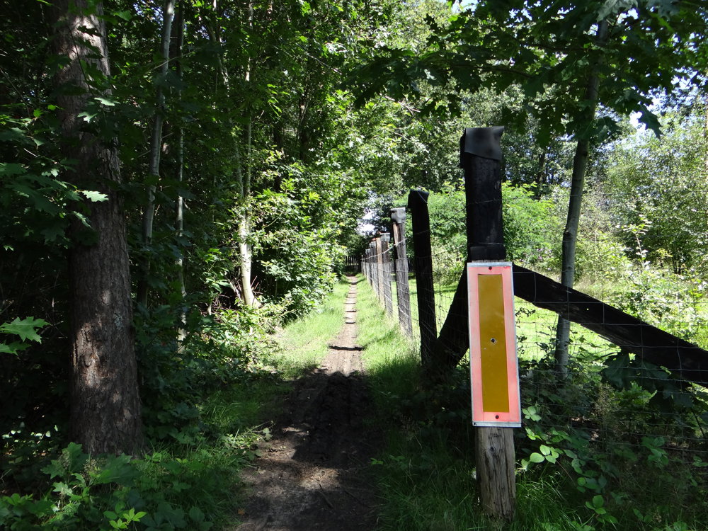
 signage
The route is fully signposted with nodes.
© Eddy & Rita
 Description
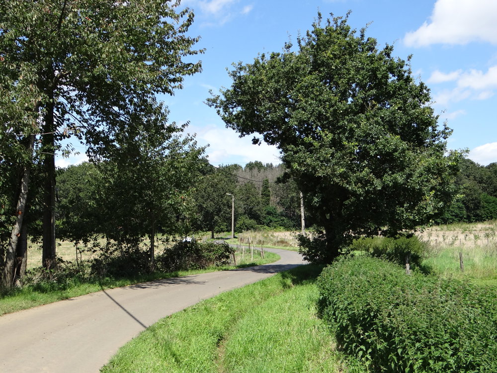
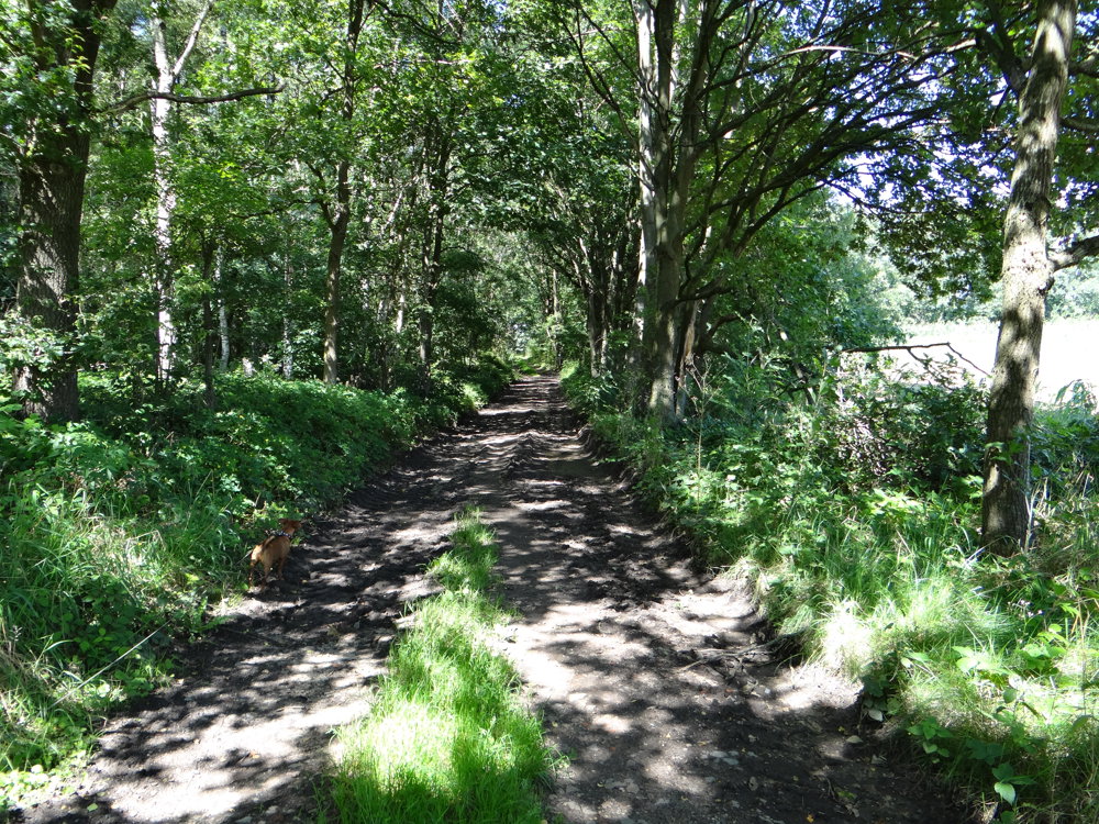
7.5 km unpaved. Paved part is low traffic. Beautiful rural route.
"6 walks with unique heritage and nature elements in the northeast of Diest at the border of Flemish Brabant with Limburg. These walks are mapped out by Landelijke Gilde Vleugt and visit the most beautiful spots of Vleugt, from old ironstone quarry to streams in the marsh."
Source: https://schaffen-vleugt.landelijkegilden.be/vrije-pagina-1-128
More photos: https://photos.app.goo.gl/gKxgUjeXc7T1kyXU6
Enjoy your walk,
Eddy, Rita, and Prins
automatic translation
 nodes to follow
0 km
0.9 km
3.3 km
3.9 km
4.7 km
5.3 km
6.7 km
7.9 km
9.5 km
10.7 km


 Upgrade to Premium Plus
