 Hiking
 Login
Login More
More EN
EN Premium
Walk Liedekerke
automatic translation
10.1 km • Liedekerke
1.9551 0 0/5

 Addresse starting point (approximate)
Pamelsestraat 151, 1770 Liedekerke, BE
 signage
The route is not signposted. Use a GPS device or our app to follow the route through the virtual nodes.
 Description
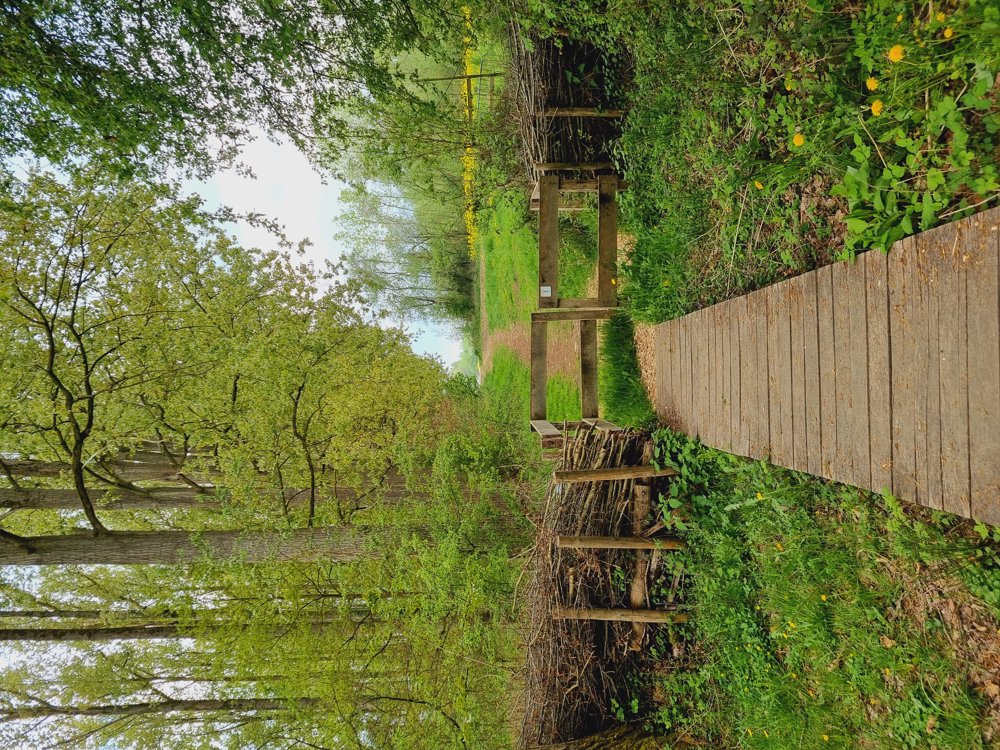
🌱Liedekerke Walk2🌱
I have already taken a walk in Liedekerke in the past, but I actually find this one even better🥰.
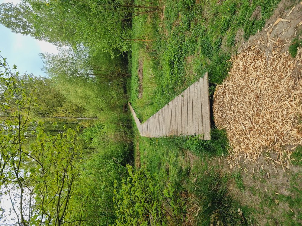
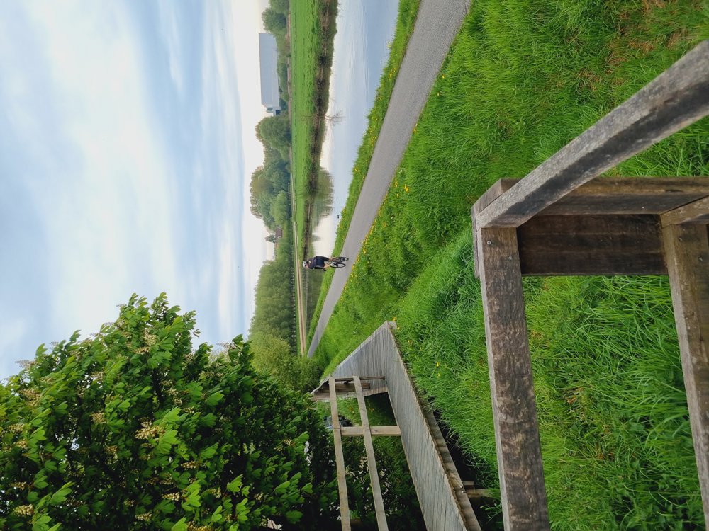
Almost everything is unpaved, except for a stretch along the Dender where you walk alongside cyclists.
Own route with junctions:
🔢 ‼️ Virtual junctions:
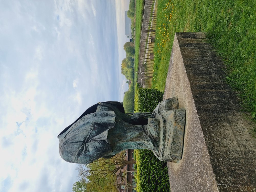
4-47-48-402-401-406-842-843-844-835-836-837-831-830 pause with a view of the Dender along the 'Dikke van Pamel' statue🗿
838-839-45-44-43-4
Catering: None, so bring a lunch.
📏 10 km
👩🏫 My rating: 8.5/10
🐾 Dogs welcome, on a leash
👶🏻 Not buggy-proof
👩🦽 Not wheelchair accessible
🅿️ Parking at Liedekerke swimming pool,
Sportlaan 5, Liedekerke
[Flemish Brabant]
Enjoy your walk👣🙋♀️
Regards,
Sarah
automatic translation
 nodes to follow
0 km
0.2 km
0.4 km
0.8 km
1.5 km
1.8 km
2.5 km
2.6 km
2.9 km
3.5 km
3.5 km
4 km
4.5 km
4.6 km
5.2 km
7.4 km
7.6 km
8.9 km
9.1 km
9.5 km
10.1 km


 Upgrade to Premium Plus
