Loading...

Our Lady Parish

automatic translation

8.2 km • Bilzen-Hoeselt

1.1051 0 0/5

8.2 km 0.0 km 0.0 km
10 km
© OpenStreetMap contributors, Tracestrack

route offered by

Jan Theunis

Icon starting point Addresse starting point (approximate)

Nederstraat 21, 3730 Hoeselt, BE

Icon type signage of route signage

The route is not signposted. Use a GPS device or our app to follow the route.

51.8 m 47.3 m 91.4 m 44.6 m These values indicate respectively the number of meters to rise, the highest and the lowest point in meters.
Atmosphere image 1 of route Our Lady Parish Atmosphere image 2 of route Our Lady Parish
© Jan Theunis

Icon description route Description

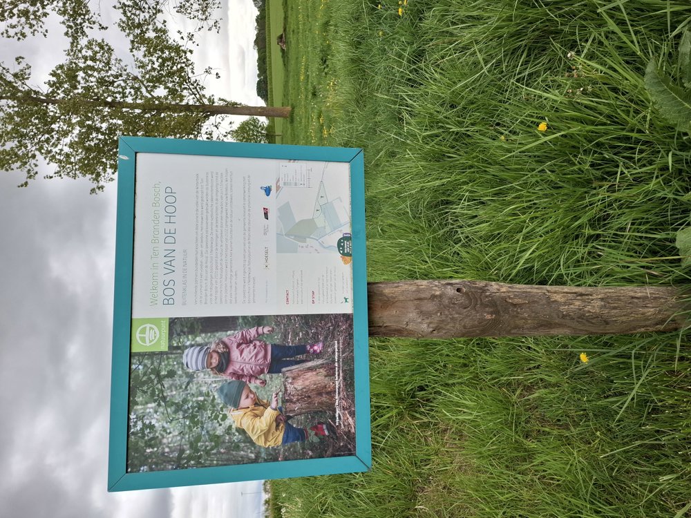
Parking: Onze-Lieve-Vrouwplein, Hoeselt.

Signage: walking app or GPS.

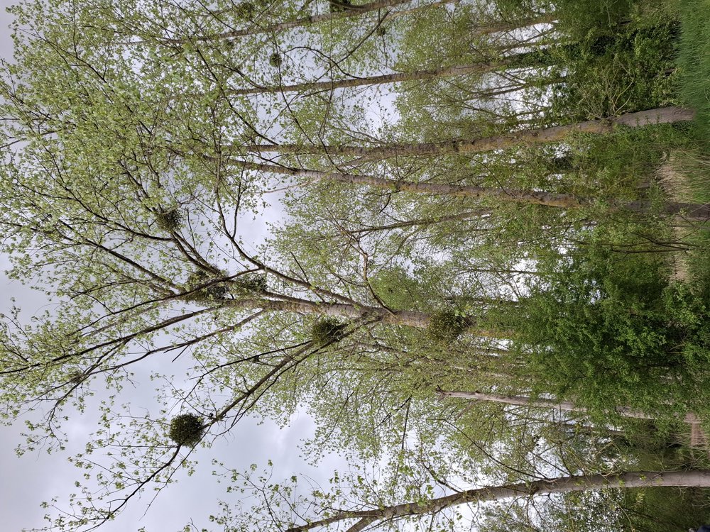
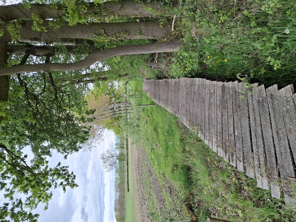
We chose to first walk along the noisy section of the highway. Once you have passed it, you walk through a quiet rural environment. Here and there you walk through pear orchards, but for the most part, the route goes over unpaved paths through the fields. Also, pay attention to the mistletoe, which you frequently see in this area.

Bench(es): among others after 2/3 and 4.8 km.

automatic translation

This route does not have any reviews yet. Be the first!
Rate route!

Which POI do you want to show on the map?

Experimental hiking network
Unsigned icon

The route you have chosen runs (partly) along an experimental virtual hiking node network (the blue-coloured nodes and sections on the map).

You must be logged in to plan routes here.

Experimental hiking network
Unsigned icon

The route you have chosen runs (partly) along an experimental virtual hiking node network (the blue-coloured nodes and sections on the map).

These routes are not controlled in the field. Before you start hiking here, take a minute to read what an experimental hiking node network is and what rules you should follow when hiking here.

By clicking 'Accept all cookies,' you agree to the use of cookies for an enhanced user experience, website traffic analysis, and personalized advertisements. Cookie policy