Loading...

Galmaarden near Ninove 12 km

automatic translation

12.3 km • Pajottegem

691 0 0/5

12.3 km 0.0 km 0.0 km
10 km
© OpenStreetMap contributors, Tracestrack

route offered by

Peter D'hont

Icon starting point Addresse starting point (approximate)

Heirbaan 137, 1570 Galmaarden, BE

Icon type signage of route signage

The route is fully signposted with nodes.

179.2 m 156.1 m 104.8 m 22.3 m These values indicate respectively the number of meters to rise, the highest and the lowest point in meters.
Atmosphere image 1 of route Galmaarden near Ninove 12 km Atmosphere image 2 of route Galmaarden near Ninove 12 km Atmosphere image 3 of route Galmaarden near Ninove 12 km
© Peter D'hont

Icon description route Description

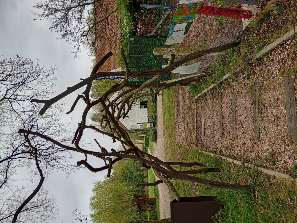
Departure: Heirbaan 137 - Galmaarden

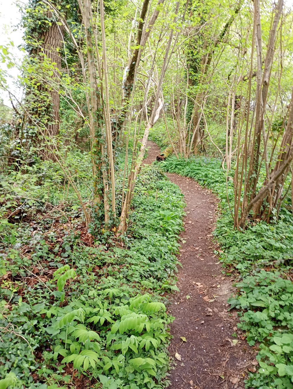
A varied walk across the fields and in the Raspaillebos. The Raspaillebos forms a whole with the Moerbekebos, the Karkoolbos, and the Kluisbos.

In the Raspaillebos, we walk past the Juffrouw Chapel, known locally as 't Iffraken. The chapel was erected around 1860 in honor of Saint Apollonia. After it collapsed in 2012, it was completely rebuilt by Natuurpunt volunteers with authentic materials and according to 19th-century construction techniques.

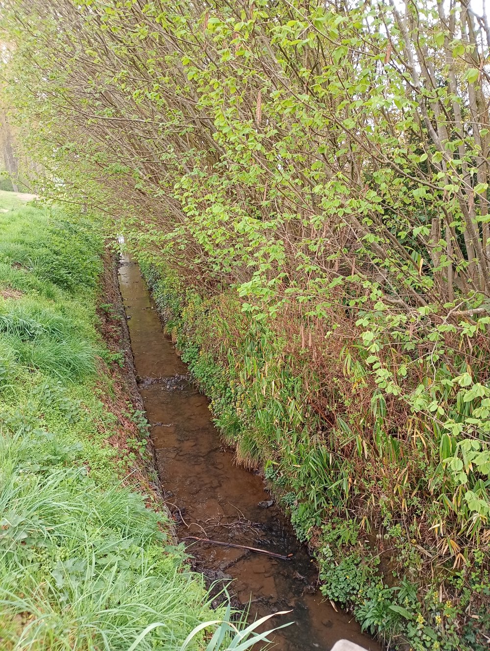
There are several elevation differences as we are in the Geraardsbergen region (known for cycling races). There are also some low-lying areas where a lot of mud can occur during rainy periods.

automatic translation

Icon nodes to follow nodes to follow

Image node 618
0 km
Image node 617
0.4 km
Image node 68
1.6 km
Image node 69
2.3 km
Image node 616
3.3 km
Image node 619
4.4 km
Image node 32
5.7 km
Image node 33
6.1 km
Image node 29
6.6 km
Image node 11
7.2 km
Image node 4
7.9 km
Image node 5
8.8 km
Image node 6
9.5 km
Image node 10
10.7 km
Image node 12
11.3 km
Image node 618
12.3 km
This route does not have any reviews yet. Be the first!
Rate route!

Which POI do you want to show on the map?

Experimental hiking network
Unsigned icon

The route you have chosen runs (partly) along an experimental virtual hiking node network (the blue-coloured nodes and sections on the map).

You must be logged in to plan routes here.

Experimental hiking network
Unsigned icon

The route you have chosen runs (partly) along an experimental virtual hiking node network (the blue-coloured nodes and sections on the map).

These routes are not controlled in the field. Before you start hiking here, take a minute to read what an experimental hiking node network is and what rules you should follow when hiking here.

By clicking 'Accept all cookies,' you agree to the use of cookies for an enhanced user experience, website traffic analysis, and personalized advertisements. Cookie policy