 Hiking
 Login
Login More
More EN
EN Premium
Along the Munster Creek through the Munster Forest
automatic translation
6.5 km • Bilzen-Hoeselt
891 0 0/5

 Addresse starting point (approximate)
Taunusweg 5, 3740 Bilzen, BE
 signage
The route is not signposted. Use a GPS device or our app to follow the route through the virtual nodes.
 Description
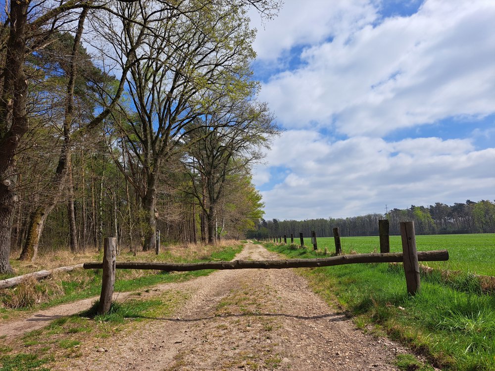
The starting point is the spacious parking lot at the dog school.
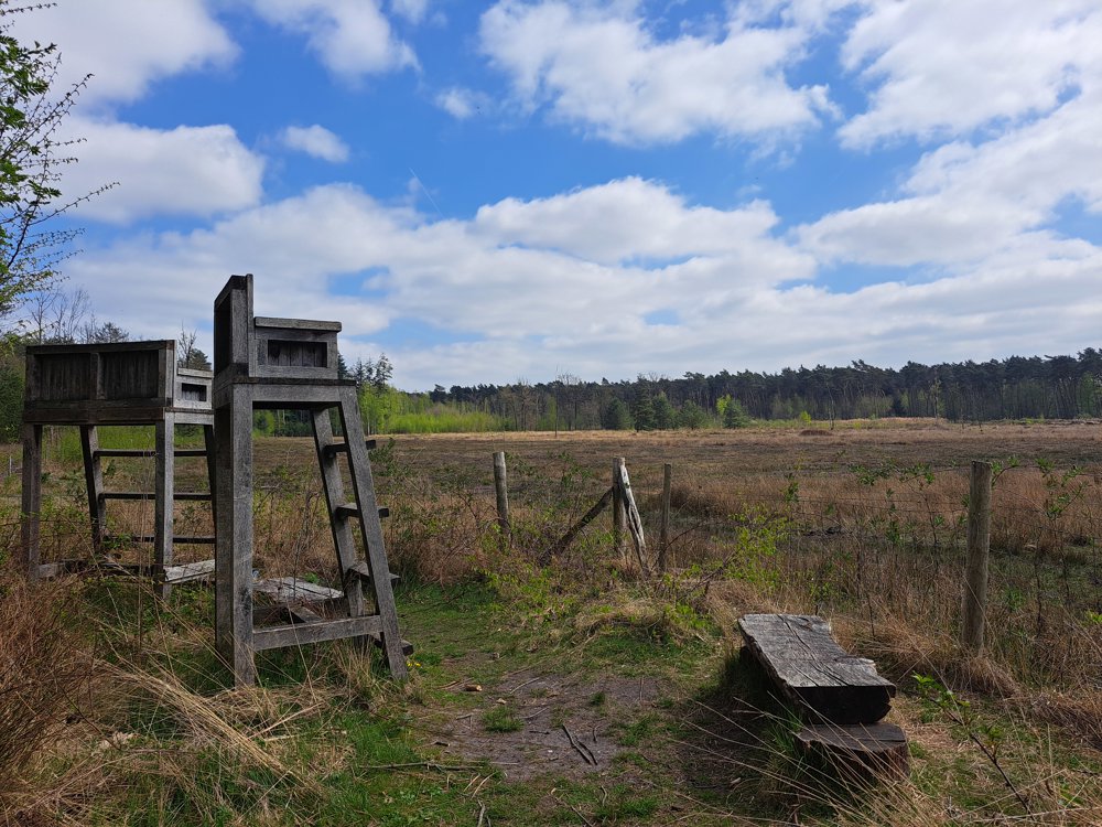
We dive under the roundabout and then immediately find ourselves in the beautiful nature. A long country road leads us to a marshy natural area. Take a seat in the lookout chair and enjoy the distant view.
We walk through the marsh on boardwalks to keep our feet dry.
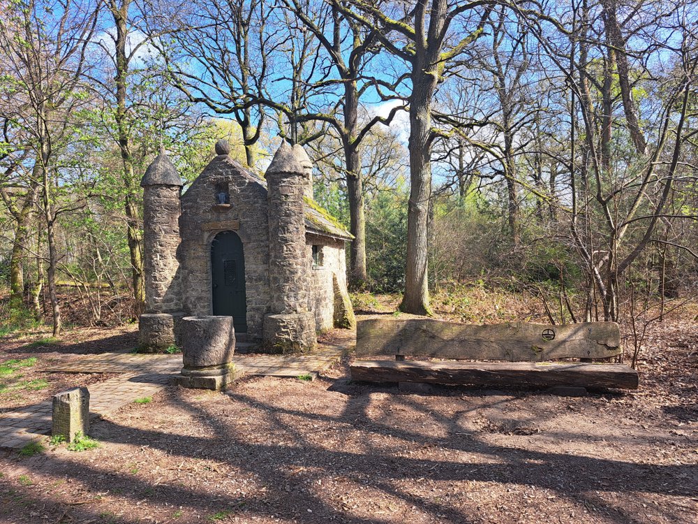
When we leave the natural area, we walk over a wide sandy forest path, past a hunter's hut to the Chapel of Resistance. We pause for a moment at the memorial to the fallen heroes and continue our journey through a cozy little village to the Munsterbeek.
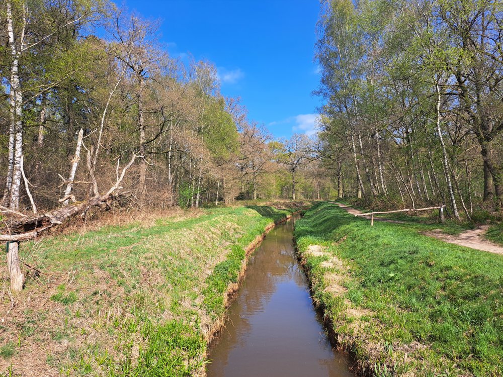
We follow the path along the bank and fully enjoy this wonderfully beautiful environment. It's certainly enchanting at the Amor Chapel, almost like a small castle. The original statue of Mary was stolen; a local resident placed another statue in the chapel, but he was not alone. Since then, dozens of small statues have inhabited the chapel.
Through the beautiful avenue, we return to the parking lot.
automatic translation
 nodes to follow
0 km
0.2 km
0.6 km
1.9 km
2.4 km
2.4 km
2.7 km
3.3 km
4 km
4.7 km
5.2 km
6.3 km
6.5 km


 Upgrade to Premium Plus
