 Hiking
 Login
Login More
More EN
EN Premium
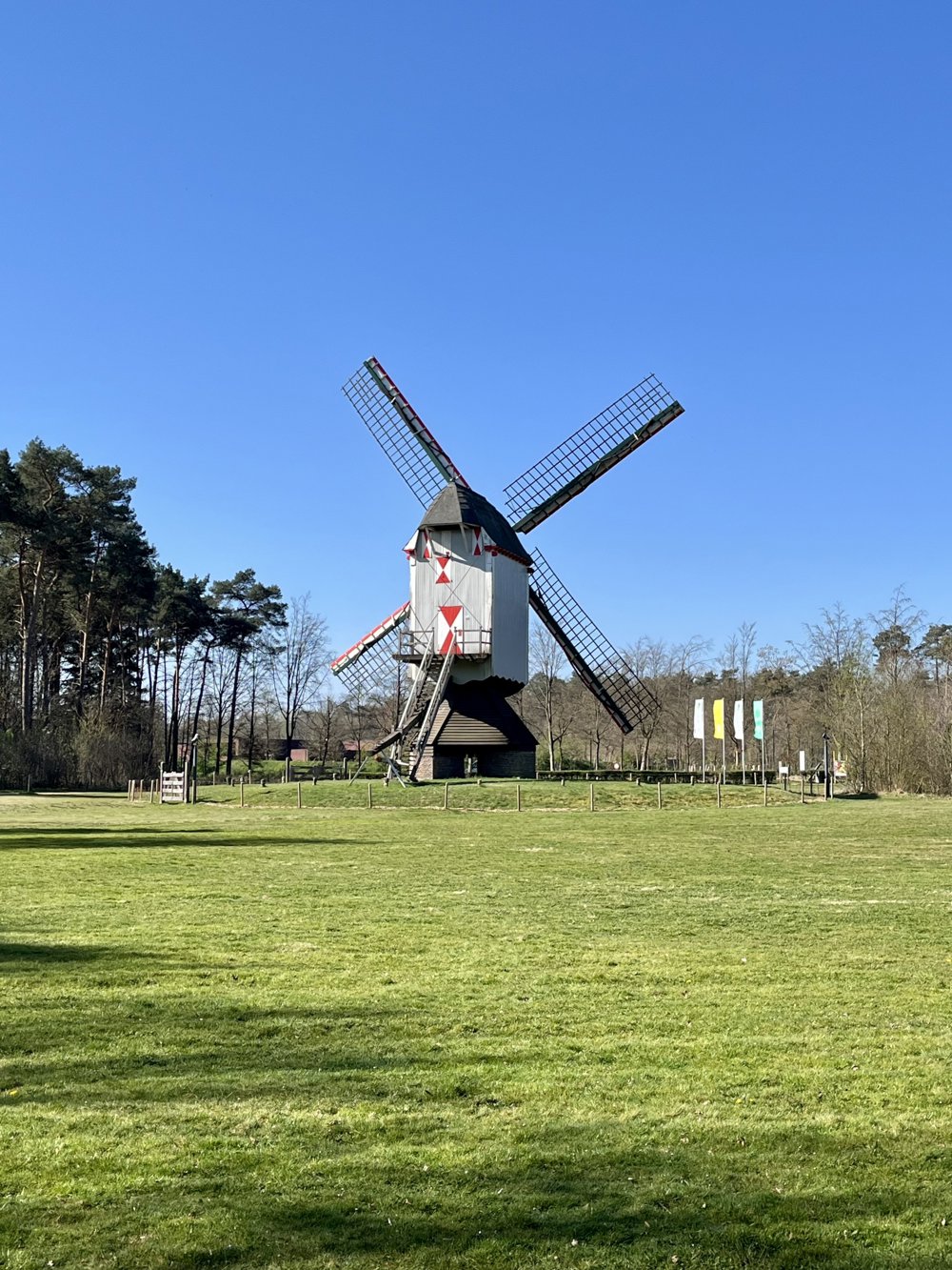
Around the Seven's Mill
automatic translation
6.8 km • Pelt
850 0 0/5

 Addresse starting point (approximate)
Breugelweg 200, Overpelt, BE
 signage
The route is fully signposted with nodes.
 Description
On and around the site of the Sevensmolen in Pelt, you can take this beautiful walk.
Parking is available at the mill museum along Breugelweg. You can also park at the Wedelse Molen, a watermill on the Dommel that also offers food and drinks (closed on Mondays and Tuesdays). From here, you begin the walk at junction 486.
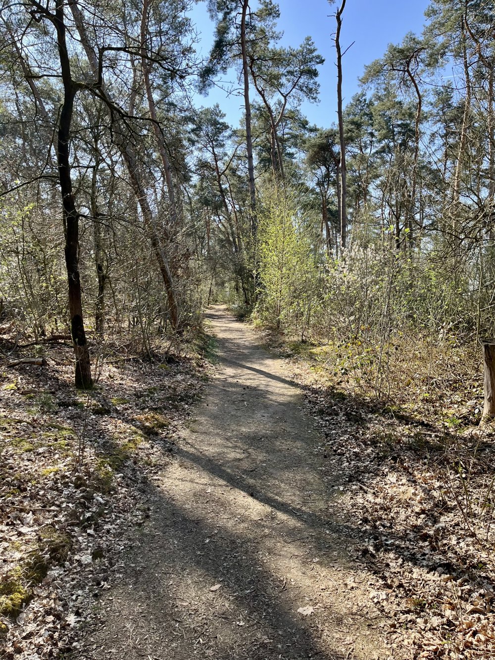
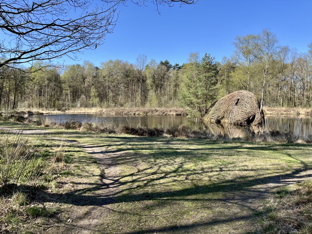
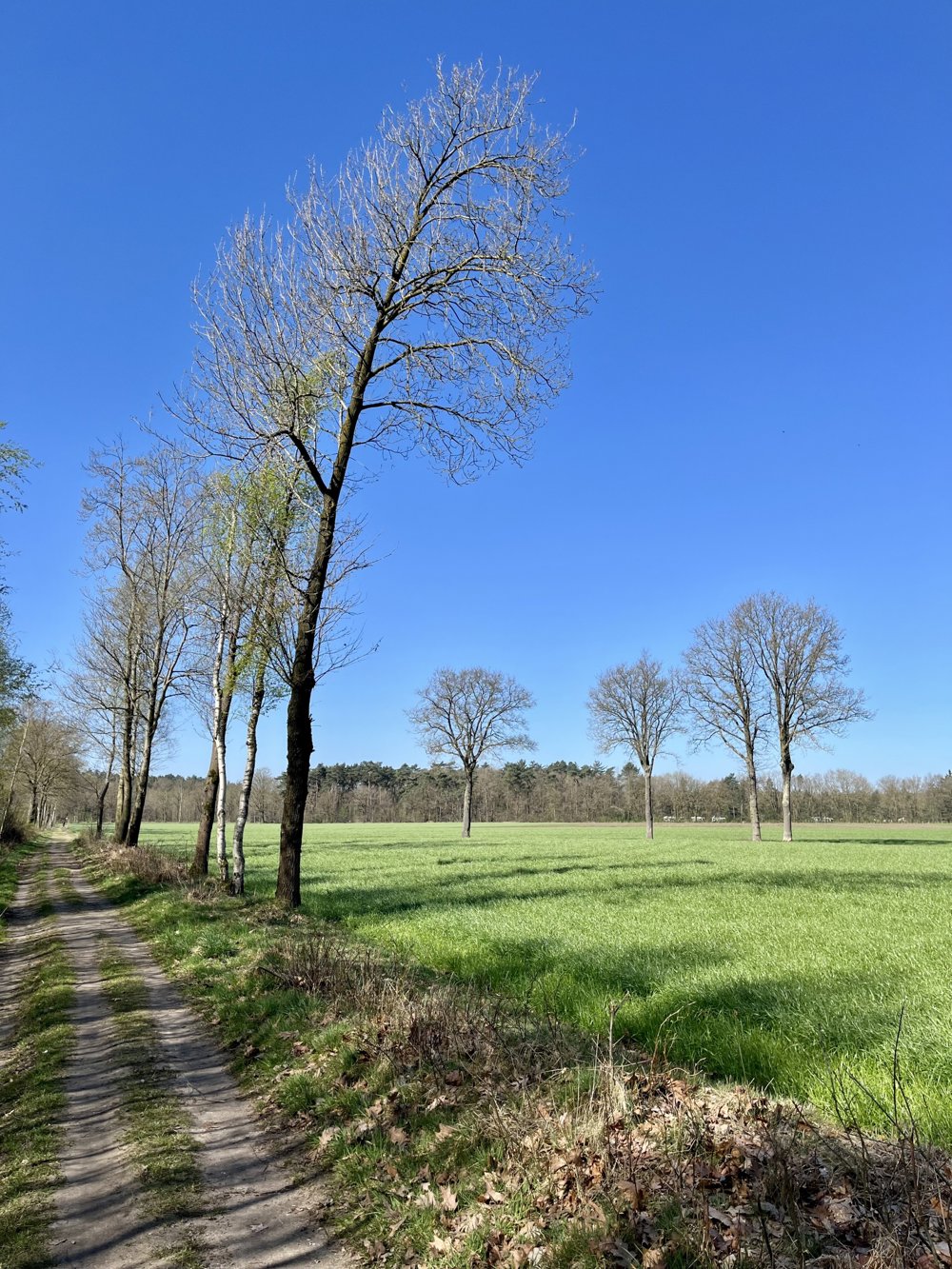
It is a beautiful, varied walk with winding paths through the forest as well as long, straight stretches between the fields. From the starting point, you can also choose other walks, indicated by colored symbols (Walking in Limburg, National Park Bosland: Heesakkerheide - starting point Sevensmolen).
automatic translation
 nodes to follow
0 km
0.5 km
0.7 km
0.9 km
1.9 km
2.6 km
2.8 km
3.7 km
4.5 km
5.2 km
6.3 km
6.8 km


 Upgrade to Premium Plus
