 Hiking
 Login
Login More
More EN
EN Premium
Hidden Beauty between Ketsingen and Berg
automatic translation
6.2 km • Tongeren-Borgloon
60 0 0/5

 Addresse starting point (approximate)
Ogezstraat 21, 3700 Tongeren, BE
 signage
The route is signposted with thematic signs (no nodes). You can use a GPS device or our app to follow the route through the virtual nodes.

 Description
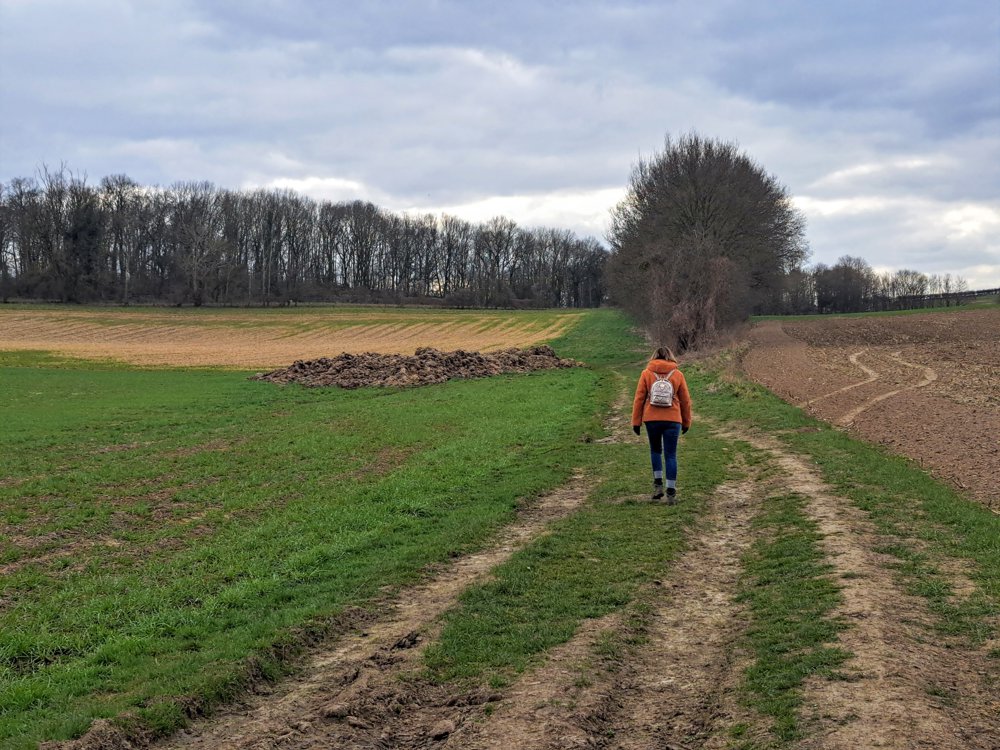
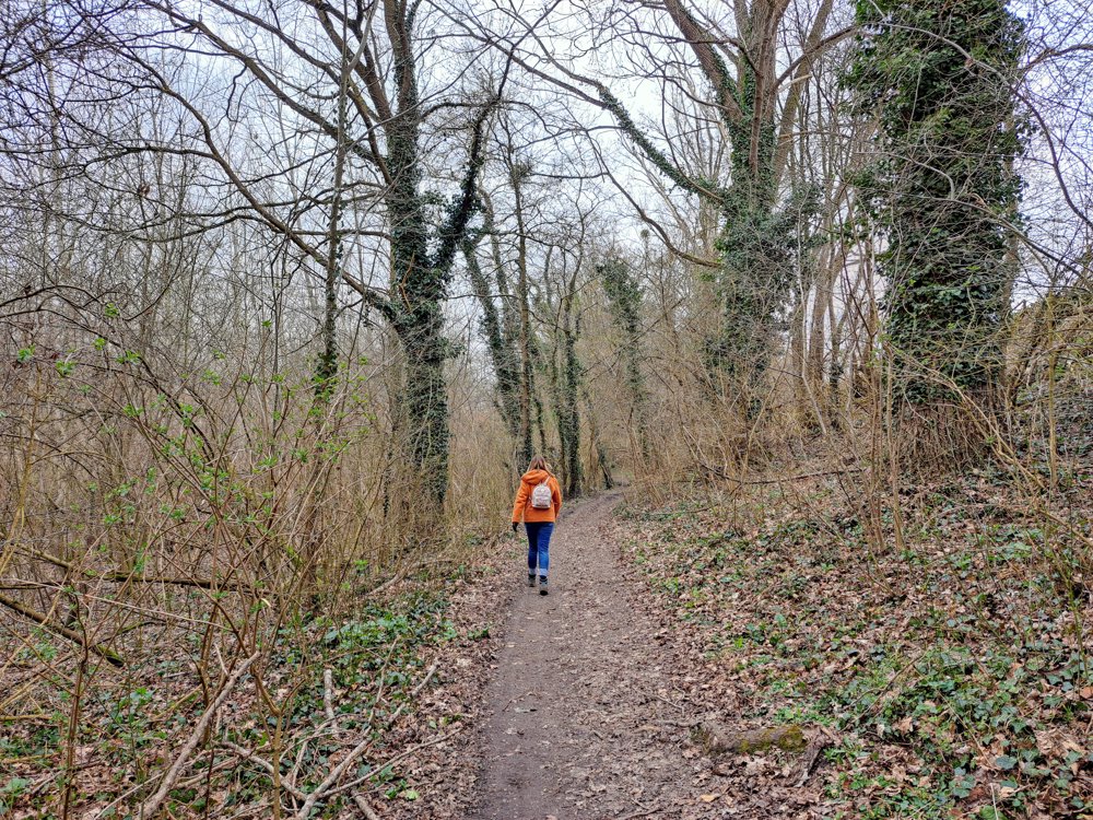
We are walking in Tongeren, between Ketsingen and Berg. These two villages are connected by sunken lanes, forest paths, and field tracks.
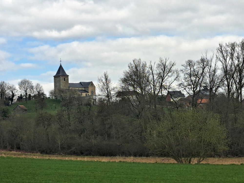
If you see the church tower from afar, you know that the village of Berg has not stolen its name. We almost walk through a cowshed; the farmer's dog comes to have a look but makes no effort to chase us away.
In this area, you see a lot of mistletoe in the trees. This is also called bird glue. The seeds of this plant stick to the bird's feet and travel to the next tree.
To our surprise, we also see a giraffe, rhinoceros, and elephant, safely behind the bars in the garden of the creator of these sculptures. This is truly a countryside walk, with some ups and downs, but with beautiful panoramas over the area.
Look around, you can even see the mining spoil heaps miles away. From all sides, you can see windmill blades joyfully waving. Beautiful nature walk, worth it!
automatic translation
 nodes to follow
0 km

0.1 km
0.4 km
1.3 km
1.7 km
2.7 km
4.1 km
4.7 km
5.4 km
5.8 km

6.2 km


 Upgrade to Premium Plus
