 Hiking
 Login
Login More
More EN
EN Premium
Heath behind the Road
automatic translation
11.1 km • Pelt
210 0 0/5

 Addresse starting point (approximate)
Luikersteenweg 2, 3920 Lommel, BE
 signage
The route is fully signposted with nodes.

 Description
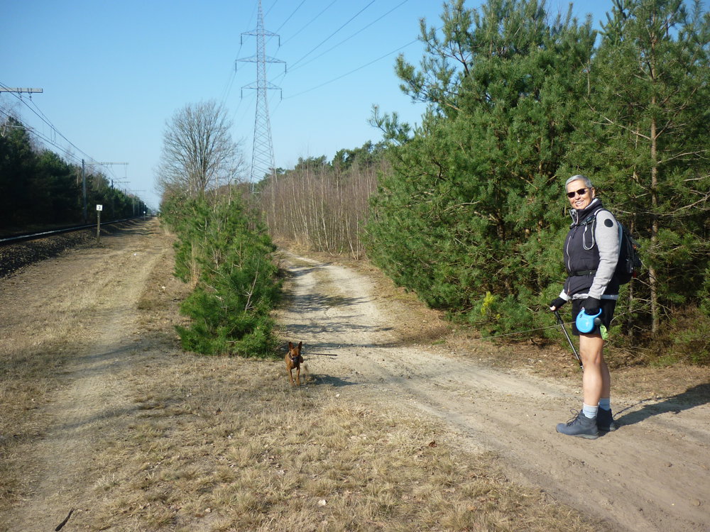
We did this surprisingly beautiful forest walk on 16/03/2025. (14,026 steps)
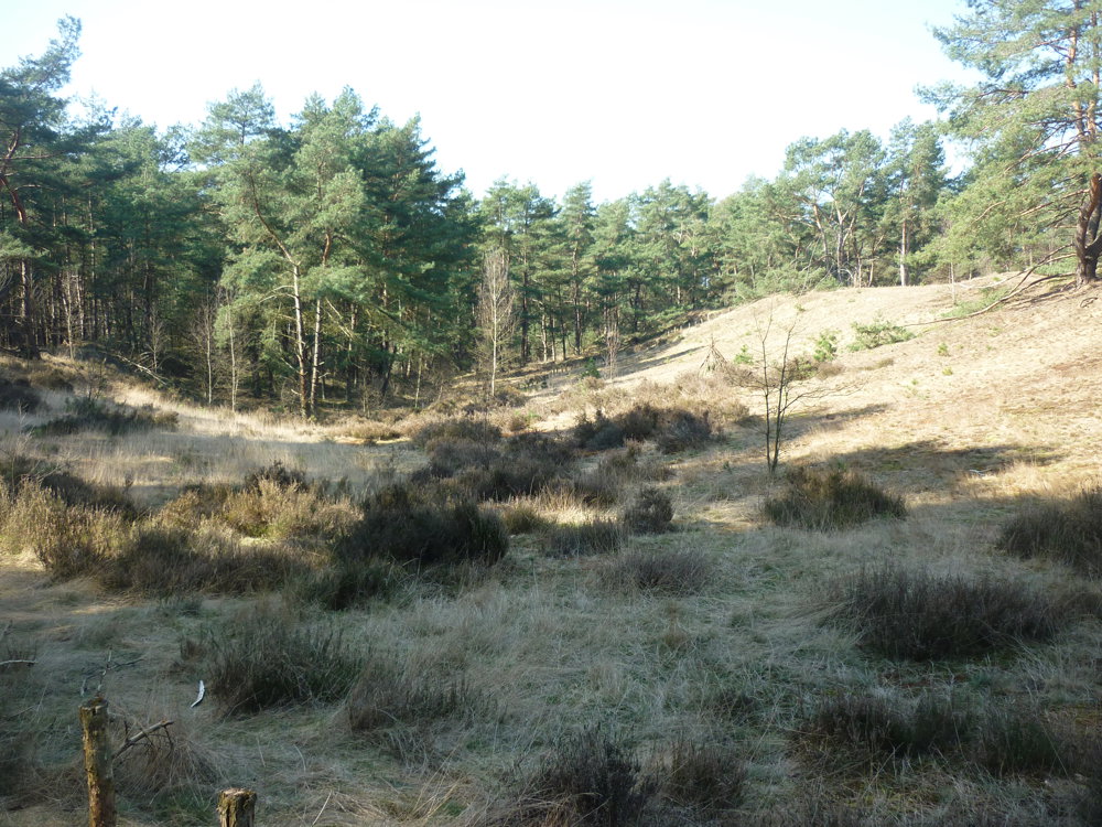
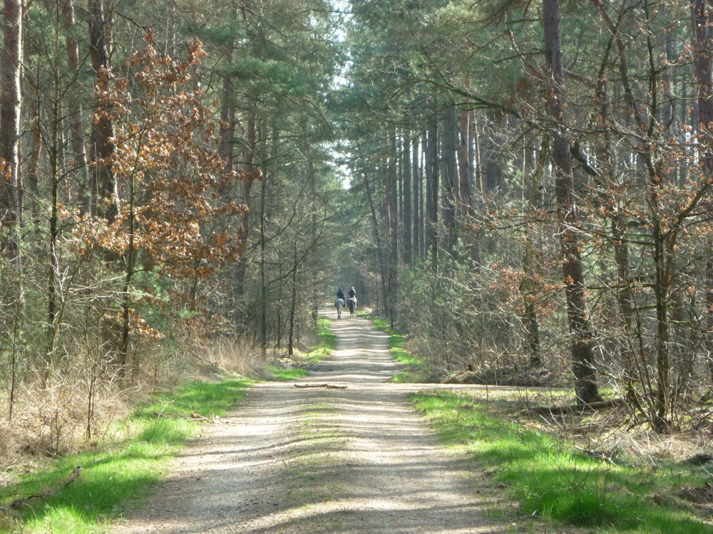
We parked the car at walking junction 92, along railway line 19, a line that is part of the Iron Rhine. The route mainly passes through the heathland area 'Heide achter de Steenweg'. This is a heathland area in Pelt, located in the southwest of the municipality, behind the N715 on the border with Lommel. The area is part of Bosland. Characteristic of Heide achter de Steenweg is the presence of high sand dunes.
We also walked through a small, beautiful piece of nature reserve 't Plat in Pelt. Further on, a beaver was active, making it quite marshy, but it was fine on the paths where we had to be. Where the beaver was working, everything would be underwater.
More photos: https://photos.app.goo.gl/Kfn5rftSaJcVDkjs9
Enjoy the walk,
Eddy, Rita, and Prinske
automatic translation
 nodes to follow
0 km
1.4 km
1.4 km
1.6 km
2 km
2.9 km
4.7 km
6.4 km
6.8 km
7.4 km
8.3 km
8.7 km
8.9 km
9.4 km
10.2 km
10.3 km
11.1 km


 Upgrade to Premium Plus
