Loading...

From Kermt to Spalbeek

automatic translation

8.7 km • Hasselt

450 0 0/5

8.7 km 0.0 km 0.0 km
10 km
© OpenStreetMap contributors, Tracestrack

route offered by

Jan Theunis

Icon starting point Addresse starting point (approximate)

Diestersteenweg 210, 3510 Hasselt, BE

Icon type signage of route signage

The route is not signposted. Use a GPS device or our app to follow the route.

22.7 m 17.7 m 29.4 m 20.9 m
Atmosphere image 1 of route From Kermt to Spalbeek Atmosphere image 2 of route From Kermt to Spalbeek
© Jan Theunis

Icon description route Description

Parking: Belgiëplein Kermt.

Signage: Walking app/GPS.

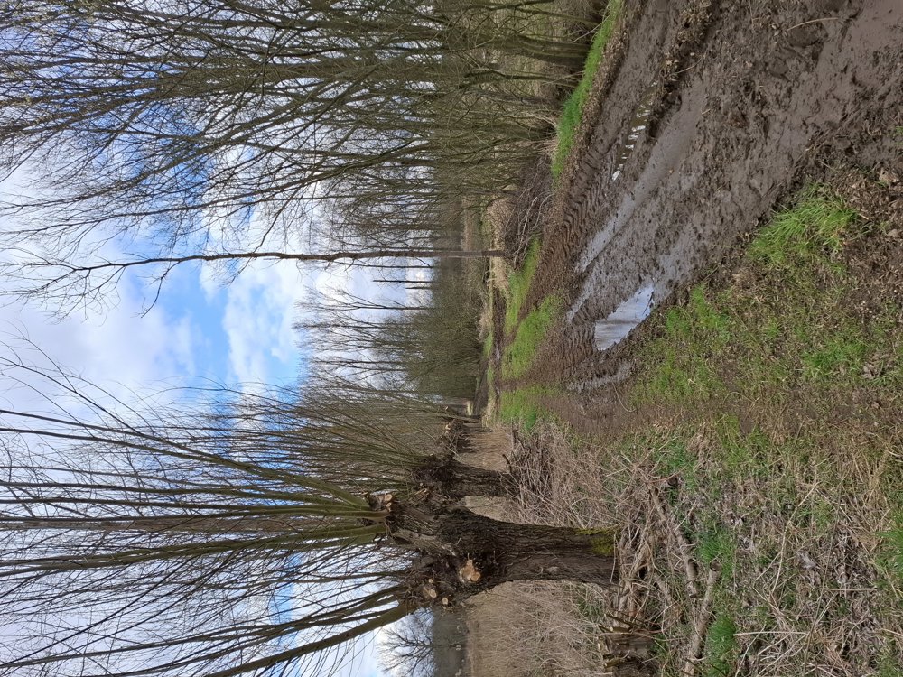
Departing from the center of Kermt towards the Demer and Steenlaak, mostly unpaved but easily passable. Just past the N725, follow the Demer for 600 m and continue to Spalbeek. The last stretch goes through the built-up area of Kermt. Nice quiet walk.

Bench(es): among others at 3.2/3.5 and 6.4 km.

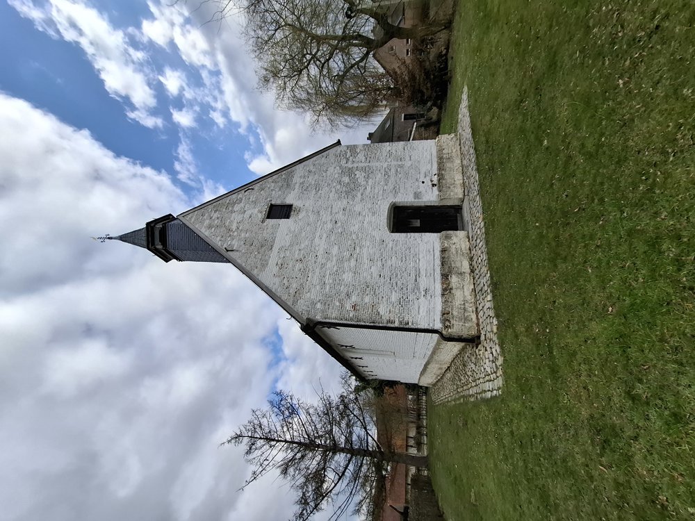
Attractions: Chapel of Our Lady of Lourdes.

automatic translation

This route does not have any reviews yet. Be the first!
Rate route!

Which POI do you want to show on the map?

Experimental hiking network
Unsigned icon

The route you have chosen runs (partly) along an experimental virtual hiking node network (the blue-coloured nodes and sections on the map).

You must be logged in to plan routes here.

Experimental hiking network
Unsigned icon

The route you have chosen runs (partly) along an experimental virtual hiking node network (the blue-coloured nodes and sections on the map).

These routes are not controlled in the field. Before you start hiking here, take a minute to read what an experimental hiking node network is and what rules you should follow when hiking here.

By clicking 'Accept all cookies,' you agree to the use of cookies for an enhanced user experience, website traffic analysis, and personalized advertisements. Cookie policy