 Hiking
 Login
Login More
More EN
EN Premium
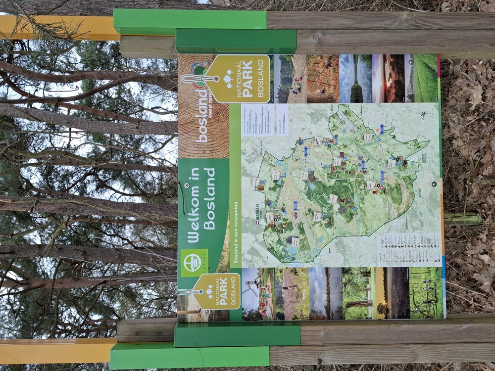
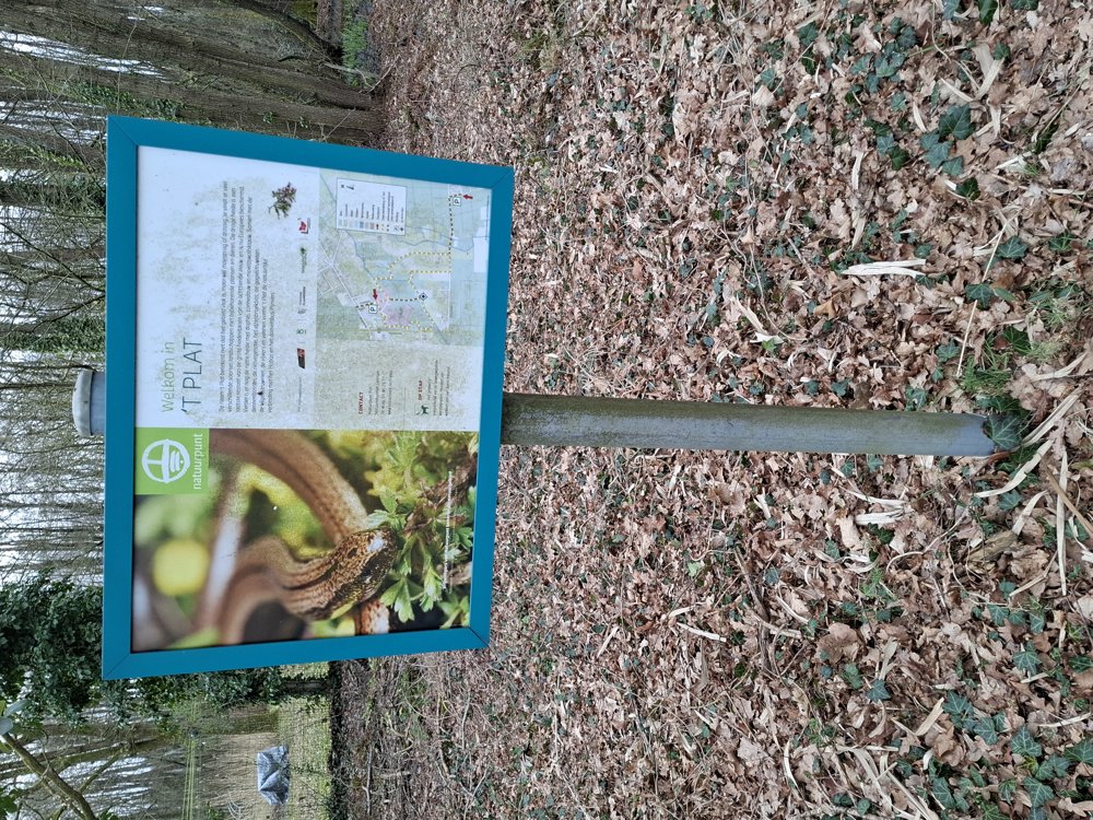
National Park Bosland 't Plat
automatic translation
8 km • Pelt
00 0 0/5
8 km
0.0 km
0.0 km
10 km
© OpenStreetMap contributors, Tracestrack

 Addresse starting point (approximate)
Palisstraat 14, 3900 Overpelt, BE
 signage
The route is fully signposted with nodes.
© Jan Theunis
 Description
Parking: ’t Plat Parking, Pallisstraat Pelt.
Signage: Junction points.
Hiking in Bosland National Park. Most of the trail goes over well-accessible forest paths. Only at the end, in the nature reserve ’t Plat, was it a bit muddy, but with some effort, you can pass everywhere. Nice hike with little traffic.
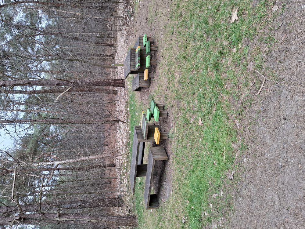
Resting bench(s): including at 1.1/2/3 and 5.2 km.
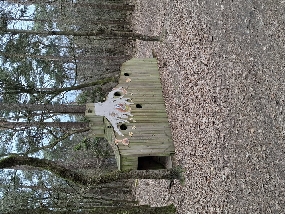
Attractions: Artworks in ’t Plat.
automatic translation
 nodes to follow
0 km
0.4 km
0.6 km
1.1 km
2.2 km
2.6 km
3 km
4.1 km
4.4 km
5 km
5.8 km
7.2 km
8 km


 Upgrade to Premium Plus
