 Hiking
 Login
Login More
More EN
EN Premium
Walking paths between waterways in Vucht
automatic translation
7 km • Maasmechelen
30 0 0/5

 Addresse starting point (approximate)
Steegstraat 7, 3630 Maasmechelen, BE
 signage
The route is signposted with thematic signs (no nodes). You can use a GPS device or our app to follow the route through the virtual nodes.
 Description
At the church square of Vucht (Maasmechelen), we take the alley next to the church. Immediately, we are in the fields.
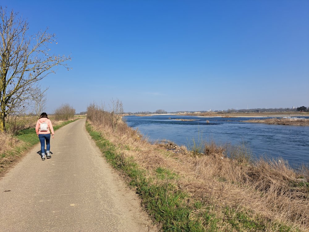
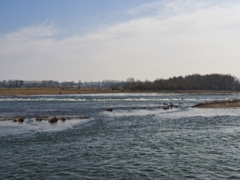
At the end of the dirt path, by an abandoned gravel mining point, we end up on the towpath along the Grensmaas. On the other side, the Dutch are busy extracting gravel. The Maas is wide here, and the small islands are a paradise for water birds.
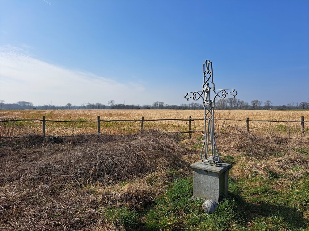
We pass the wrought-iron Maas cross, an indication that the shipping channel changes sides here (see information board). We follow the Maas to the Kikbeek, which leads us to the Zuid-Willemsvaart. Here is a better towpath, ideal for cyclists.
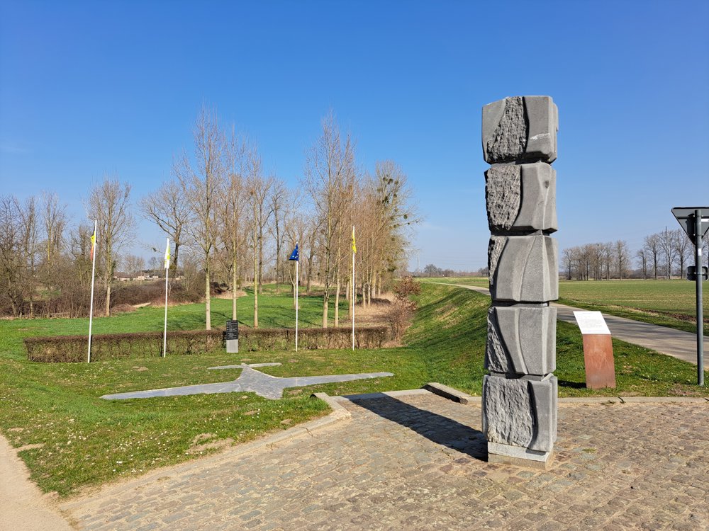
A little further, we descend between lower fields serving as retention basins during high water. At the top of the next dyke, we see an image of a downed aircraft. In 1940, two officers were intercepted here with important documents on board (see information board).
We walk back into the village center, the end of an intriguing walk.
automatic translation
 nodes to follow
0 km
0.4 km
1.7 km
3.5 km
3.6 km
4.5 km
5.4 km
6.2 km

7 km


 Upgrade to Premium Plus
