Loading...

From the Slagmolen to Cosmogolempark.

automatic translation

7 km • Genk

60 0 0/5

7 km 0.0 km 0.0 km
10 km
© OpenStreetMap contributors, Tracestrack

route offered by

Jan Theunis

Icon starting point Addresse starting point (approximate)

Slagmolenweg 76, 3600 Genk, BE

Icon type signage of route signage

The route is partially signposted with nodes. Use a GPS device or our app to follow the route.

49 m 48.4 m 87.1 m 52.9 m These values indicate respectively the number of meters to rise, the highest and the lowest point in meters.
Atmosphere image 1 of route From the Slagmolen to Cosmogolempark. Atmosphere image 2 of route From the Slagmolen to Cosmogolempark. Atmosphere image 3 of route From the Slagmolen to Cosmogolempark.
© Jan Theunis

Icon description route Description

Parking: Parking at the Slagmolen, Slagmolenweg 53 Genk

Signage: Walking app/GPS.

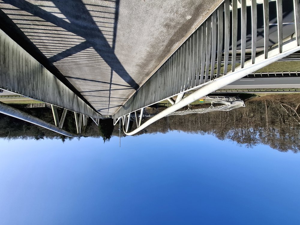
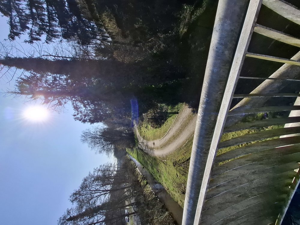
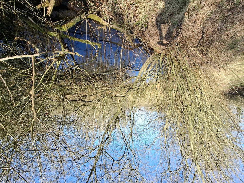
From the Slagmolen to Genk, once past the Genk station, it goes shortly afterwards through a small wooded area and over the N76 via the bike/pedestrian bridge. Then along the Stiemerbeek and through Nieuw-Termien back to the parking.

Rest bench(es): among others at 2.2/3.7/4.4/5.6 and 5.9 km.

automatic translation

Icon nodes to follow nodes to follow

Image node 52
0 km
Image node 51
0.8 km
Image node 48
3.7 km
Image node 47
4.7 km
Image node 51
5.6 km
Icon deviation route
5.7 km
Icon deviation route
5.7 km
Icon deviation route
6 km
Icon deviation route
6.2 km
Icon deviation route
6.3 km
Icon deviation route
6.5 km
Image node 52
7 km
This route does not have any reviews yet. Be the first!
Rate route!

Which POI do you want to show on the map?

Experimental hiking network
Unsigned icon

The route you have chosen runs (partly) along an experimental virtual hiking node network (the blue-coloured nodes and sections on the map).

You must be logged in to plan routes here.

Experimental hiking network
Unsigned icon

The route you have chosen runs (partly) along an experimental virtual hiking node network (the blue-coloured nodes and sections on the map).

These routes are not controlled in the field. Before you start hiking here, take a minute to read what an experimental hiking node network is and what rules you should follow when hiking here.

By clicking 'Accept all cookies,' you agree to the use of cookies for an enhanced user experience, website traffic analysis, and personalized advertisements. Cookie policy