Loading...

Flemish Nature Reserve Mechelse Heide

automatic translation

8.3 km • Maasmechelen

170 0 0/5

8.3 km 0.0 km 0.0 km
10 km
© OpenStreetMap contributors, Tracestrack

route offered by

Jan Theunis

Icon starting point Addresse starting point (approximate)

Joseph Smeetslaan 280, 3630 Maasmechelen, BE

Icon type signage of route signage

The route is not signposted. Use a GPS device or our app to follow the route through the virtual nodes.

69.3 m 72.8 m 90.9 m 44.3 m These values indicate respectively the number of meters to rise, the highest and the lowest point in meters.
Atmosphere image 1 of route Flemish Nature Reserve Mechelse Heide Atmosphere image 2 of route Flemish Nature Reserve Mechelse Heide
© Jan Theunis

Icon description route Description

Parking: Joseph Smeetslaan Maasmechelen, entrance gate Mechelse Heide

Signage: Virtual junctions, so use a walking app/GPS.

Hiking in the “Flemish Nature Reserve Mechelse Heide,” the majority goes through the Mechels Bos on well-passable forest paths, initially 1.3 km over a paved cycling/walking path. Entirely car-free, except when crossing the N763, watch out for vehicles. It is not a flat hike, but certainly not a heavy one; a bit of fitness suffices.

Rest bench(es): among others at 3.2/5.1/7.1 and 7.6 km.

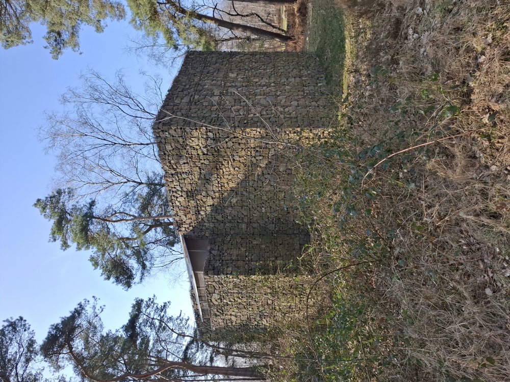
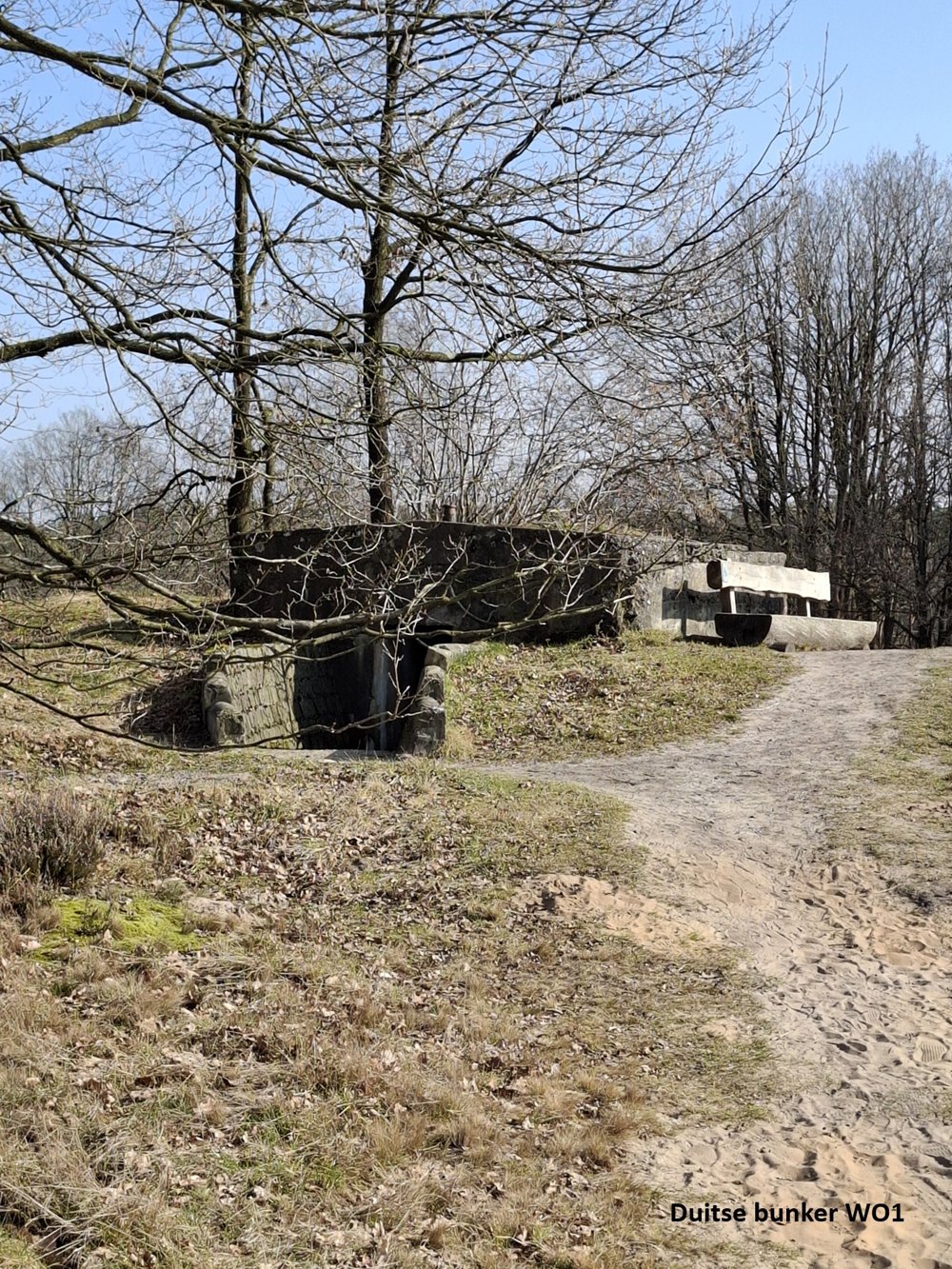
Sights: German WW1 bunker

automatic translation

Icon nodes to follow nodes to follow

Image node 39
0 km
Image node 137
0.1 km
Image node 138
0.4 km
Image node 139
0.5 km
Image node 76
2.1 km
Image node 54
3.2 km
Image node 136
5.9 km
Image node 135
7.1 km
Image node 137
8.2 km
Image node 39
8.3 km
This route does not have any reviews yet. Be the first!
Rate route!

Which POI do you want to show on the map?

Experimental hiking network
Unsigned icon

The route you have chosen runs (partly) along an experimental virtual hiking node network (the blue-coloured nodes and sections on the map).

You must be logged in to plan routes here.

Experimental hiking network
Unsigned icon

The route you have chosen runs (partly) along an experimental virtual hiking node network (the blue-coloured nodes and sections on the map).

These routes are not controlled in the field. Before you start hiking here, take a minute to read what an experimental hiking node network is and what rules you should follow when hiking here.