Loading...

The land of 1001 ponds

automatic translation

10.4 km • Zonhoven

650 0 0/5

10.4 km 0.0 km 0.0 km
10 km
© OpenStreetMap contributors, Tracestrack

route offered by

Nico Schepers

Icon starting point Addresse starting point (approximate)

Zwanenstraat 105, 3520 Zonhoven, BE

Icon type signage of route signage

The route is fully signposted with nodes.

65.8 m 50.7 m 46 m 31.9 m These values indicate respectively the number of meters to rise, the highest and the lowest point in meters.
Atmosphere image 1 of route The land of 1001 ponds Atmosphere image 2 of route The land of 1001 ponds Atmosphere image 3 of route The land of 1001 ponds
© Nico Schepers

Icon description route Description

This walk is just a small part of the 450 km of hiking trails of the new Hiking Network De Wijers.

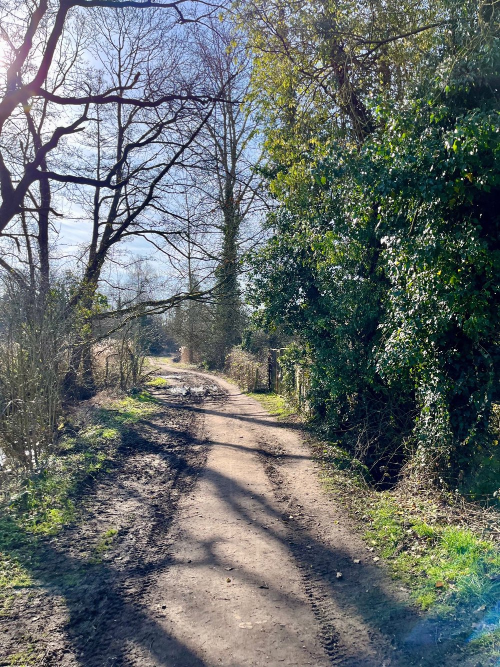
We started at the large parking area opposite Camping Heidestrand in Zwanenstraat in Zonhoven. On this parking lot, there is an information board with the junction points, but you can also choose one of the routes indicated by a colored symbol.

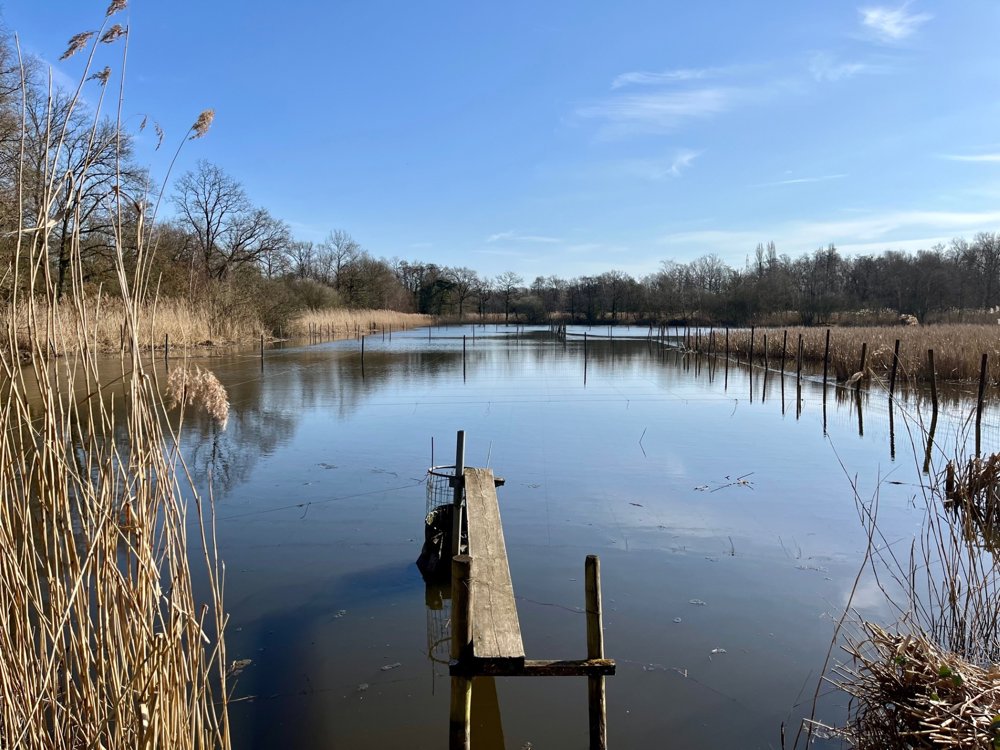
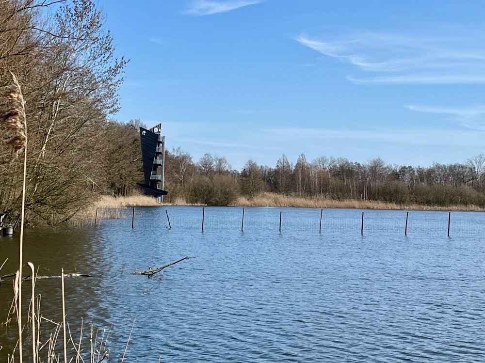
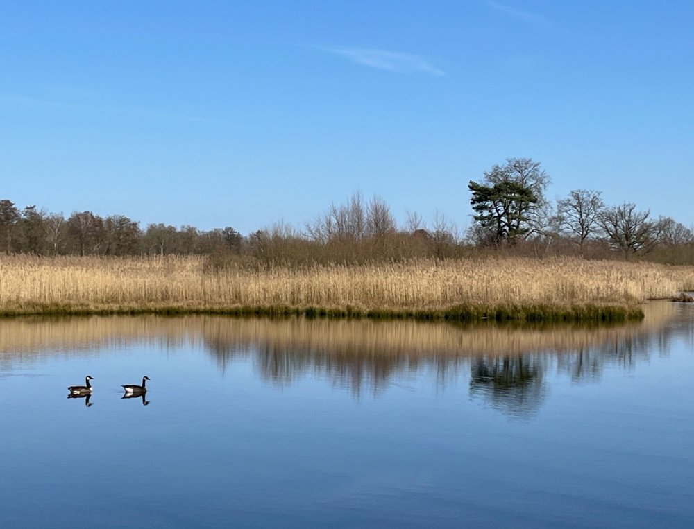
As the title already suggests, you mainly walk along and between the numerous ponds that make this area so beautiful. You hear and see all kinds of (water)birds. A paradise for both hikers and avid birdwatchers. We came across two bird watching huts along the way. From the lookout tower near junction 84, you have a fantastic view over the wide surroundings on a clear day.

automatic translation

Icon nodes to follow nodes to follow

Image node 83
0 km
Image node 90
0.5 km
Image node 84
0.6 km
Image node 86
1.8 km
Image node 87
2.9 km
Image node 88
3.6 km
Image node 89
5.2 km
Image node 91
5.4 km
Image node 92
6.1 km
Image node 94
7.4 km
Image node 85
8.2 km
Image node 96
9.6 km
Image node 90
9.9 km
Image node 83
10.4 km
This route does not have any reviews yet. Be the first!
Rate route!

Which POI do you want to show on the map?

Experimental hiking network
Unsigned icon

The route you have chosen runs (partly) along an experimental virtual hiking node network (the blue-coloured nodes and sections on the map).

You must be logged in to plan routes here.

Experimental hiking network
Unsigned icon

The route you have chosen runs (partly) along an experimental virtual hiking node network (the blue-coloured nodes and sections on the map).

These routes are not controlled in the field. Before you start hiking here, take a minute to read what an experimental hiking node network is and what rules you should follow when hiking here.

By clicking 'Accept all cookies,' you agree to the use of cookies for an enhanced user experience, website traffic analysis, and personalized advertisements. Cookie policy