 Hiking
 Login
Login More
More EN
EN Premium
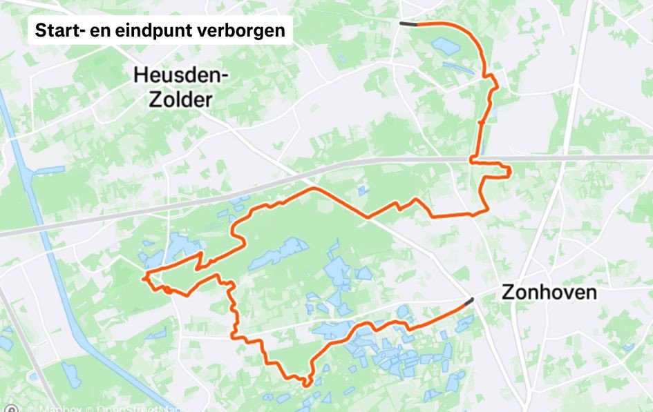
Through De Wijers from station to station (part2)
automatic translation
14.1 km • Heusden-Zolder
150 0 0/5

 Addresse starting point (approximate)
Kerkstraat 151, 3550 Heusden-Zolder, BE
 signage
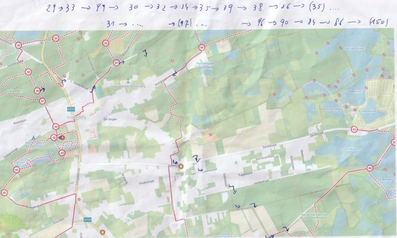
The route is fully signposted with nodes.
 Description
This is part 2 of a 27 km long hiking trail from Zolder station to Zonhoven station via Bolderberg.
It takes us from the Velodrome of Terlaemen to the station of Zonhoven.
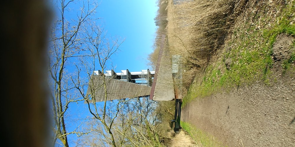
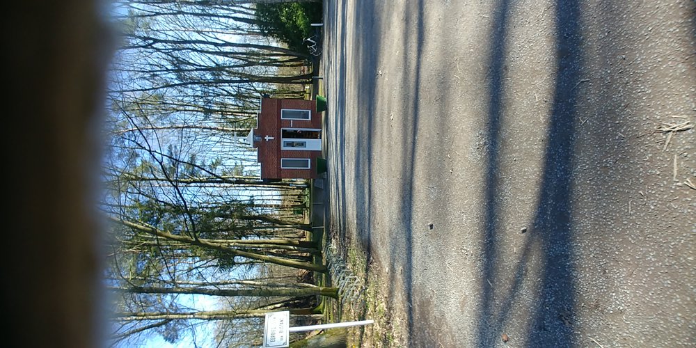
We are walking here in the Wijers, which means we are surrounded by (fish) ponds, and along the way, the Chapel of Our Lady of Perpetual Help and a lookout tower of the Platwijers are gems of resting places.
In one of the photos, you see a way to slightly shorten the route and bypass the vault, but then you miss the safety of following junction points.
automatic translation
 nodes to follow
0 km
0.4 km
0.6 km
0.7 km
1 km
2 km
2.5 km
3.2 km
3.7 km
6.6 km
9.2 km
9.5 km
9.7 km
10.8 km
14.1 km


 Upgrade to Premium Plus
