 Hiking
 Login
Login More
More EN
EN Premium
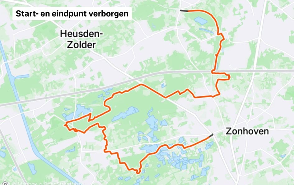
Through De Wijers from station to station (part 1)
automatic translation
13.4 km • Heusden-Zolder
120 0 0/5

 Addresse starting point (approximate)
Stationsstraat 71, 3550 Heusden-Zolder, BE
 signage
The route is fully signposted with nodes.

 Description
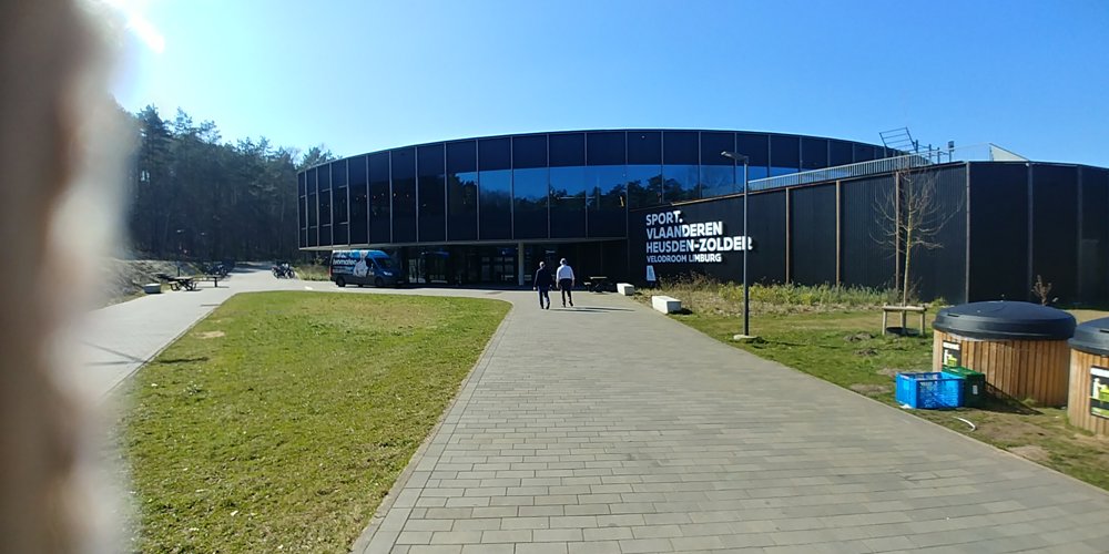
Start at Zolder station and via Laambeek and Kluis to Velodroom.
This is part 1 of a 27 km long journey from Zolder station to Zonhoven station. Here, everything can be followed entirely through junction points.
It is an introduction to De Wijers, where an encounter with ponds is hard to avoid. Fortunately, this leads to a beautiful walk, where tranquility is guaranteed despite the proximity of the highway.
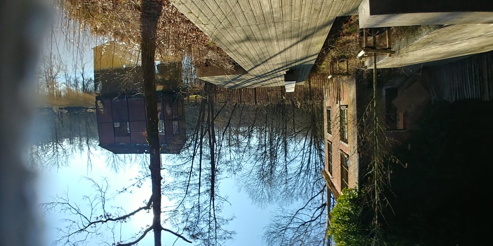
Attractions include the Pump House at the Laambroekvijvers, the panorama of ponds, and the castle of Terlaemen from the Kluis of Bolderberg.
automatic translation
 nodes to follow
0 km
2.1 km
2.9 km
4.2 km
4.5 km
6 km
6.6 km
7.7 km
10.3 km
10.6 km
10.9 km
11.6 km
12 km
12.3 km
13 km
13.4 km


 Upgrade to Premium Plus
