 Hiking
 Login
Login More
More EN
EN Premium
Discover the secrets of the lovely village of Elen
automatic translation
8 km • Dilsen-Stokkem
1530 0 0/5

 Addresse starting point (approximate)
Laakstraat 2, 3650 Dilsen-Stokkem, BE
 signage
The route is not signposted. Use a GPS device or our app to follow the route through the virtual nodes.

 Description
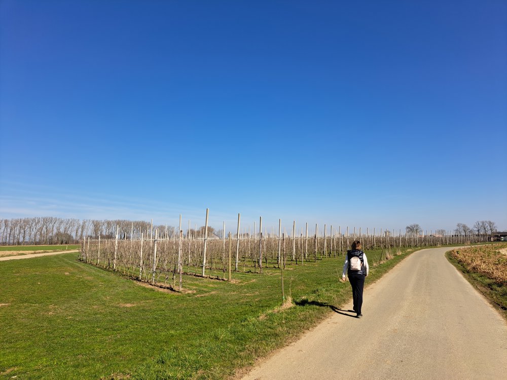
We depart from under the shadow of the church tower and walk out of this picturesque village via beautiful paths past meadows and horse stables.
We pass a small chapel with a centuries-old statue of Mary. We leave the concrete road and slowly walk toward the Maas. At the beautifully restored Damiaanhoeve, there is a bust of a woman, as a reminder of the resident who was once happy here. Her fate ultimately also had a dark side.
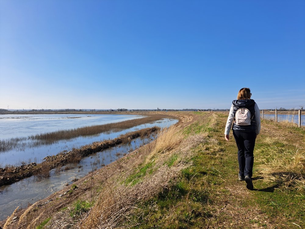
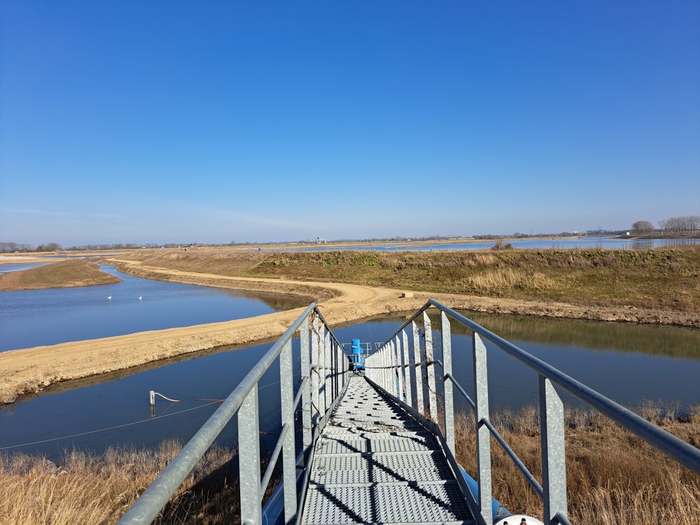
The walking path takes us to the gravel extractions along this body of water. It is a spectacle to see how the greedy grabber bites into the bottom of the pit and spits the stones into the sorting machine. All that water also turns out to be a favorite area for many waterfowl, don't forget your binoculars and camera!
It is billiard-flat here, the view is fantastic, the border markers indicate that you can even look across the border here. The blue sky and water lend a wonderful atmosphere to this area. This piece of nature is beautiful!
automatic translation
 nodes to follow
0 km
0.2 km
0.8 km
1.2 km
2.3 km
6.8 km
8 km


 Upgrade to Premium Plus
