 Hiking
 Login
Login More
More EN
EN Premium
Discover the most beautiful places in Gellik (Lanaken)
automatic translation
8.6 km • Lanaken
1280 0 0/5

 Addresse starting point (approximate)
Kerkstraat 13, 3620 Lanaken, BE
 signage
The route is not signposted. Use a GPS device or our app to follow the route.
 Description
We start from the parking lot in front of the beautiful church with a very special tower.
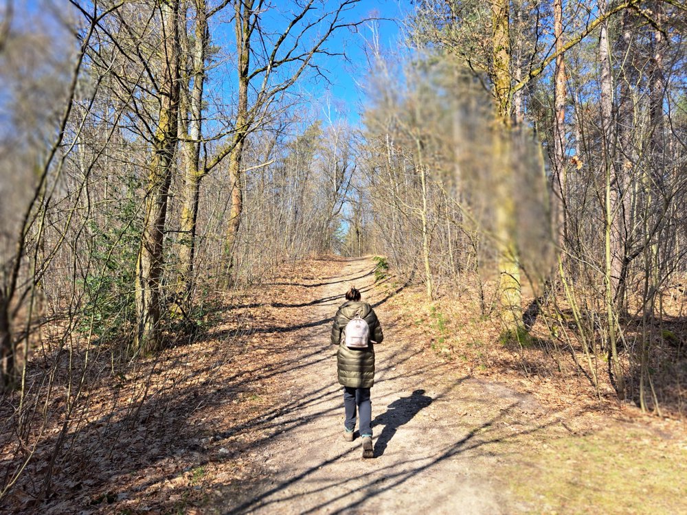
We walk a short distance through the village to then follow a path into nature. Many tourists have already found their way here and have built a vacation cottage. Many color walks guide you through the beautiful forests. We seek out the most beautiful spots.
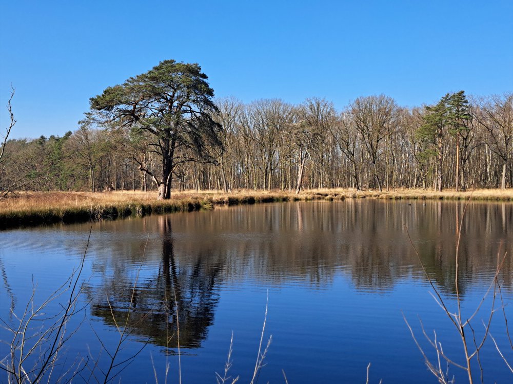
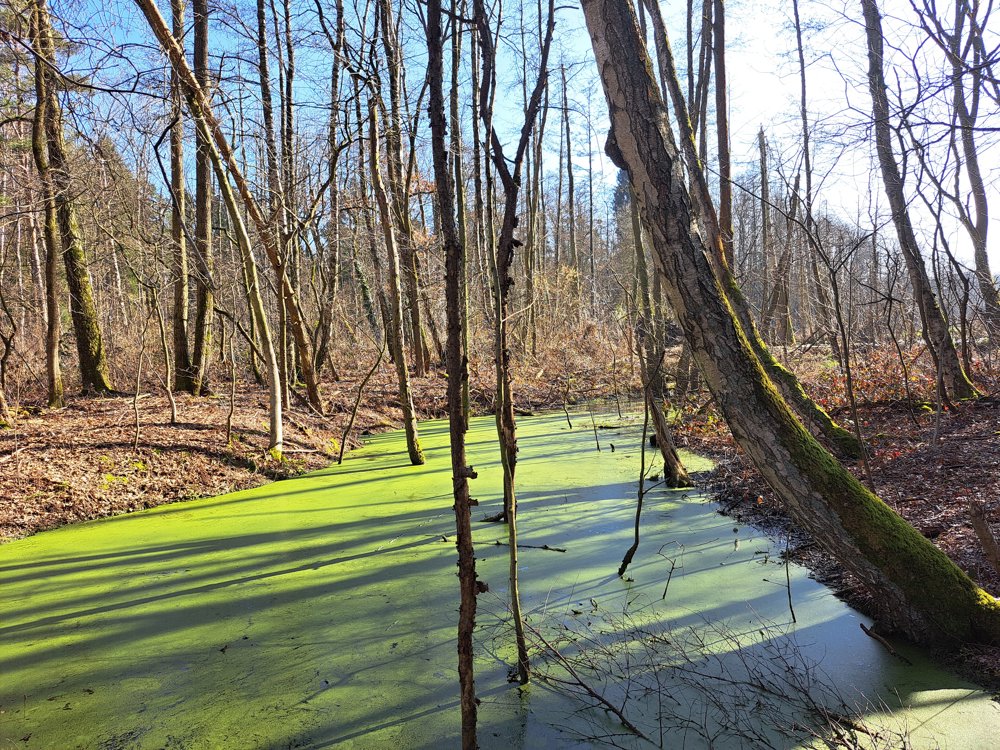
The nature here is beautiful: tall trees, wide fields, and meadows with enchanting ponds covered by a mysterious green layer. Don't be afraid of the vampire cellar; can you find it?
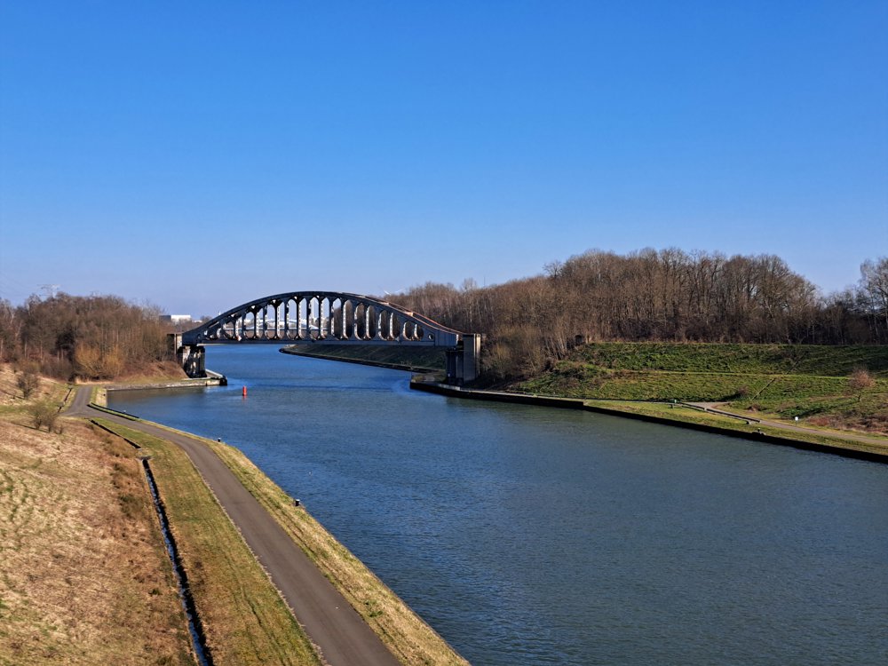
A little later, you find yourself on a towpath along a deeply cut channel of the Albert Canal, impressive when you know it was dug by hand. The Vierendeel bridge is a landmark in the landscape.
A steep climb brings you to the church and the war monuments. Read the heroic stories of the brave pilots who are honored here with a monument. Enjoy afterwards in a typical village café. Cheers!
automatic translation


 Upgrade to Premium Plus
