Tenhaagdoornheide

automatic translation

8.7 km • Houthalen-Helchteren

1420 0 0/5

8.7 km 0.0 km 0.0 km
10 km
© OpenStreetMap contributors, Tracestrack

route offered by

Jan Theunis

Icon starting point Addresse starting point (approximate)

Kelchterhoefstraat 10, 3530 Houthalen-Helchteren, BE

Icon type signage of route signage

The route is fully signposted with nodes.
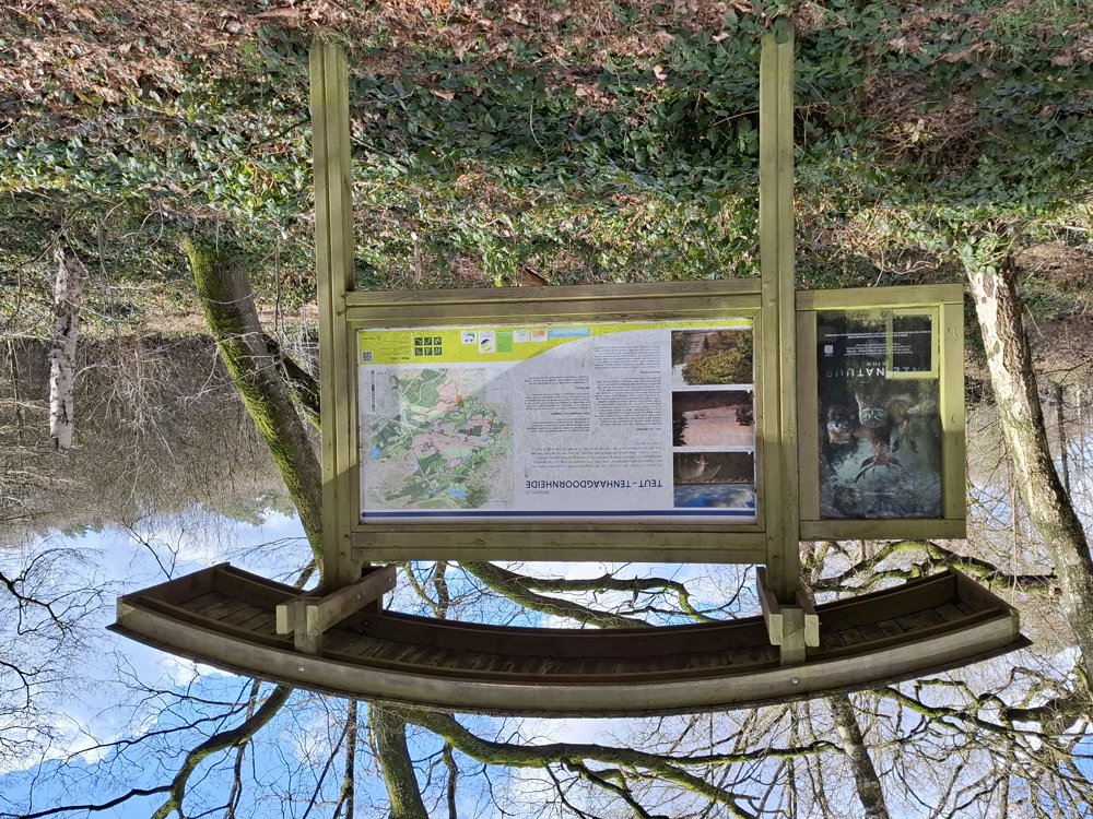
109.2 m 85.2 m 94.9 m 55.5 m These values indicate respectively the number of meters to rise, the highest and the lowest point in meters.
Atmosphere image 1 of route Tenhaagdoornheide Atmosphere image 2 of route Tenhaagdoornheide Atmosphere image 3 of route Tenhaagdoornheide
© Jan Theunis

Icon description route Description

Parking: Parking Vacation Center "De Bosberg", Kelchterhoefstraat 10 Houthalen-Helchteren.

Signage: Junction points.

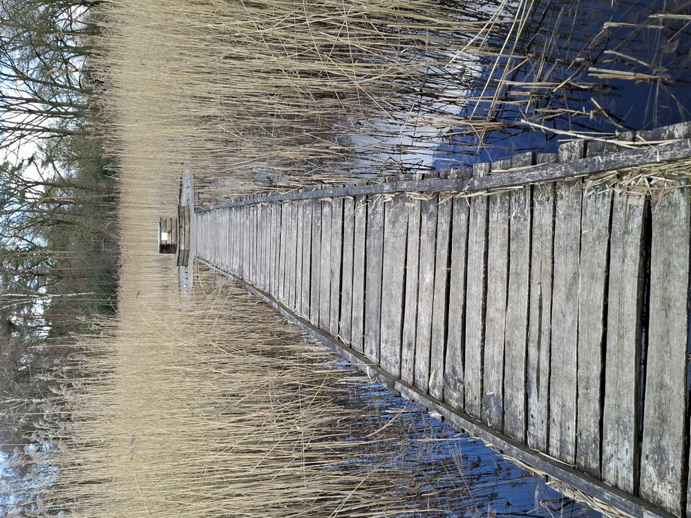
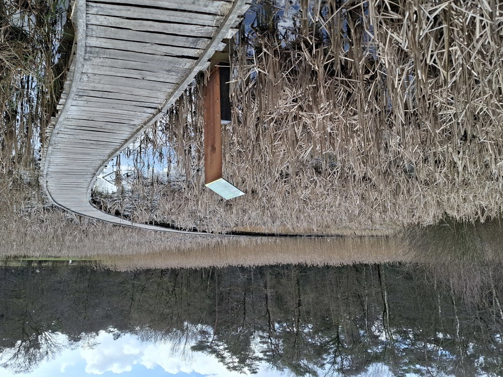
Beautiful walk through the forests of Kelchterhoef, part of it goes through the "Flemish Nature Reserve Tenhaagdoornheide". The paths are easily passable, only the section after junction 18 is said to be very muddy. 200 meters past junction 18, there is a sign indicating that it is better to avoid this section. Head towards the main road and then walk on the bike path to the first path on the left (+/- 600 meters), then you can rejoin the original walk. In dry weather, you can go directly to junction 12.

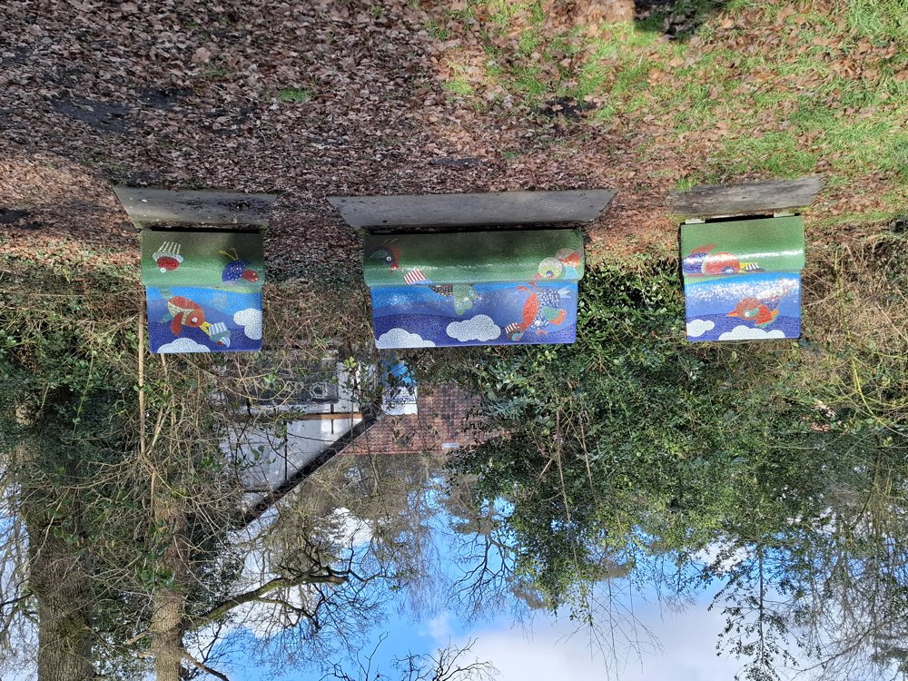
Bench(es): among others at 1.1/1.9/7.3 and 8.2 km.

automatic translation

Icon nodes to follow nodes to follow

Image node TP
0 km
Image node 13
1.3 km
Image node 14
1.9 km
Image node 15
2.9 km
Image node 16
3.3 km
Image node 17
5.6 km
Image node 18
5.7 km
Image node 12
7.1 km
Image node 2
7.3 km
Image node 3
7.4 km
Image node 4
7.9 km
Image node 4
7.9 km
Image node 10
8.1 km
Image node 11
8.6 km
Image node TP
8.7 km
This route does not have any reviews yet. Be the first!
Rate route!

Which POI do you want to show on the map?

Experimental hiking network
Unsigned icon

The route you have chosen runs (partly) along an experimental virtual hiking node network (the blue-coloured nodes and sections on the map).

You must be logged in to plan routes here.

Experimental hiking network
Unsigned icon

The route you have chosen runs (partly) along an experimental virtual hiking node network (the blue-coloured nodes and sections on the map).

These routes are not controlled in the field. Before you start hiking here, take a minute to read what an experimental hiking node network is and what rules you should follow when hiking here.

By clicking 'Accept all cookies,' you agree to the use of cookies for an enhanced user experience, website traffic analysis, and personalized advertisements. Cookie policy