Loading...

Flemish Nature Reserve Molenheide

automatic translation

7.8 km • Zonhoven

2140 0 0/5

7.8 km 0.0 km 0.0 km
10 km
© OpenStreetMap contributors, Tracestrack

route offered by

Jan Theunis

Icon starting point Addresse starting point (approximate)

Holsteenweg 49, 3520 Zonhoven, BE

Icon type signage of route signage

The route is fully signposted with nodes.

68 m 84.8 m 94.6 m 57.4 m These values indicate respectively the number of meters to rise, the highest and the lowest point in meters.
Atmosphere image 1 of route Flemish Nature Reserve Molenheide Atmosphere image 2 of route Flemish Nature Reserve Molenheide Atmosphere image 3 of route Flemish Nature Reserve Molenheide
© Jan Theunis

Icon description route Description

Parking: New spacious parking lot on Holsteenweg in Zonhoven.

Signage: Junctions.

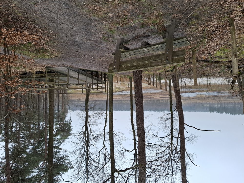
Beautiful walk through the forests and heathlands of Nature Reserve Molenheide. When the heath is in bloom, you should definitely come (back) here.

Up to km 3.5, the paths are very passable, but from then on there are sections that are very muddy after rainfall. Wear waterproof hiking boots.

A downside is the section close to the E314 because of the noise.

Due to the construction of the Reindeer Hunters’ Path, a few junctions have been moved at the end, but you won’t get 'lost' ;-).

Rest benches: among others after 0.5/1.4/1.9/2.9/3.9/5.6/6.5 and 7.5 km.

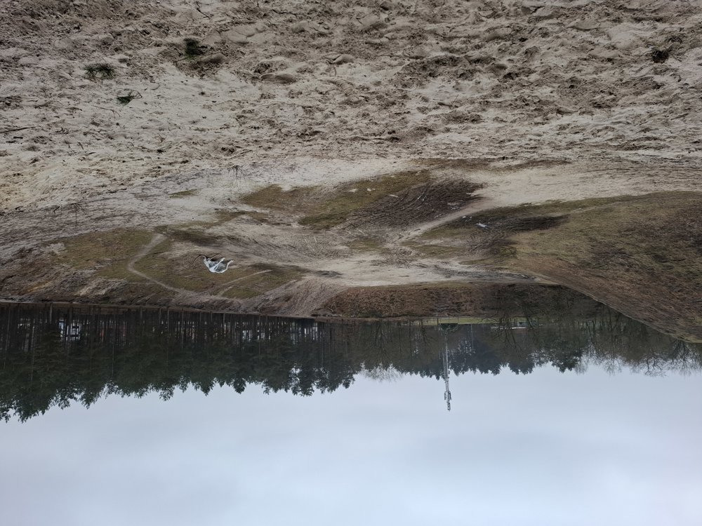
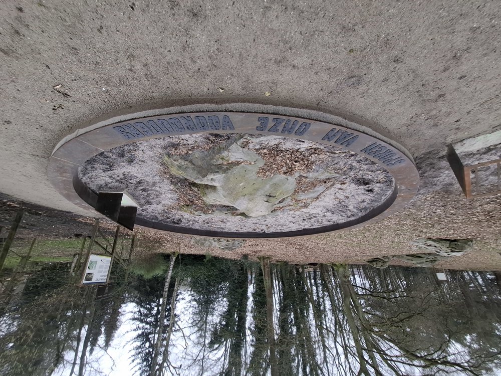
Sights: Mammoth in “the pit” / The Holsteen

Catering: Cafeteria Holsteenbron.

automatic translation

Icon nodes to follow nodes to follow

Icon start route
0 km
Icon deviation route
0.4 km
Icon deviation route
0.6 km
Icon deviation route
0.8 km
Image node 118
0.9 km
Image node 144
1.9 km
Image node 41
2.6 km
Image node 42
2.9 km
Image node 40
4.3 km
Image node 39
4.5 km
Image node 37
7.1 km
Icon stop route
7.8 km
This route does not have any reviews yet. Be the first!
Rate route!

Which POI do you want to show on the map?

Experimental hiking network
Unsigned icon

The route you have chosen runs (partly) along an experimental virtual hiking node network (the blue-coloured nodes and sections on the map).

You must be logged in to plan routes here.

Experimental hiking network
Unsigned icon

The route you have chosen runs (partly) along an experimental virtual hiking node network (the blue-coloured nodes and sections on the map).

These routes are not controlled in the field. Before you start hiking here, take a minute to read what an experimental hiking node network is and what rules you should follow when hiking here.

By clicking 'Accept all cookies,' you agree to the use of cookies for an enhanced user experience, website traffic analysis, and personalized advertisements. Cookie policy