 Hiking
 Login
Login More
More EN
EN Premium
Between Rail and Fochel
automatic translation
11.4 km • Opwijk
 official route
1.0447 5 4.5/5

 Addresse starting point (approximate)
Stwg. Op Lebbeke 76, 1745 Opwijk, BE
 signage
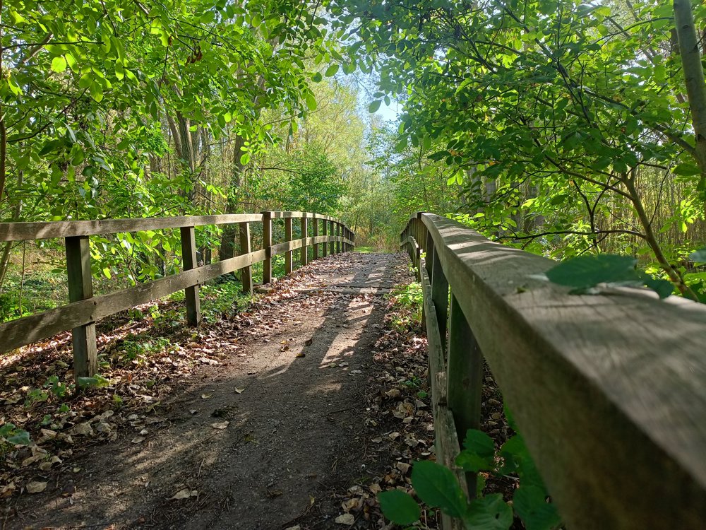
The route is fully signposted with nodes.
 Description
This walk was part of the 2024 edition of the Hiking Node Point Searches and starts along the Dendermonde-Brussels railway line in Heizijde, a hamlet of Lebbeke.
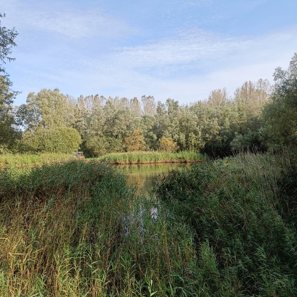
After departing, you almost immediately walk into the Heistergem retention basin, with its 17 hectares, the largest retention basin in the region.
You continue towards the center of Lebbeke, but not without first passing by Rosseveld. This is a beautiful 'community garden', where about 25 families from the neighborhood garden ecologically.
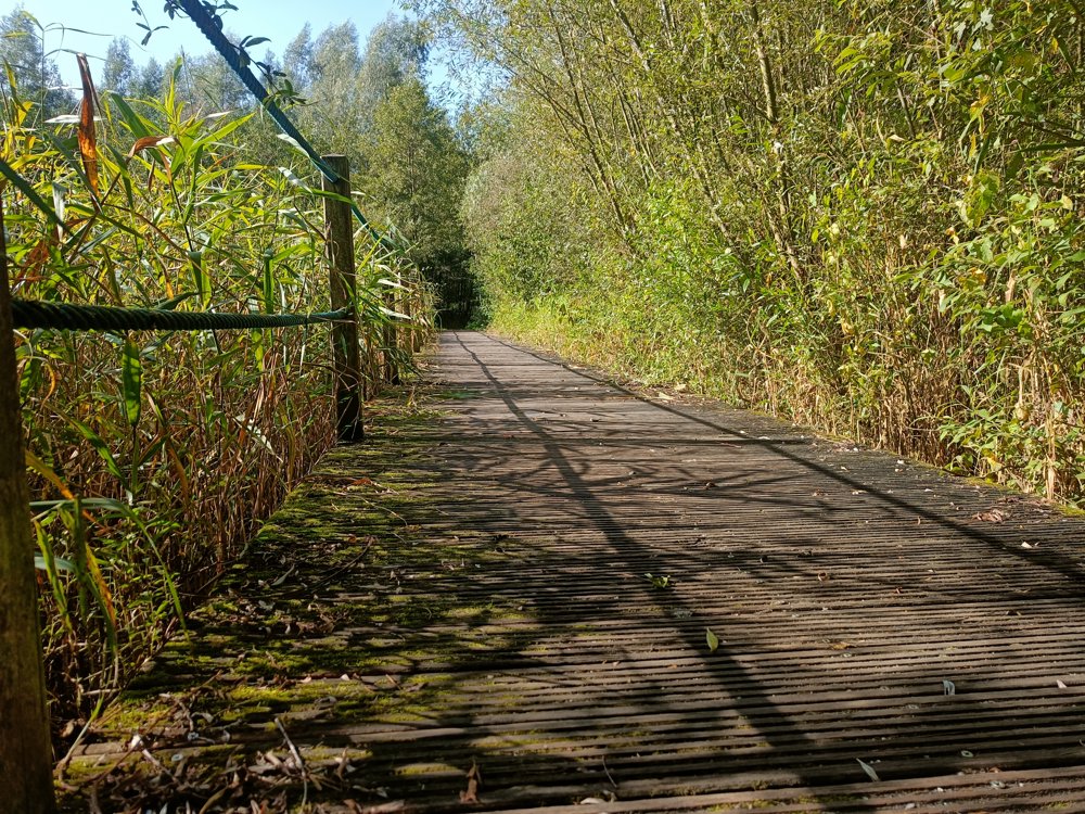
From the center, you continue towards two more retention basins: Fochel-West and Fochel-Oost. Here you walk over boardwalks and the rail line comes back into view.
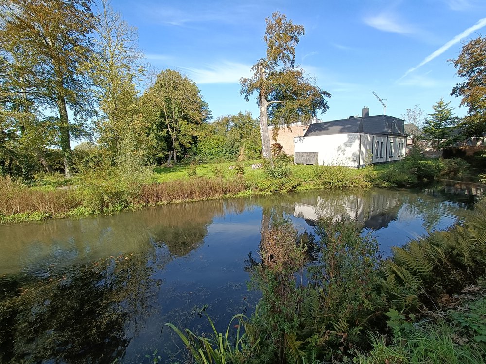
In the last part of this walk, you can admire the Castle De Naeyer.
🅿️ Along the railway line at Heizijde station.
automatic translation
 nodes to follow
0 km
1.2 km
2.1 km
2.8 km
4.3 km
4.7 km
6 km
6.6 km
7.8 km
9.7 km
11.4 km
Wednesday, April 9, 2025 by Sven NijsWhite is a testjjj
automatic translation
Monday, April 7, 2025 by Benjamin KeppensWe enjoyed this hike (Sunday 6/4/2025) that takes you into beautiful natural areas, but also shows Lebbeke and its hamlets: a discovery!
automatic translation
Sunday, February 23, 2025 by C.P.The paths through the nature reserves are real gems.Quiet walking & enjoying nature. Inevitably you also walk through residential areas. Between node 43 & 42 there was no way through today. Fallen trees in a very swampy area...so we returned a bit & walked along the street; a pity, just a beautiful piece of nature reserve.
automatic translation
Monday, February 17, 2025 by O.M.very surprising hike! we enjoyed it. beware! in winter weather it is boggy and better adjust your footwear.
automatic translation
Tuesday, February 11, 2025 by Yannick MertensBeautiful route through green Lebbeke. In the center you can stop at café Halfweg or the cafeteria of the sports complex. In Fochel East and West there are not everywhere boardwalks, here it can get very swampy in wet periods. Sturdy footwear is definitely a must then.
automatic translation


 Upgrade to Premium Plus
