 Hiking
 Login
Login More
More EN
EN Premium
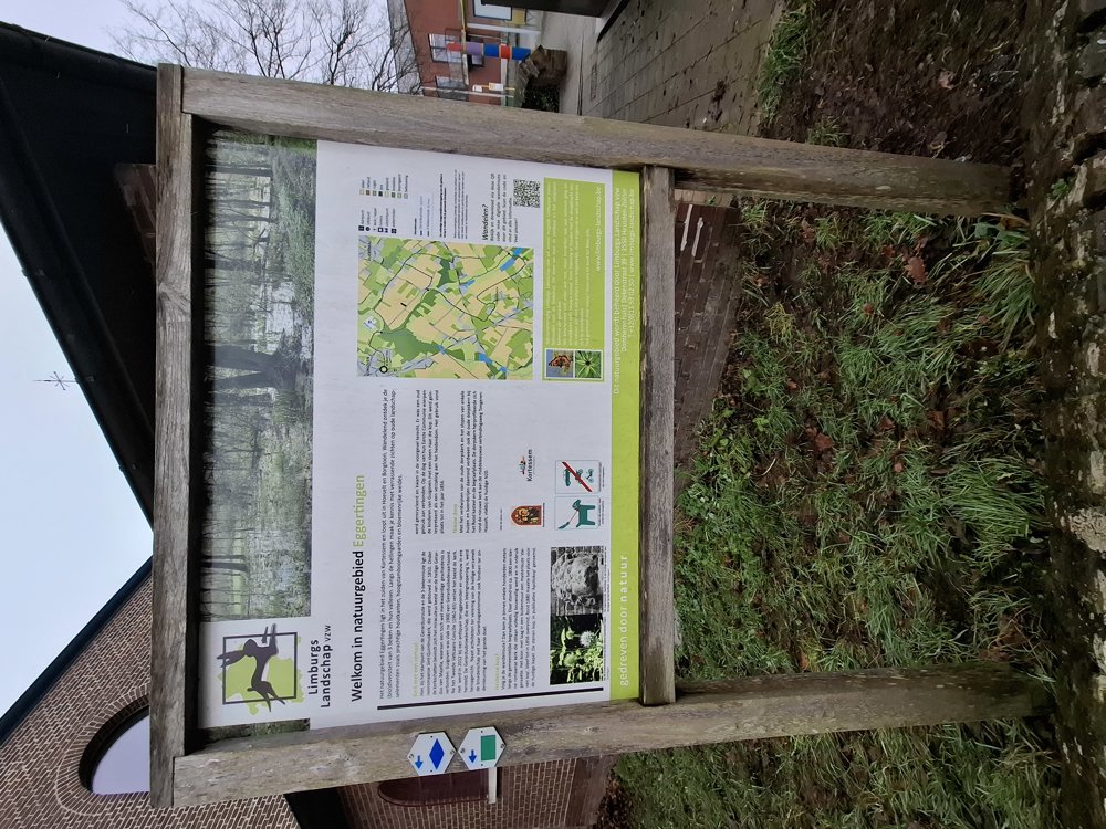
Hiking around Nature Reserve Eggertingen
automatic translation
11.4 km • Hasselt
2520 0 0/5

 Addresse starting point (approximate)
Brandstraat 26, 3723 Kortessem, BE
 signage
The route is partially signposted with nodes. Use a GPS device or our app to follow the route.
 Description
Parking: Brandstraat Guigoven (near the church).
Signage: Walking app or GPS.
The majority of the walk can follow waypoints, namely 104-16-61-62. In Gors, turn right into Hoogstraat and immediately left into Mellenstraat, past the castle of Gors, to Diepstraat. Then take the second street on the left to Wouddal, where you reconnect to the waypoint network towards 104.
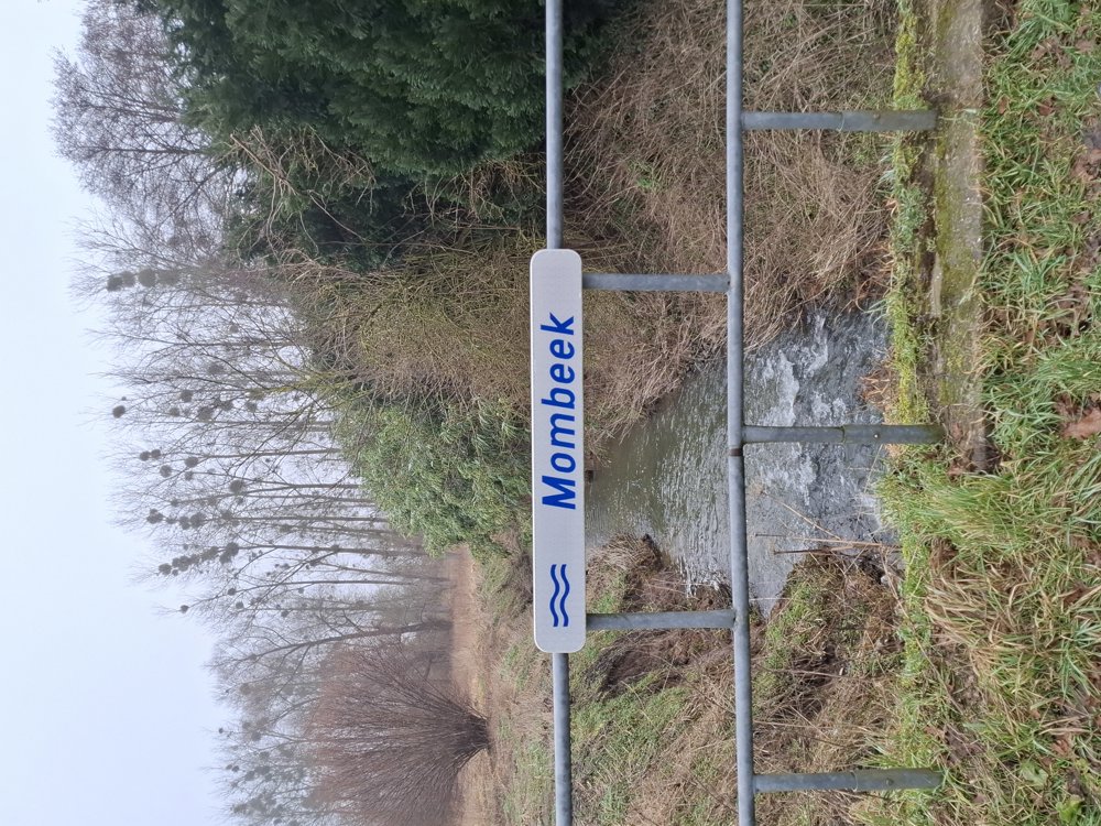
The walk is 99% on paved roads, but this Haspengouw trip is definitely worth it, alternating through fields and orchards.
Also notable are the many mistletoes. Up to point 62, you follow part of the Regional Trail Haspengouw.
Rest bench(es): among others after 0.9/4.4 and 8.4 km.
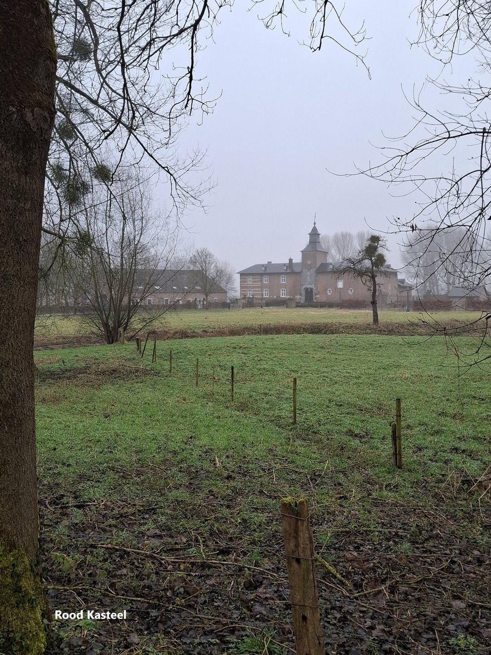
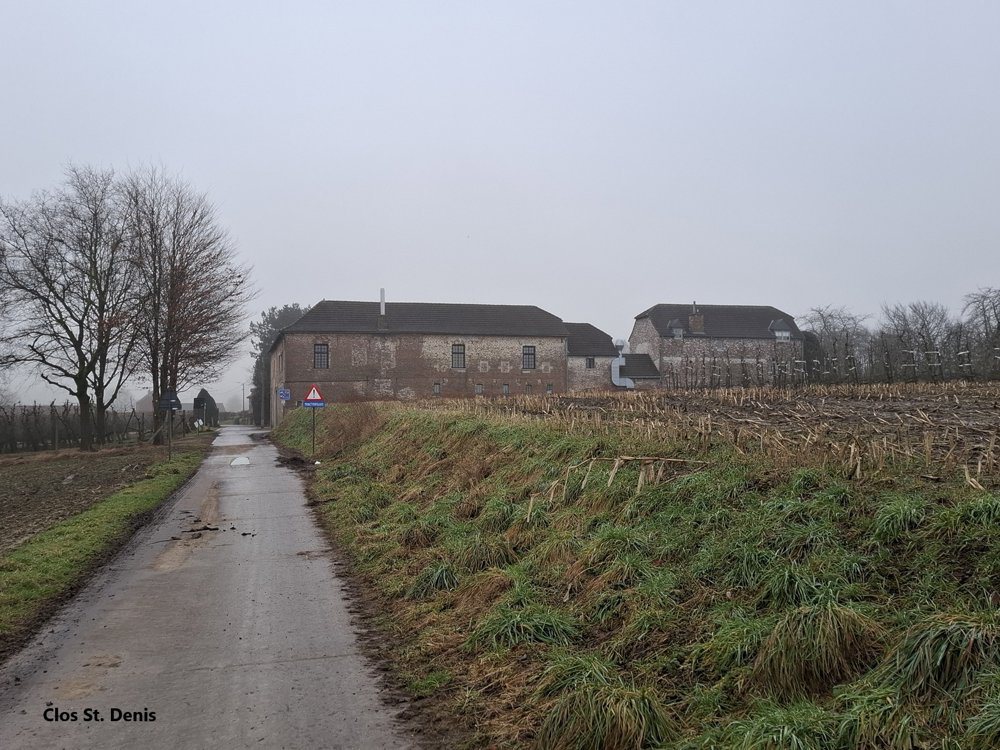
Attractions: Domaine Clos St. Denis / Castle of Gors.
automatic translation
 nodes to follow
0 km
0.1 km
4.3 km
7.2 km
7.9 km

9.3 km
10.8 km
11.4 km

11.5 km


 Upgrade to Premium Plus
