 Hiking
 Login
Login More
More EN
EN Premium
Walking on the Nightjar Trail
automatic translation
7.8 km • Leopoldsburg
1760 0 0/5
7.8 km
0.0 km
0.0 km
10 km
© OpenStreetMap contributors, Tracestrack

 Addresse starting point (approximate)
Zwarte Spechtstraat 59, 3971 Leopoldsburg, BE
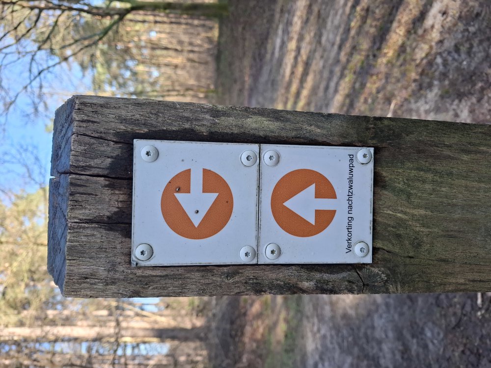
 signage
The route is fully signposted with thematic signs (no nodes).
© Jan Theunis
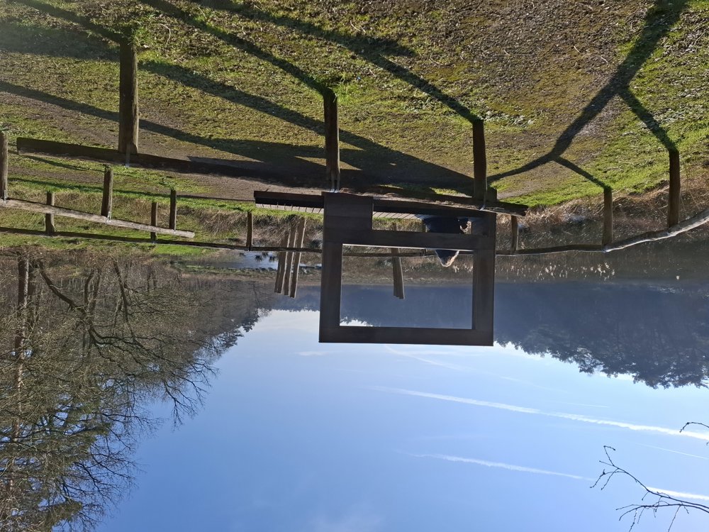
 Description
Parking: Swimming pool De Merel, Zwarte Spechtstraat Heppen.
Signage: Signposted path.
The beautiful “Nachtzwaluwpad” walk through the Gerheser forests is signposted with a white arrow on an orange background.
In some places, the paths are underwater, but there are side paths so you can still pass. The signage was perfect for 5 km, after which we didn't see a few signs. So use the GPS on a hiking app.
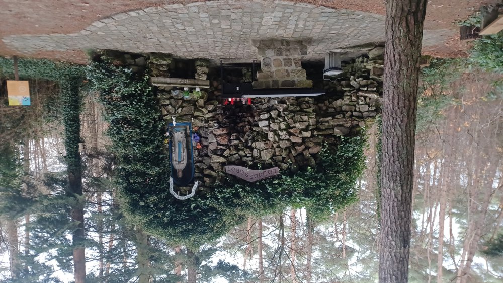
Attractions: Lourdes grotto (slightly deviate from the route)
Catering: Cafeteria De Merel
automatic translation
 nodes to follow
0 km
1.6 km
1.6 km
1.9 km
2.2 km

2.3 km
2.6 km
2.6 km
2.7 km
3.4 km
3.5 km
3.7 km
3.8 km
4.3 km
4.7 km
4.9 km
5.3 km
5.7 km
5.8 km
6 km
6.9 km
7.1 km
7.2 km
7.7 km


 Upgrade to Premium Plus
