Loading...

Zemst-Hombeek 12 km

automatic translation

12.4 km • Zemst

550 0 0/5

12.4 km 0.0 km 0.0 km
10 km
© OpenStreetMap contributors, Tracestrack

route offered by

Peter D'hont

Icon starting point Addresse starting point (approximate)

Hoogstraat 175, 1980 Zemst, BE

Icon type signage of route signage

The route is not signposted. Use a GPS device or our app to follow the route.

44.1 m 37.4 m 10.5 m 2.9 m These values indicate respectively the number of meters to rise, the highest and the lowest point in meters.
Atmosphere image 1 of route Zemst-Hombeek 12 km Atmosphere image 2 of route Zemst-Hombeek 12 km Atmosphere image 3 of route Zemst-Hombeek 12 km
© Peter D'hont

Icon description route Description

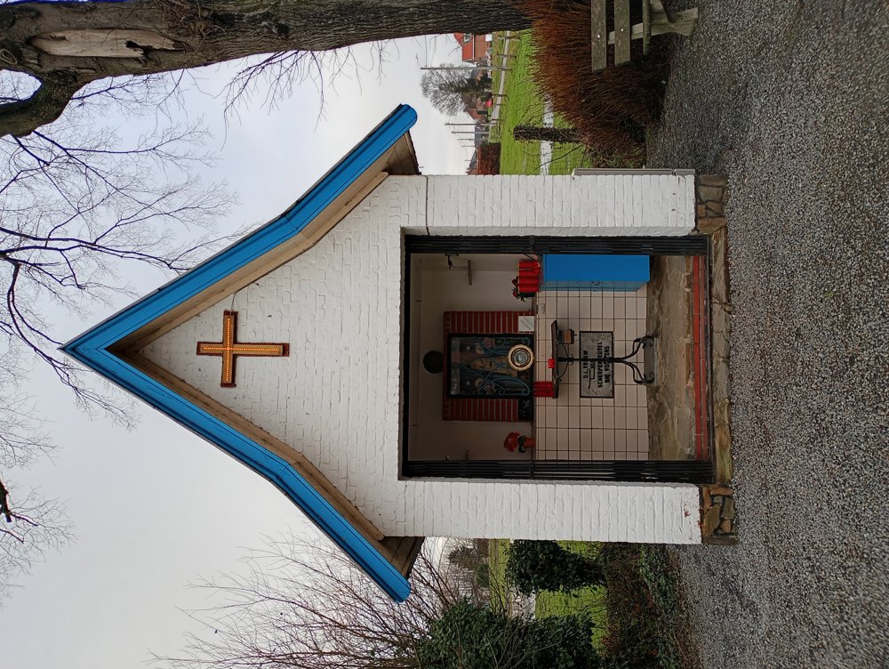
Departure: Stationsplein Hombeek

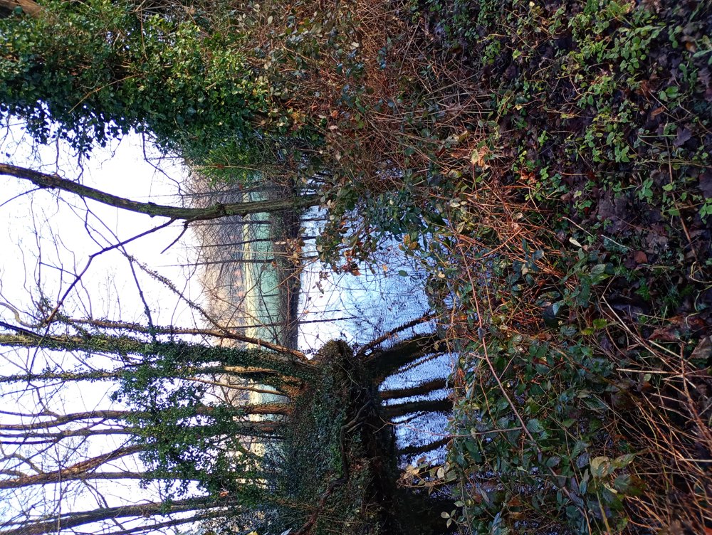
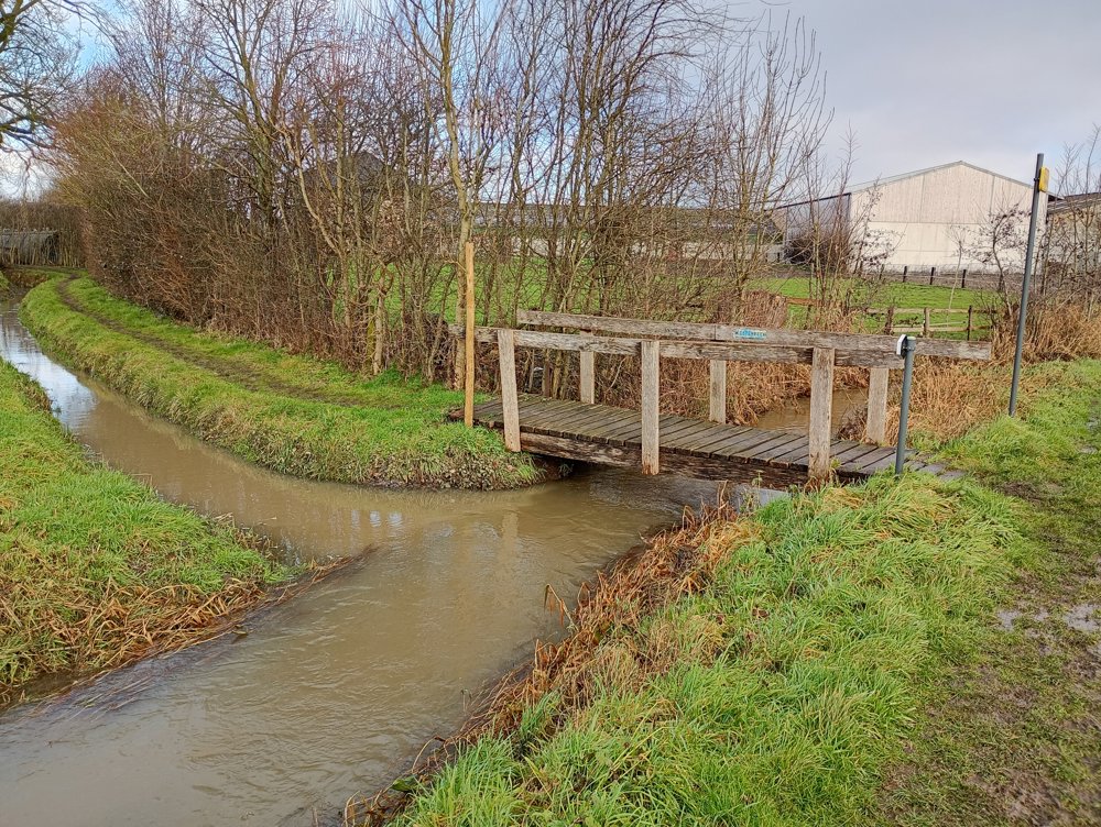
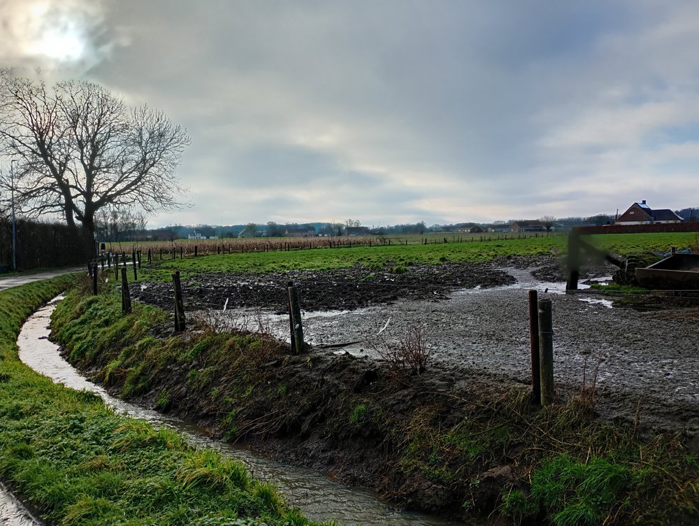
A walk along slow paths and along the water.
In rainy periods, good waterproof shoes are recommended.
No sanitary stop en route due to lack of horeca.

automatic translation

Icon nodes to follow nodes to follow

Image node 814
0 km
Image node 815
0.4 km
Image node 816
0.5 km
Image node 818
1 km
Icon deviation route
2.8 km
Icon deviation route
3.1 km
Icon deviation route
3.7 km
Icon deviation route
4.1 km
Icon deviation route
4.5 km
Icon deviation route
4.7 km
Icon deviation route
5.3 km
Icon deviation route
5.7 km
Icon deviation route
6.1 km
Icon deviation route
7.2 km
Icon deviation route
7.4 km
Icon deviation route
7.8 km
Icon deviation route
9.3 km
Icon deviation route
9.8 km
Icon deviation route
10.4 km
Icon deviation route
10.9 km
Icon deviation route
11.7 km
Icon stop route
12.4 km
This route does not have any reviews yet. Be the first!
Rate route!

Which POI do you want to show on the map?

Experimental hiking network
Unsigned icon

The route you have chosen runs (partly) along an experimental virtual hiking node network (the blue-coloured nodes and sections on the map).

You must be logged in to plan routes here.

Experimental hiking network
Unsigned icon

The route you have chosen runs (partly) along an experimental virtual hiking node network (the blue-coloured nodes and sections on the map).

These routes are not controlled in the field. Before you start hiking here, take a minute to read what an experimental hiking node network is and what rules you should follow when hiking here.

By clicking 'Accept all cookies,' you agree to the use of cookies for an enhanced user experience, website traffic analysis, and personalized advertisements. Cookie policy