Loading...

Hechtel-Eksel: Should There Be More Water?

automatic translation

11.5 km • Hechtel-Eksel

580 0 0/5

11.5 km 0.0 km 0.0 km
10 km
© OpenStreetMap contributors, Tracestrack

route offered by

Eddy & Rita

Icon starting point Addresse starting point (approximate)

Bosstraat 1, 3940 Hechtel-Eksel, BE

Icon type signage of route signage

The route is fully signposted with nodes.

71.1 m 75.6 m 72.6 m 50.6 m These values indicate respectively the number of meters to rise, the highest and the lowest point in meters.
Atmosphere image 1 of route Hechtel-Eksel: Should There Be More Water? Atmosphere image 2 of route Hechtel-Eksel: Should There Be More Water? Atmosphere image 3 of route Hechtel-Eksel: Should There Be More Water?
© Eddy & Rita

Icon description route Description

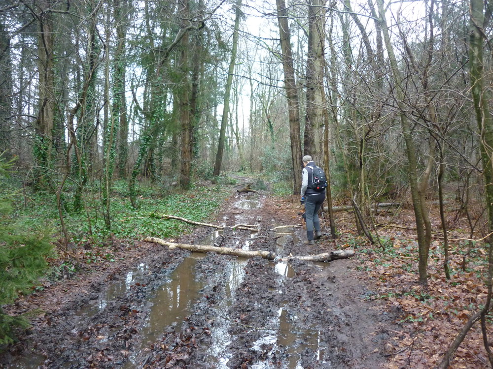
We did this walk on 26-01-2025.

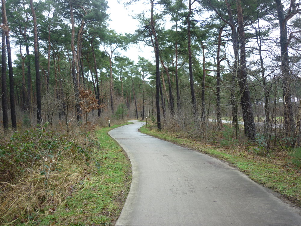
For navigation, it is best to take a map or GPS. Quite a few junctions are missing. The route itself is not very spectacular; it runs mostly through shady forests. An ideal summer walk, therefore.

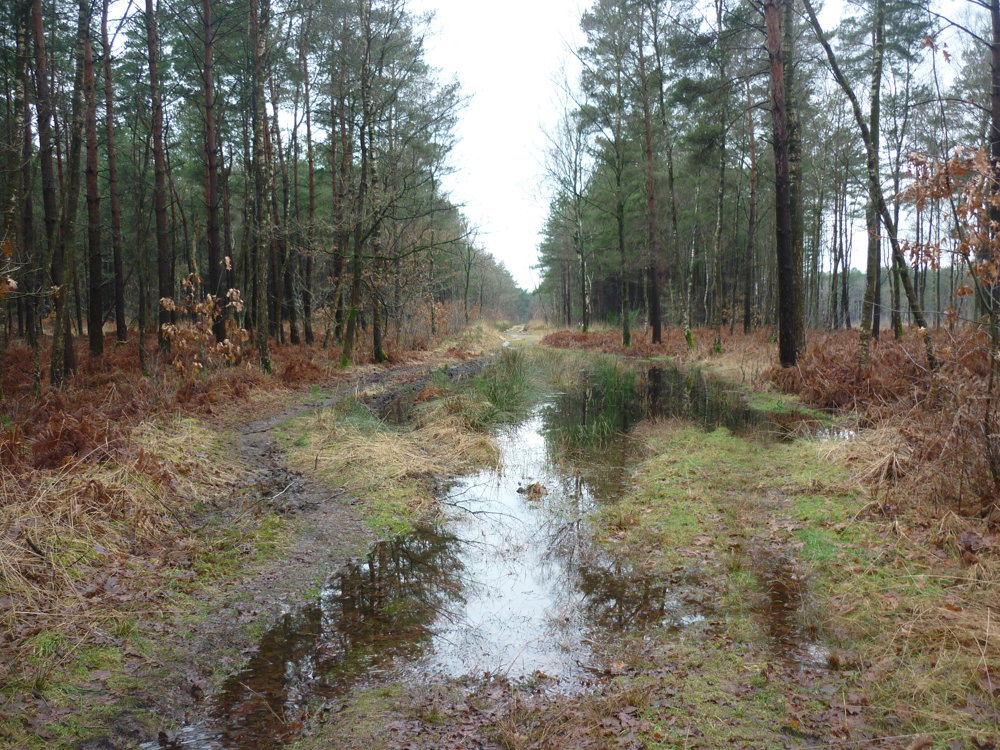
Nature itself had provided quite a spectacle. It had been raining for a while, and at night there was some more rain. The paths were quite wet. Call it waterlogging. It was a matter of stepping-jumping from one dry patch, over and alongside deep puddles, to another dry patch. Here and there, we also encountered some hard surface underfoot.

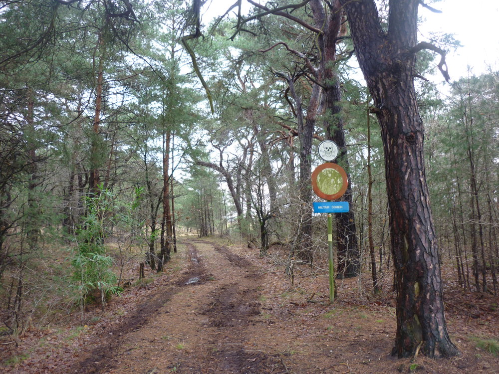
In the distance, we also heard the bangs from the shooting range at Hechtel-Eksel. We did not find it disturbing.

For us, it was thoroughly enjoying nature in all its aspects.

More photos: https://photos.app.goo.gl/Lm1v3Epv4Jp6j4p78

Happy walking,
Eddy, Rita, and Prinske

automatic translation

Icon nodes to follow nodes to follow

Image node 227
0 km
Image node 226
1.7 km
Image node 221
2 km
Image node 224
3.5 km
Image node 218
4.9 km
Image node 290
5.5 km
Image node 228
7.1 km
Image node 288
9.3 km
Image node 289
10.3 km
Image node 227
11.5 km
This route does not have any reviews yet. Be the first!
Rate route!

Which POI do you want to show on the map?

Experimental hiking network
Unsigned icon

The route you have chosen runs (partly) along an experimental virtual hiking node network (the blue-coloured nodes and sections on the map).

You must be logged in to plan routes here.

Experimental hiking network
Unsigned icon

The route you have chosen runs (partly) along an experimental virtual hiking node network (the blue-coloured nodes and sections on the map).

These routes are not controlled in the field. Before you start hiking here, take a minute to read what an experimental hiking node network is and what rules you should follow when hiking here.

By clicking 'Accept all cookies,' you agree to the use of cookies for an enhanced user experience, website traffic analysis, and personalized advertisements. Cookie policy