Loading...

From Boekt to the Mangelbeek Valley.

automatic translation

8.4 km • Heusden-Zolder

830 0 0/5

8.4 km 0.0 km 0.0 km

route offered by

Jan Theunis

Icon starting point Addresse starting point (approximate)

Hoogveld 24, 3550 Heusden-Zolder, BE

Icon type signage of route signage

The route is partially signposted with nodes. Use a GPS device or our app to follow the route.

5m 5m 5m 5m These values indicate respectively the number of meters to rise, the highest and the lowest point in meters.
© Jan Theunis

Icon description route Description

Parking: Boekt (Heusden-Zolder) Hoogveld, at the church.

Signage: Hiking app or GPS

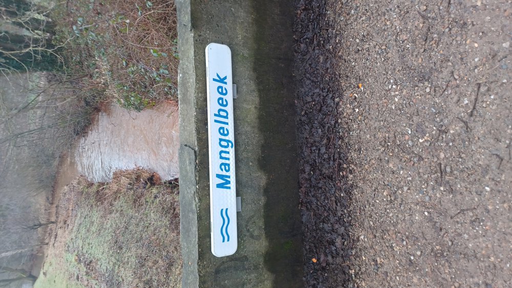
Hike in the new junction network "De Wijers".

The hike follows 5.5 km of the junction network, after which we deviated and followed our own route. Nice hike that also passes through the Mangelbeek Valley. The roads and paths were passable everywhere.

After 300 meters, turn right through the grass, the post is lying on the ground here due to roadworks.

Bench(es): None, nothing, only after 2.1 km there is a bus shelter.

automatic translation

Icon nodes to follow nodes to follow

Icon start route
0 km
Icon deviation route
0.1 km
Icon deviation route
0.2 km
Image node TP
0.5 km
Image node 28
0.9 km
Image node 62
2.1 km
Image node TP
3 km
Image node 61
3 km
Image node 63
3.9 km
Image node 104
4.4 km
Icon deviation route
5.8 km
Icon deviation route
6.3 km
Icon deviation route
6.6 km
Icon deviation route
6.9 km
Icon deviation route
7.5 km
Icon deviation route
7.8 km
Icon deviation route
8 km
Icon deviation route
8.1 km
Icon stop route
8.3 km
This route does not have any reviews yet. Be the first!
Rate route!

Which POI do you want to show on the map?

Experimental hiking network
Unsigned icon

The route you have chosen runs (partly) along an experimental virtual hiking node network (the blue-coloured nodes and sections on the map).

You must be logged in to plan routes here.

Experimental hiking network
Unsigned icon

The route you have chosen runs (partly) along an experimental virtual hiking node network (the blue-coloured nodes and sections on the map).

These routes are not controlled in the field. Before you start hiking here, take a minute to read what an experimental hiking node network is and what rules you should follow when hiking here.

By clicking 'Accept all cookies,' you agree to the use of cookies for an enhanced user experience, website traffic analysis, and personalized advertisements. Cookie policy