 Hiking
 Login
Login More
More EN
EN Premium
Houtvenne from Begijnendijk station (train?)
automatic translation
10.6 km • Begijnendijk
1350 0 0/5

 Addresse starting point (approximate)
Haltestraat 51, 3130 Begijnendijk, BE
 signage
The route is not signposted. Use a GPS device or our app to follow the route.
 Description
Park for free at the parking lot in Veldstraat or come by train.
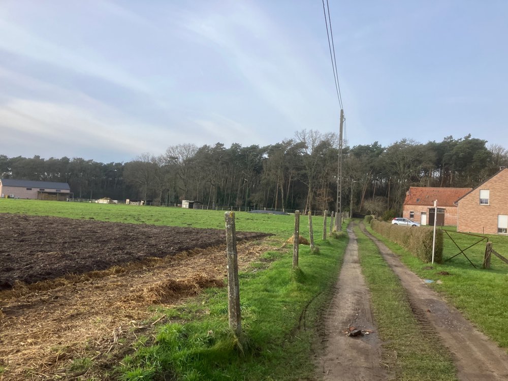
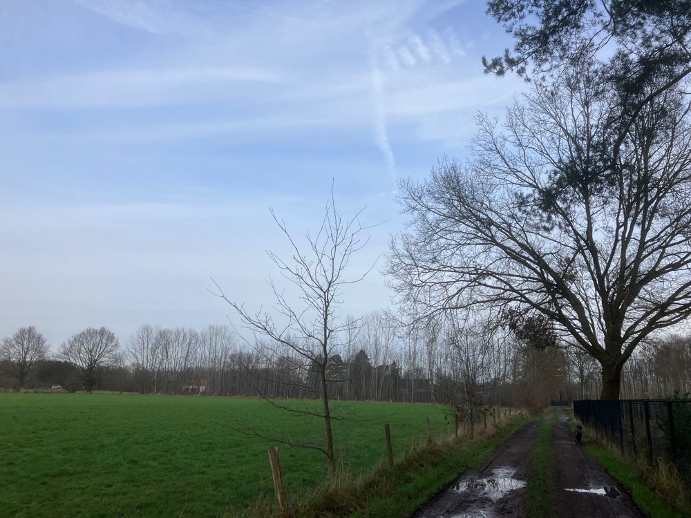
Don't expect a walk through vast nature reserves or large forests. Would you rather explore a village you vaguely know from driving by car or seeing on road signs? Then this walk along quiet roads (70%) and unpaved paths (30%) is a fun way.
The major connecting roads are avoided as much as possible, only crossed, to see which small hidden corners of nature, field paths, and farms might appeal to you. There may be more peace and greenery than initially thought, or not.
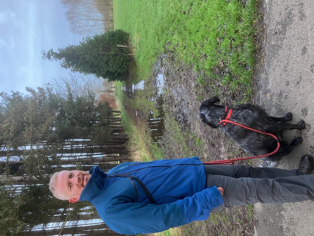
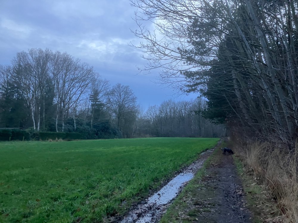
The Houtvenne, Herselt, and Oevel streams provide the inflow and outflow of water on this journey, making high walking shoes indispensable in wet periods. Dogs can come along (on a leash), but be aware that you'll pass various other animals, like horses, goats, sheep, etc. Those who pay attention might even spot a large aviary with bright red birds.
Dining options on the way only in Houtvenne with TC Lybo.
automatic translation


 Upgrade to Premium Plus
