Loading...

Heusden-Zolder Mine Dump

automatic translation

6.7 km • Heusden-Zolder

2690 0 0/5

6.7 km 0.0 km 0.0 km
10 km
© OpenStreetMap contributors, Tracestrack

route offered by

Jan Theunis

Icon starting point Addresse starting point (approximate)

Schansstraat 274, 3550 Heusden-Zolder, BE
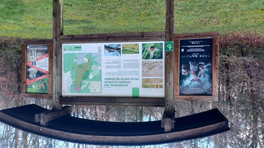
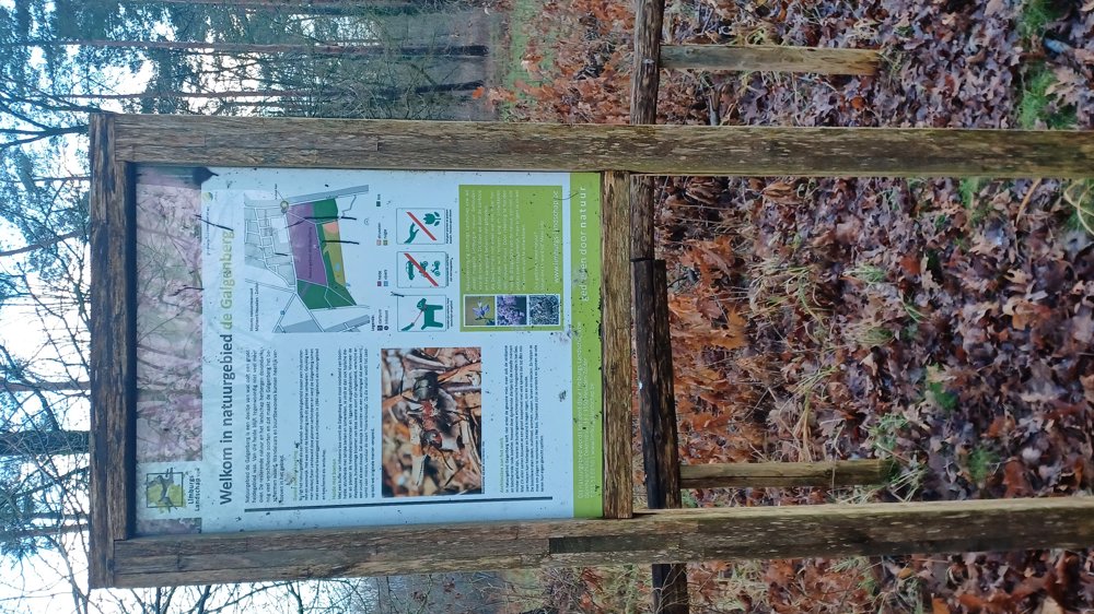
Icon type signage of route signage

The route is fully signposted with nodes.

91.9 m 105 m 144.7 m 54.5 m These values indicate respectively the number of meters to rise, the highest and the lowest point in meters.
Atmosphere image 1 of route Heusden-Zolder Mine Dump Atmosphere image 2 of route Heusden-Zolder Mine Dump Atmosphere image 3 of route Heusden-Zolder Mine Dump
© Jan Theunis

Icon description route Description

Parking: Mijnterril Parking, Halstraat Heusden-Zolder.

Signage: Junction points. Walk to the top of the terril and the Galgenberg. The walk is not long, but a bit of climbing is required at the beginning.

Rest benches: among others at 0.6/1.2/2.1/3.1/3.6 and 5.8 km.

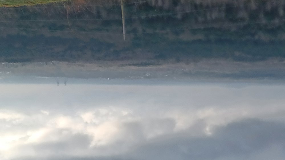
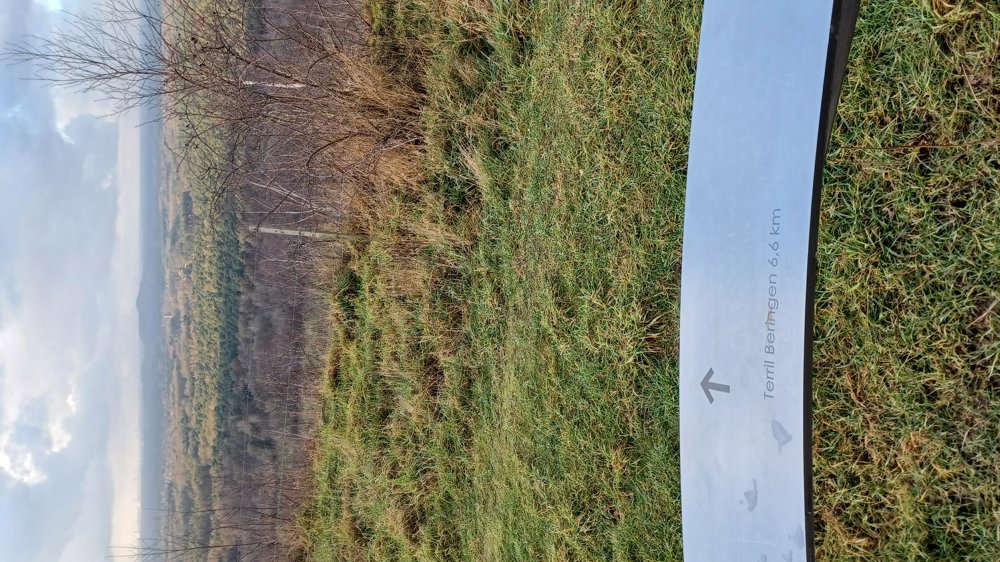
Attractions: Beautiful view of the terril and the water tower on the Galgenberg.

automatic translation

Icon nodes to follow nodes to follow

Image node 143
0 km
Image node TP
0.8 km
Image node TP
1.1 km
Image node TP
1.2 km
Image node TP
1.5 km
Image node TP
1.9 km
Image node TP
2.1 km
Image node TP
2.2 km
Image node TP
2.4 km
Image node TP
2.8 km
Image node 143
3.6 km
Image node 139
3.8 km
Image node 137
4.6 km
Image node 136
5.1 km
Image node 139
6.5 km
Image node 143
6.7 km
This route does not have any reviews yet. Be the first!
Rate route!

Which POI do you want to show on the map?

Experimental hiking network
Unsigned icon

The route you have chosen runs (partly) along an experimental virtual hiking node network (the blue-coloured nodes and sections on the map).

You must be logged in to plan routes here.

Experimental hiking network
Unsigned icon

The route you have chosen runs (partly) along an experimental virtual hiking node network (the blue-coloured nodes and sections on the map).

These routes are not controlled in the field. Before you start hiking here, take a minute to read what an experimental hiking node network is and what rules you should follow when hiking here.