 Hiking
 Login
Login More
More EN
EN Premium
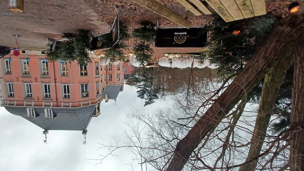
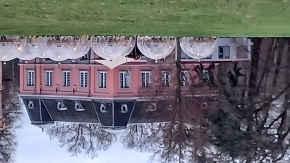
Castle Meylandt
automatic translation
7.6 km • Heusden-Zolder
5410 0 0/5

 Addresse starting point (approximate)
Meylandtlaan 20, 3550 Heusden-Zolder, BE
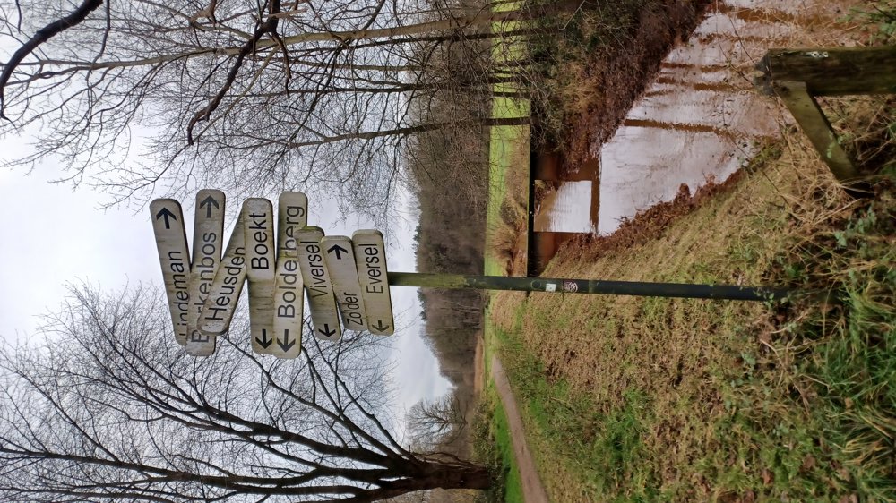
 signage
The route is fully signposted with nodes.
 Description
Parking: Meylandtlaan 41, Heusden-Zolder (Castle Meylandt)
Signposting: Junctions or NodeMapp app.
Junctions are still in an experimental phase and are currently being tested, but the numbers for this walk are correctly indicated. Start at the beautiful Castle Meylandt following the numbers 27-26-24-23-21-20-22-61-62-28-27.
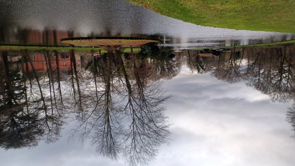
You walk mostly in the tranquil Mangelbeek Valley, where the paths are paved with gravel and are easy to walk.
Rest benches: approx. 1.1 / 1.8 / 4.3 and 8.1 km.
Points of interest: Castle Meylandt.
Catering: Blokhut Meylandt (by the fishing ponds).
automatic translation
 nodes to follow
0 km
0.6 km
1.1 km
1.5 km
2.2 km
4.6 km
4.6 km
4.6 km
5.5 km
6.7 km
7.6 km


 Upgrade to Premium Plus
