Loading...

Basvelden Zonhoven

automatic translation

5.4 km • Zonhoven

2210 0 0/5

5.4 km 0.0 km 0.0 km
10 km
© OpenStreetMap contributors, Tracestrack

route offered by

Jan Theunis

Icon starting point Addresse starting point (approximate)

Kleebergweg 26, 3520 Zonhoven, BE
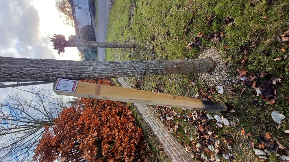
Icon type signage of route signage

The route is fully signposted with nodes.

12.4 m 15.1 m 49.3 m 42.4 m These values indicate respectively the number of meters to rise, the highest and the lowest point in meters.
Atmosphere image 1 of route Basvelden Zonhoven Atmosphere image 2 of route Basvelden Zonhoven
© Jan Theunis

Icon description route Description

Parking: Kleebergweg Zonhoven (Basvelden)

Signposting: Junctions. Junctions are still in an experimental phase, but everything is perfectly signposted.

After 800 m at the padel courts, it was a bit unclear, but you just need to walk straight ahead, over the Finnish track. You walk mostly on regular (low-traffic) roads.

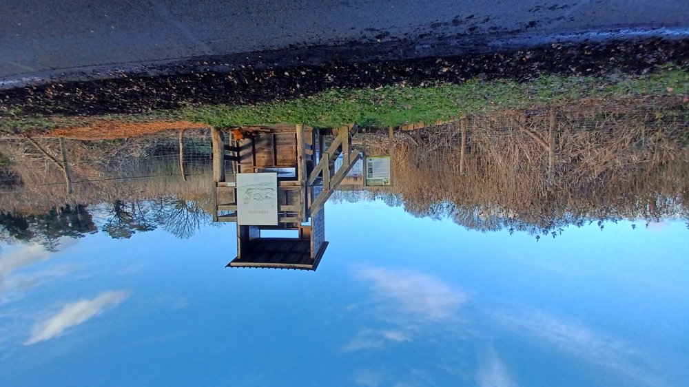
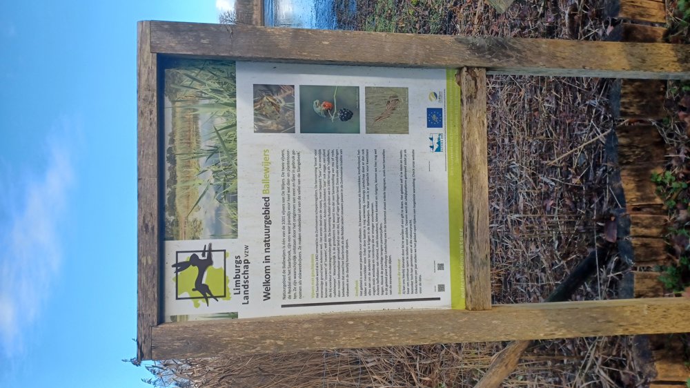
You pass the viewing platform of the Ballewijers nature reserve after 1.9 km.

automatic translation

This route does not have any reviews yet. Be the first!
Rate route!

Which POI do you want to show on the map?

Experimental hiking network
Unsigned icon

The route you have chosen runs (partly) along an experimental virtual hiking node network (the blue-coloured nodes and sections on the map).

You must be logged in to plan routes here.

Experimental hiking network
Unsigned icon

The route you have chosen runs (partly) along an experimental virtual hiking node network (the blue-coloured nodes and sections on the map).

These routes are not controlled in the field. Before you start hiking here, take a minute to read what an experimental hiking node network is and what rules you should follow when hiking here.

By clicking 'Accept all cookies,' you agree to the use of cookies for an enhanced user experience, website traffic analysis, and personalized advertisements. Cookie policy