 Hiking
 Login
Login More
More EN
EN Premium
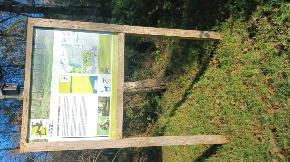
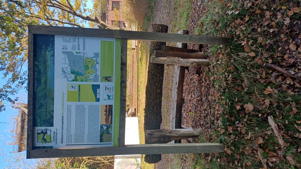
Nature Areas Kolveren and Laambroek Ponds
automatic translation
7.6 km • Zonhoven
3060 0 0/5

 Addresse starting point (approximate)
Eikenenweg 43, 3520 Zonhoven, BE
 signage
The route is partially signposted with nodes. Use a GPS device or our app to follow the route.
 Description
Parking: behind the chapel Ten Eikenen, Bruinstraat Zonhoven.
Signposting: Junctions & NodeMapp App/GPS.
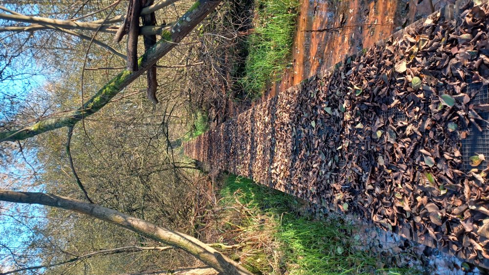
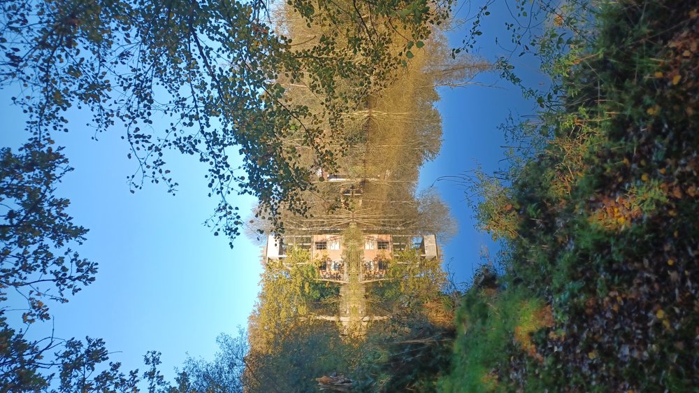
You quickly leave the paved road and walk to the Kolveren nature reserve with a very beautiful section along the Laambeek. Then you go under the E314 and enter the Laambroekvijvers nature reserve. It's a nice walk with one drawback, the noise of the E314, especially in the first part. But don't let that stop you, and maybe do the walk on a Sunday, when it's hopefully a bit quieter. In some parts, it's fairly wet, so good shoes are a must.
Follow the junctions 75-74-72-71-70. Then take the road parallel to the railway track and follow that for 800 m. Then go left towards the benches and continue over the bike path until you pass under the E314. Then you follow back 72-73-75.
Rest benches: amongst others at 2.3/3.2/5.2 and 6.1 km.
automatic translation
 nodes to follow
0 km
0.1 km
2.2 km
3.6 km

3.9 km
4.2 km
4.3 km
4.3 km
4.5 km
4.8 km
5.2 km
5.7 km
6.2 km
7.6 km


 Upgrade to Premium Plus
