 Hiking
 Login
Login More
More EN
EN Premium
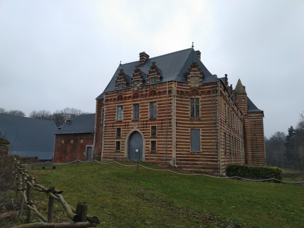
Castle of Heers
automatic translation
2.5 km • Heers
1081 1 4/5
2.5 km
0.0 km
0.0 km
10 km
© OpenStreetMap contributors, Tracestrack

 Addresse starting point (approximate)
Nieuwe Steenweg 55, 3870 Heers, BE
 signage
The route is fully signposted with thematic signs (no nodes).
© Jan Theunis
 Description
Parking: Nieuwe Steenweg in Heers.
Signage: Blue arrow.
The short walk takes you along the beautiful castle of Heers and through the castle park. It continues through the fields and the built-up area of Heers.
We combined this walk with the orange walk in Vorsen (4.2 km), the blue walk in Gelinden (5.1 km), and the red in Lauw (6.3 km). Together 18.2 km of walking pleasure. You can also find these walks on NodeMapp.
Benches: e.g. at 0.8/1.3 and 1.7 km.
automatic translation
 nodes to follow
0 km
0.2 km
0.5 km

0.6 km
0.6 km
0.7 km
0.8 km
0.9 km
1 km
1.1 km
1.2 km
1.3 km
1.4 km
1.7 km
2.4 km

2.5 km


 Upgrade to Premium Plus
