 Hiking
 Login
Login More
More EN
EN Premium
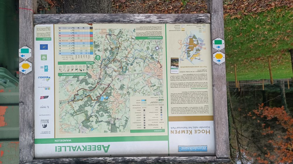
Through the Abeek Valley
automatic translation
8.3 km • Oudsbergen
1872 0 0/5
8.3 km
0.0 km
0.0 km
10 km
© OpenStreetMap contributors, Tracestrack

 Addresse starting point (approximate)
Betonweg 7B, 3670 Meeuwen-Gruitrode, BE
 signage
The route is not signposted. Use a GPS device or our app to follow the route through the virtual nodes.
© Jan Theunis
 Description
Parking: Ellikom Cemetery
Signage: Virtual nodes = Hiking app or GPS.
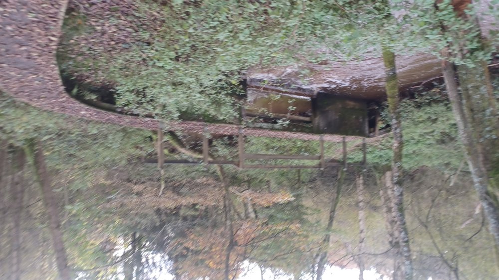
You walk through the Abeek Valley twice. Nice walk in the rural Ellikom.
Rest bench(es): among others at 0.9/2.2/4.3/6 and 7.7 km
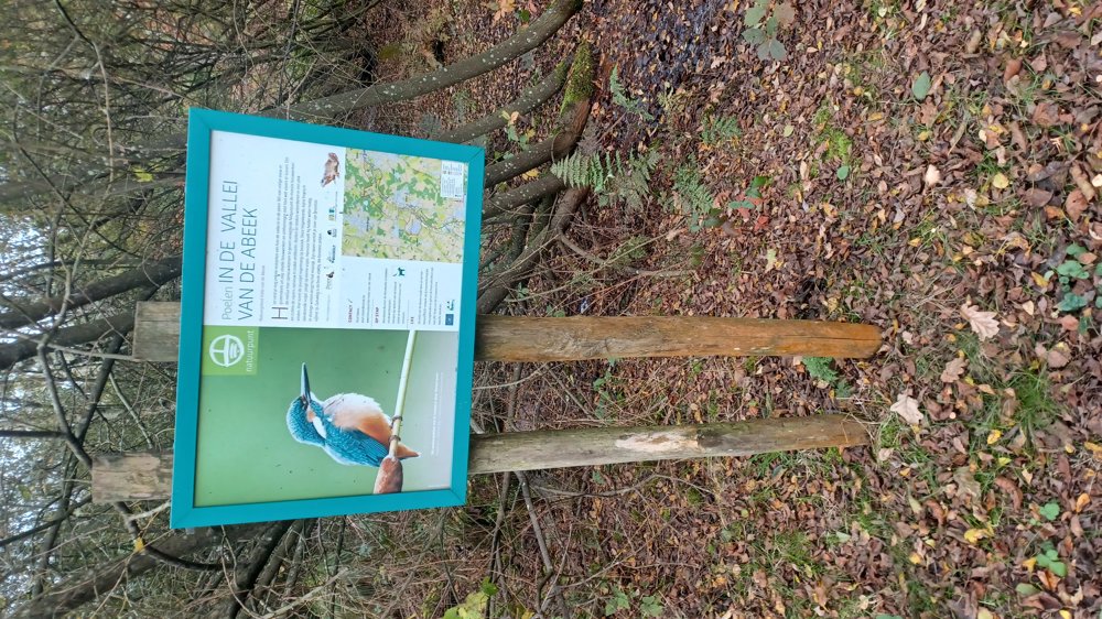
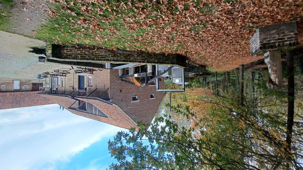
Sights: Site Olieslagmolen / The Hoogmolen.
automatic translation
 nodes to follow
0 km

0.1 km
0.8 km
1.3 km
2.2 km
3.1 km
3.6 km
4.3 km
4.4 km
4.9 km
5.2 km
5.7 km
6 km
6.4 km
7 km
7.5 km
7.6 km
7.8 km
8.1 km

8.3 km


 Upgrade to Premium Plus
