Loading...

Through the Mangelbeek Valley

automatic translation

8.3 km • Houthalen-Helchteren

2711 0 0/5

8.3 km 0.0 km 0.0 km
10 km
© OpenStreetMap contributors, Tracestrack

route offered by

Jan Theunis

Icon starting point Addresse starting point (approximate)

Maastrichtsestraat 29, 3530 Houthalen-Helchteren, BE

Icon type signage of route signage

The route is fully signposted with nodes.

32.8 m 45.8 m 83.1 m 58.6 m These values indicate respectively the number of meters to rise, the highest and the lowest point in meters.
Atmosphere image 1 of route Through the Mangelbeek Valley
© Jan Theunis

Icon description route Description

Parking: Helchteren Cemetery, Maastrichtsestraat.

Signposting: Junctions.
Follow the junctions 128-127-124-122-129-50-52-130-128. You will find the first junction when you stand with your back to the cemetery and then set off to the right, or better yet, use the walking junctions app to always head in the right direction. You need to walk for 5 minutes along the busy Grote Baan, but after that it mostly goes through forests and fields.

Between km 1.2 and 3.2, there are many muddy sections. Good walking shoes are recommended.

Rest benches: among others at 3.6/6.7 and 7.7 km.

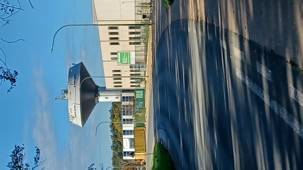
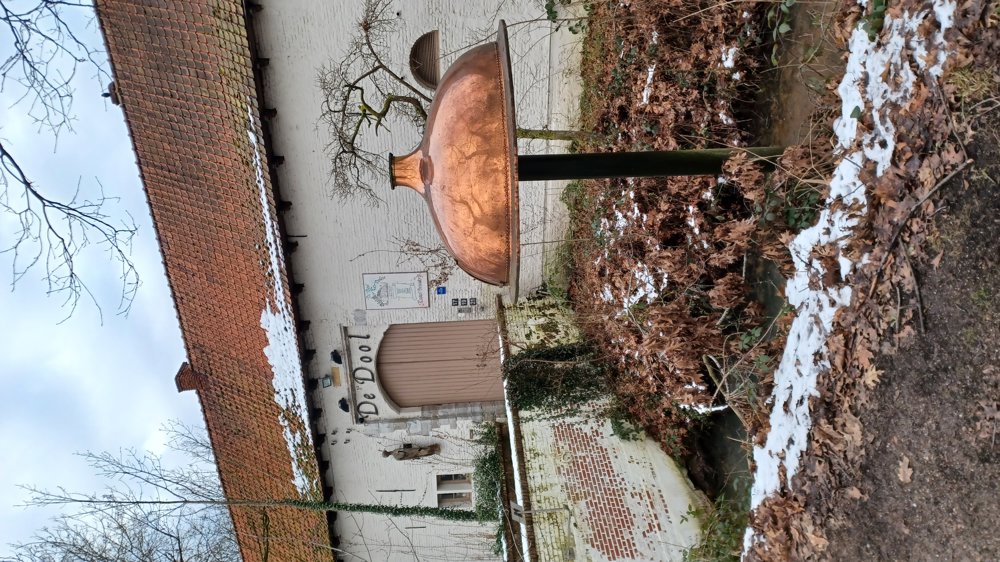
Sights: Ter Dolen Castle.

automatic translation

Icon nodes to follow nodes to follow

Image node 128
0 km
Image node 127
1.3 km
Image node 124
1.8 km
Image node 122
2.8 km
Image node 129
3.3 km
Image node 50
4 km
Image node 52
6.7 km
Image node 130
7.8 km
Image node 128
8.3 km
This route does not have any reviews yet. Be the first!
Rate route!

Which POI do you want to show on the map?

Experimental hiking network
Unsigned icon

The route you have chosen runs (partly) along an experimental virtual hiking node network (the blue-coloured nodes and sections on the map).

You must be logged in to plan routes here.

Experimental hiking network
Unsigned icon

The route you have chosen runs (partly) along an experimental virtual hiking node network (the blue-coloured nodes and sections on the map).

These routes are not controlled in the field. Before you start hiking here, take a minute to read what an experimental hiking node network is and what rules you should follow when hiking here.

By clicking 'Accept all cookies,' you agree to the use of cookies for an enhanced user experience, website traffic analysis, and personalized advertisements. Cookie policy