 Hiking
 Login
Login More
More EN
EN Premium
Bokrijk: red triangle
automatic translation
12 km • Hasselt
3373 0 0/5

 Addresse starting point (approximate)
Paalvennestraat 10, 3500 Hasselt, BE
 signage
The route is fully signposted with thematic signs (no nodes).
 Description
Marker: Red Triangle
This is a beautiful, varied, locally signposted route. The signage can be followed in two directions. We chose to start the route counterclockwise, and that proved to be a good choice.
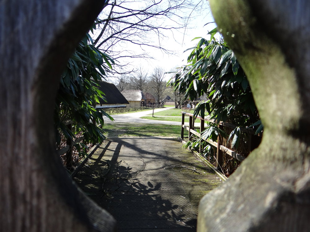
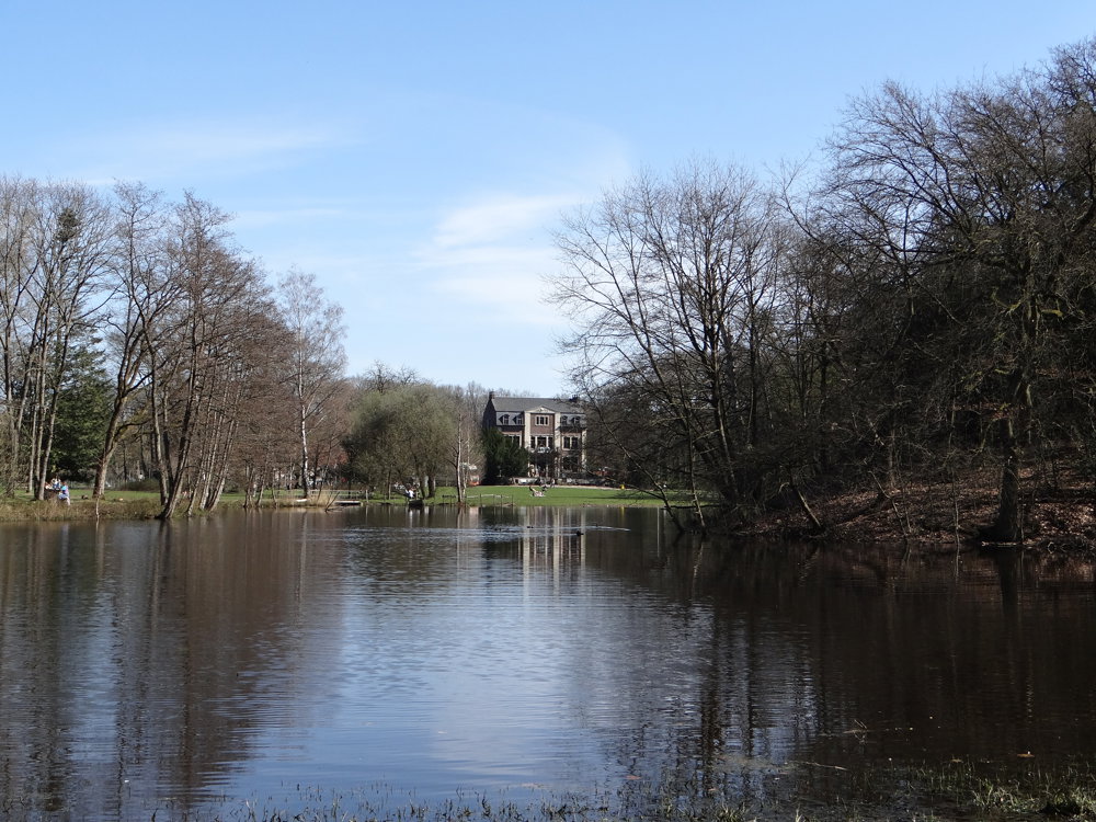
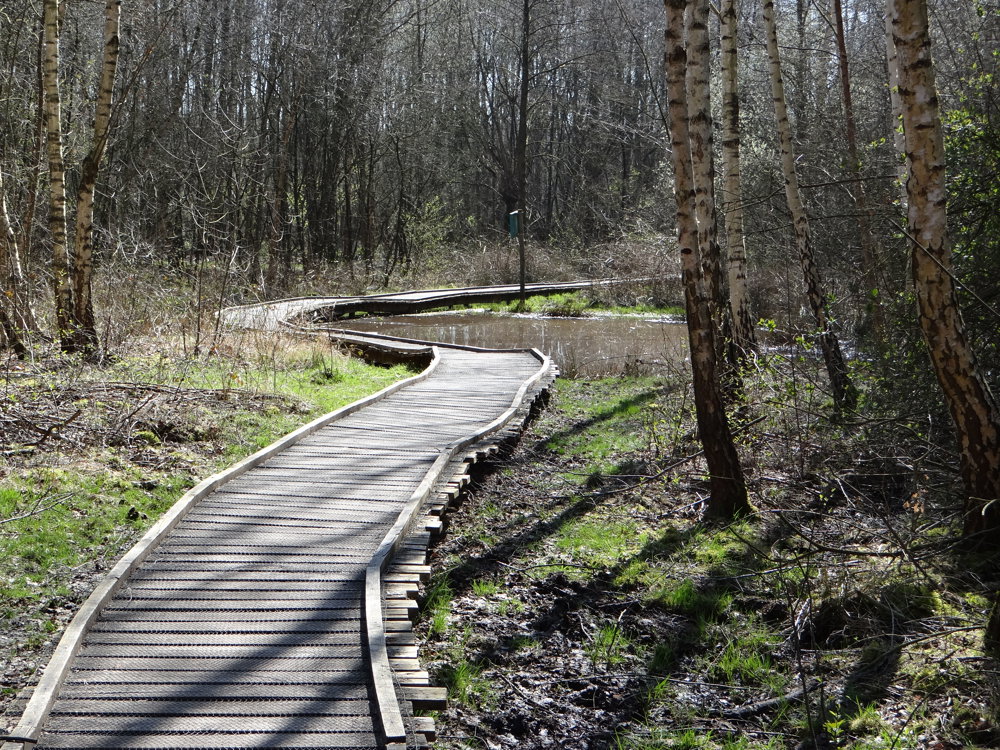
At the beginning, one encounters quite a few paved roads, but somewhere halfway, that decreases and one mostly walks on unpaved paths and boardwalks. One also gets a nice view from the sidelines of the open-air museum Bokrijk. The beautiful castle is also worth a photo opportunity.
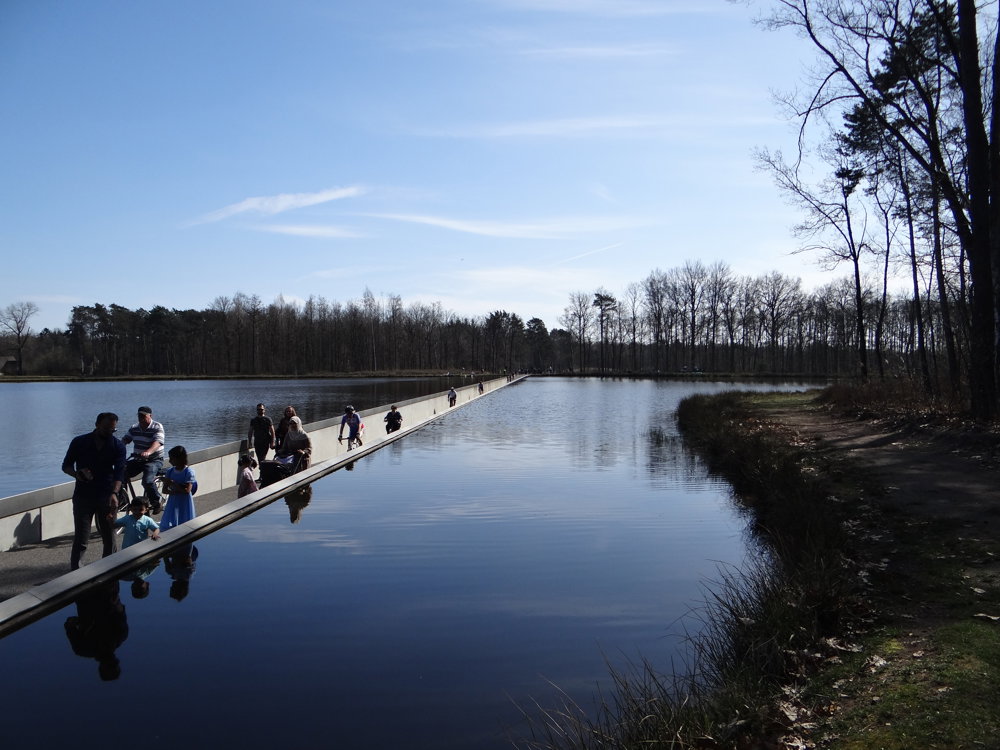
The walk also goes through the water. Come face to face with a waterbird!
More photos: https://photos.app.goo.gl/e5N8o38AuujYjx9U7
Happy hiking,
Eddy, Rita, and Prinske
automatic translation


 Upgrade to Premium Plus
