Loading...

Begijnendijk nice walk along lake and forest

automatic translation

8.2 km • Begijnendijk

3350 0 0/5

8.2 km 0.0 km 0.0 km
10 km
© OpenStreetMap contributors, Tracestrack

route offered by

Peter D'hont

Icon starting point Addresse starting point (approximate)

Betekomsesteenweg 1, 3130 Begijnendijk, BE

Icon type signage of route signage

The route is fully signposted with nodes.

55.8 m 35.2 m 46.4 m 9.9 m These values indicate respectively the number of meters to rise, the highest and the lowest point in meters.
Atmosphere image 1 of route Begijnendijk nice walk along lake and forest Atmosphere image 2 of route Begijnendijk nice walk along lake and forest Atmosphere image 3 of route Begijnendijk nice walk along lake and forest
© Peter D'hont

Icon description route Description

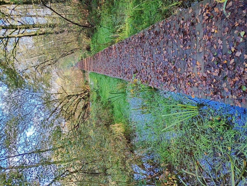
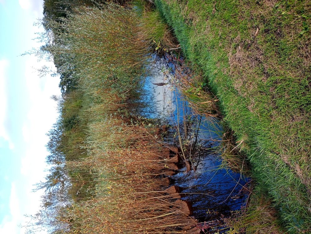
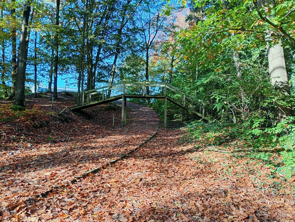
Short walk on quiet streets and partly on unpaved roads.

However, the unpaved parts are beautiful, especially in the fall. We walk through quiet residential areas and take slow roads into a wooded area with also boardwalks over and between the ponds.

The unpaved parts are very muddy in rainy periods, but it is worth risking wet feet.

automatic translation

Icon nodes to follow nodes to follow

Icon start route
0 km
Icon deviation route
1 km
Icon deviation route
1.5 km
Icon deviation route
2 km
Icon deviation route
2.8 km
Icon deviation route
3.3 km
Icon deviation route
3.8 km
Icon deviation route
3.9 km
Icon deviation route
4.1 km
Icon deviation route
4.2 km
Icon deviation route
4.6 km
Icon deviation route
4.7 km
Icon deviation route
4.9 km
Icon deviation route
5.3 km
Icon deviation route
6.2 km
Icon deviation route
6.8 km
Icon deviation route
7.2 km
Icon deviation route
7.6 km
Icon deviation route
7.9 km
Image node 8
8.3 km
This route does not have any reviews yet. Be the first!
Rate route!

Which POI do you want to show on the map?

Experimental hiking network
Unsigned icon

The route you have chosen runs (partly) along an experimental virtual hiking node network (the blue-coloured nodes and sections on the map).

You must be logged in to plan routes here.

Experimental hiking network
Unsigned icon

The route you have chosen runs (partly) along an experimental virtual hiking node network (the blue-coloured nodes and sections on the map).

These routes are not controlled in the field. Before you start hiking here, take a minute to read what an experimental hiking node network is and what rules you should follow when hiking here.

By clicking 'Accept all cookies,' you agree to the use of cookies for an enhanced user experience, website traffic analysis, and personalized advertisements. Cookie policy