 Hiking
 Login
Login More
More EN
EN Premium
Averbode <> Schoterheide
automatic translation
15.1 km • Scherpenheuvel-Zichem
2532 0 0/5
15.1 km
0.0 km
0.0 km
10 km
© OpenStreetMap contributors, Tracestrack

 Addresse starting point (approximate)
Abdijstraat 1, 3271 Scherpenheuvel-Zichem, BE
 signage
The route is fully signposted with nodes.
© Eddy & Rita
 Description
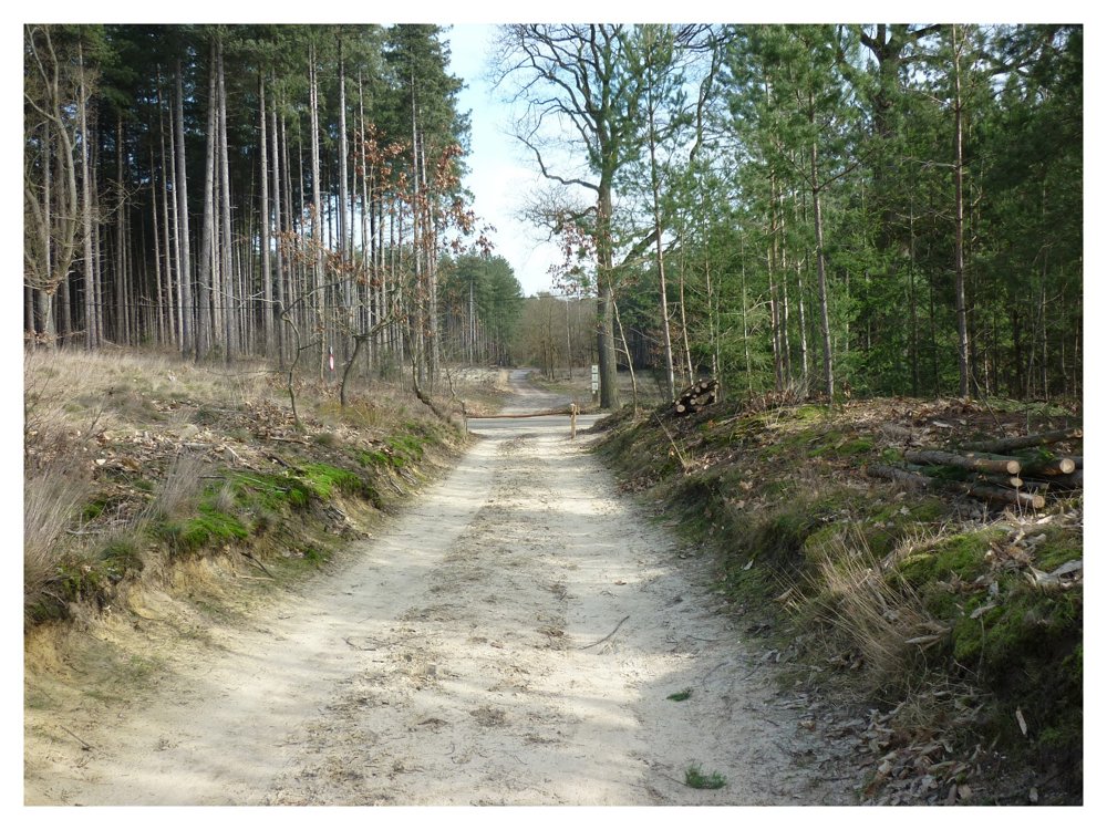
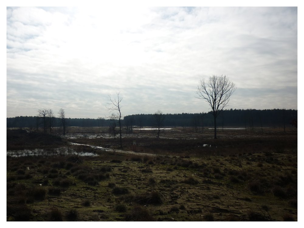
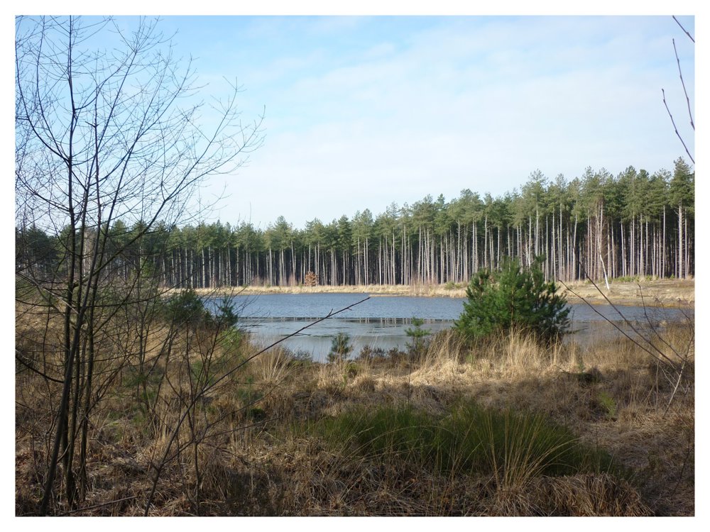
This route, which starts at the Abbey of Averbode, goes almost entirely through the beautiful nature reserves of Averbode Bos en Heide and Pinnekensweier.
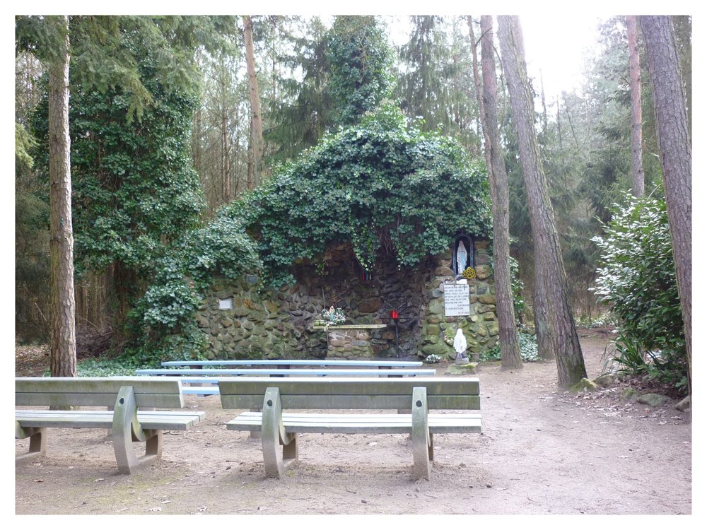
Between junction points 299 and 297, one passes by the Lourdes grotto of Schoterheide. This beautiful grotto is located at the end of a long avenue in the woods of the Terhagen nature reserve in the hamlet of Schoot.
More photos: https://photos.app.goo.gl/2CYEvmskVqRaDSpq8
Happy hiking,
Eddy, Rita, and Prinske
automatic translation
 nodes to follow
0 km
0.6 km
0.7 km
0.9 km
1 km
1.7 km
2.3 km
2.5 km
3 km
4.9 km
5.2 km
6.1 km
6.5 km
7.1 km
7.7 km
8.1 km
8.8 km
8.9 km
9.2 km
9.8 km
10.5 km
11.4 km
12.4 km
12.5 km
12.7 km
13.1 km
13.3 km
14.4 km
14.8 km
15.1 km


 Upgrade to Premium Plus
