 Hiking
 Login
Login More
More EN
EN Premium
Gerhees: Gerheserheide
automatic translation
5.1 km • Ham
4381 1 3/5

 Addresse starting point (approximate)
Boskant 52, 3945 Ham, BE
 signage
The route is fully signposted with nodes.
 Description
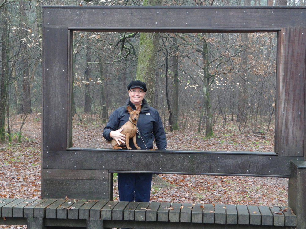
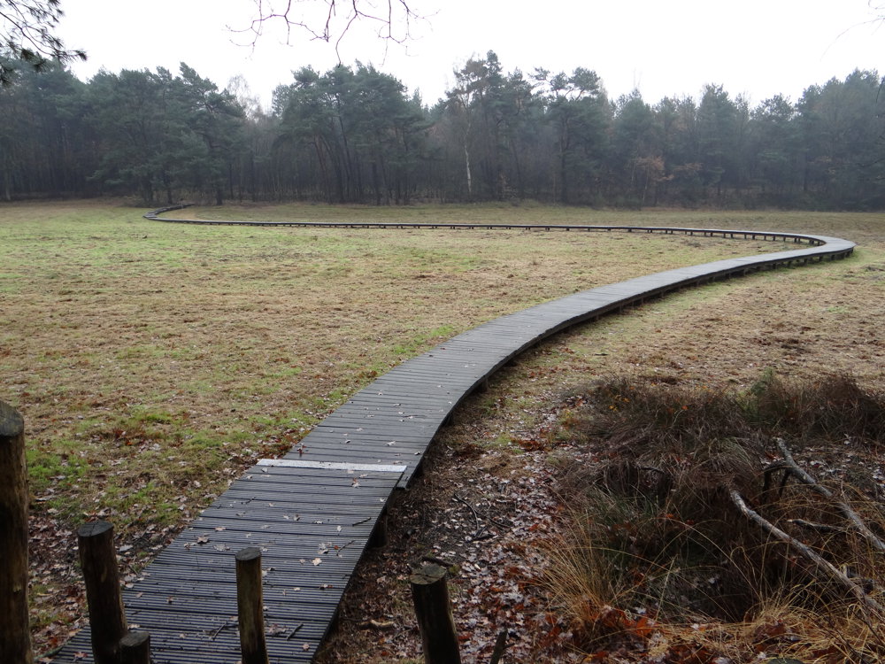
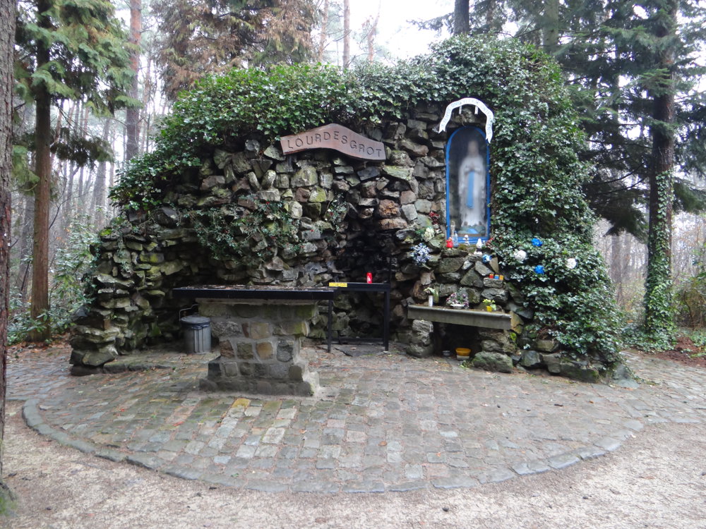
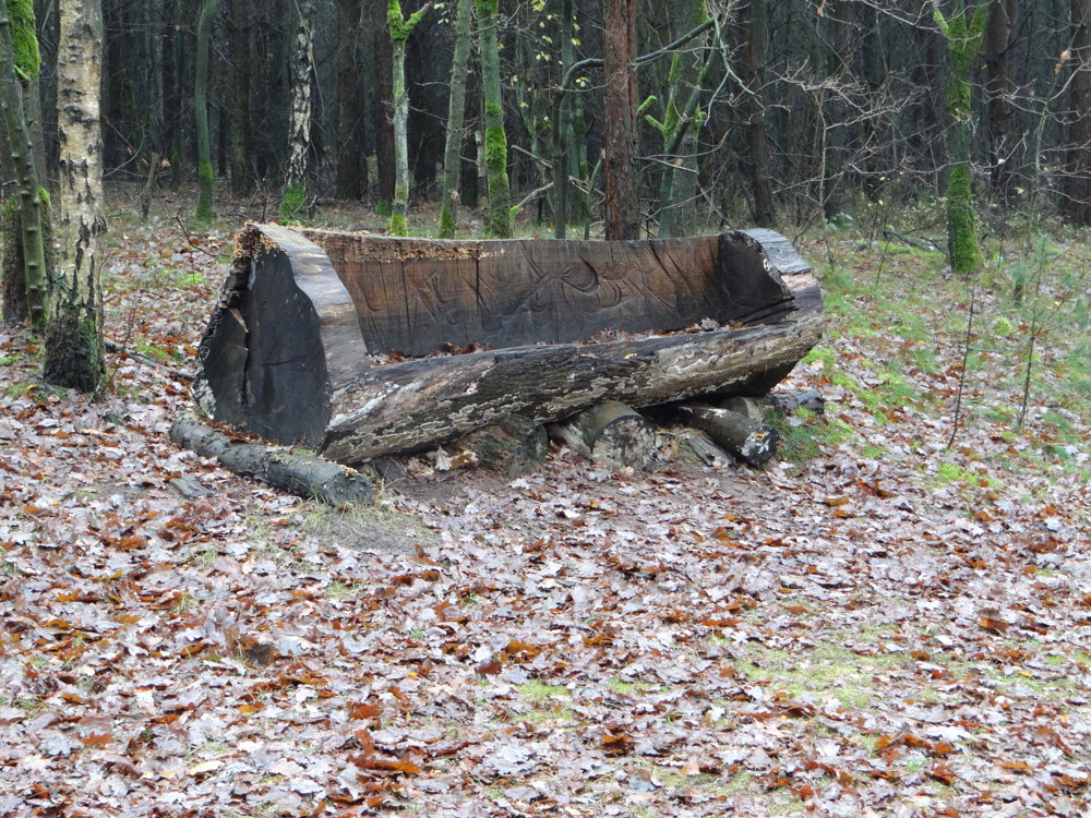
This is a short but very beautiful walk through the Gerheserheide and forests.
The Gerheserheide is a nature reserve located in the municipalities of Ham and Leopoldsburg. You walk here through dunes covered with pine forests, crisscrossed by sandy paths. Natuurpunt has restored a part of the heathland here for the mysterious nightjar.
More photos: https://photos.app.goo.gl/i4QhGk7VkL0JcfC42
Happy hiking,
Eddy, Rita, and Prinske
automatic translation
 nodes to follow
0 km
0.4 km
0.8 km
1.7 km
3.3 km
3.9 km
4 km
4.2 km
4.4 km
5.1 km
Sunday, December 1, 2024 by Christa HermansNice route. The best part is between node 50 and 11: The Schans of Gerhees. In this area they use a different type of signage for the nodes. I didn't find the signs at first until I saw that they have a different color. That takes some getting used to. This route goes mainly through a wooded area.
automatic translation


 Upgrade to Premium Plus
