Loading...

Averbode Forest & Heath

automatic translation

13 km • Tessenderlo

120 0 0/5

13 km 0.0 km 0.0 km

route offered by

Eddy & Rita

Icon starting point Addresse starting point (approximate)

Schoterheide 18, 3980 Tessenderlo, BE

Icon type signage of route signage

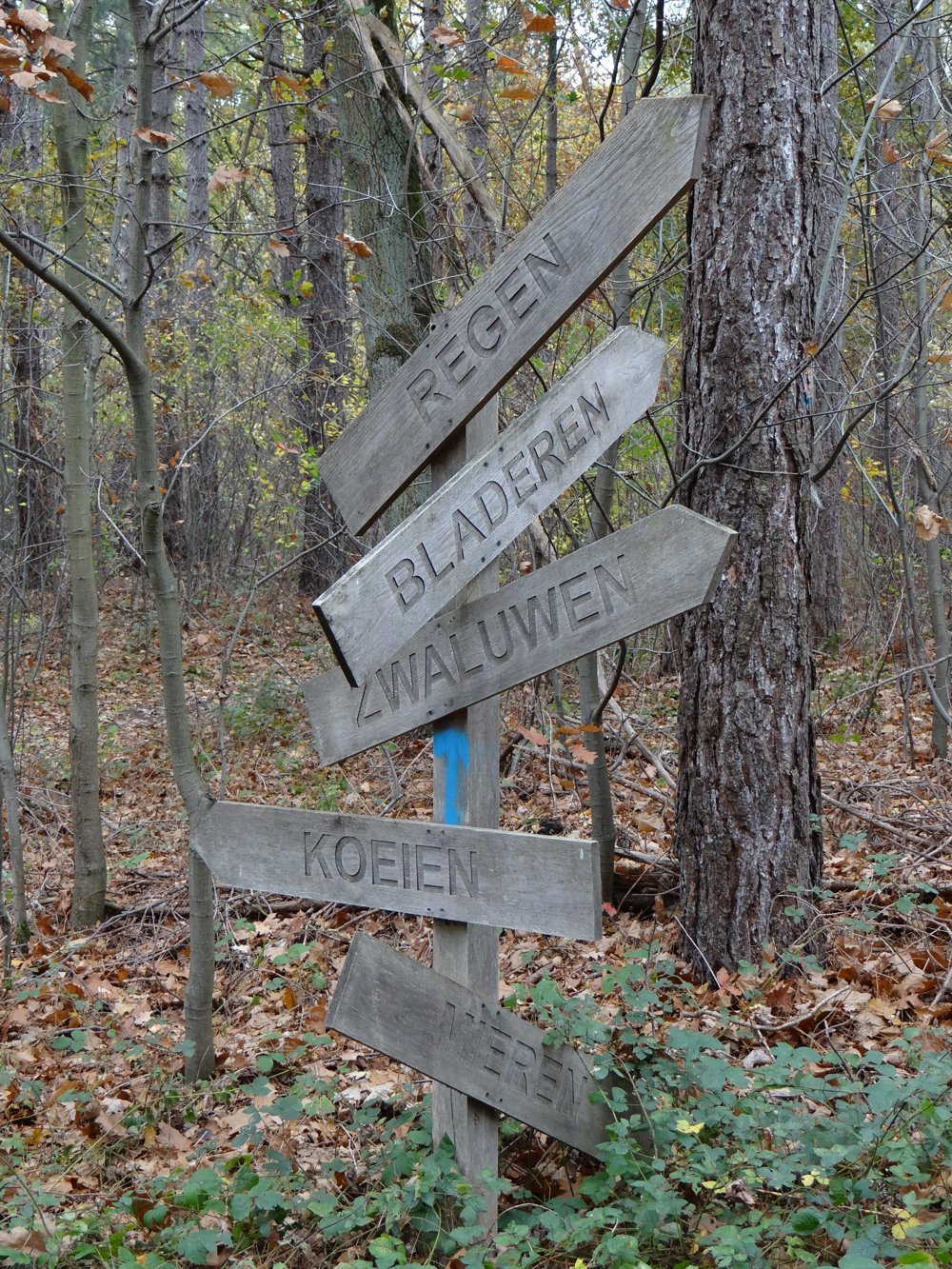
The route is fully signposted with nodes.

5m 5m 5m 5m
Atmosphere image 1 of route Averbode Forest & Heath Atmosphere image 2 of route Averbode Forest & Heath Atmosphere image 3 of route Averbode Forest & Heath
© Eddy & Rita

Icon description route Description

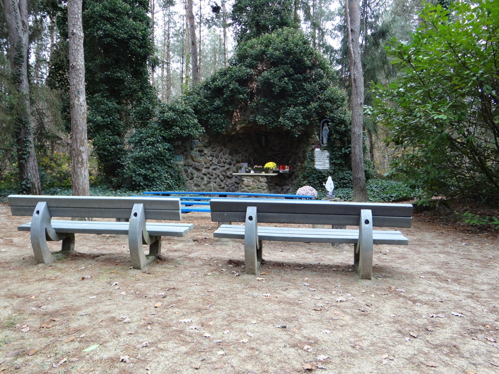
Beautiful network trails hike that starts at the Lourdes grotto in Schoterheide, Tessenderlo.

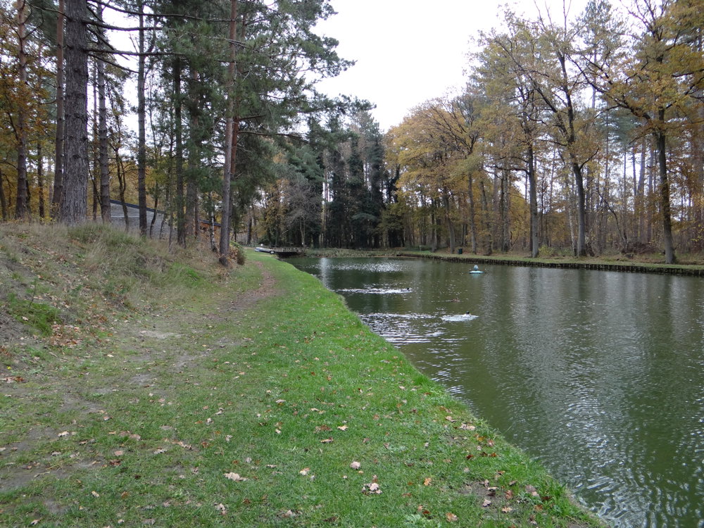
After a short approach route, the loop walk begins, which mainly goes through forests. One first walks through the nature reserve Gerhagen and then through the area Averbode Bos en Heide to enjoy alternating forest and heathland.

The hike does not pass by the Abbey of Averbode, but one can still enjoy beautiful views of the abbey and its surroundings from a distance.

More photos: https://photos.app.goo.gl/kt7JpgEgzudqYtgT6
Enjoy this walk,
Eddy, Rita, and Prinske

automatic translation

Icon nodes to follow nodes to follow

Image node 297
0 km
Image node 299
0.3 km
Image node 69
2.2 km
Image node 70
2.7 km
Image node 70
2.9 km
Image node 205
3.4 km
Image node 79
4.2 km
Image node 81
5 km
Image node 251
5.7 km
Image node 273
6.2 km
Image node 279
6.5 km
Image node 84
7.2 km
Image node 85
7.6 km
Image node 86
7.8 km
Image node 75
7.9 km
Image node 274
9 km
Image node 110
9.6 km
Image node 1
9.9 km
Image node 320
10 km
Image node 321
11 km
Image node 112
11.5 km
Image node 301
11.6 km
Image node 193
12.3 km
Image node 300
12.7 km
Image node 299
13 km
This route does not have any reviews yet. Be the first!
Rate route!

Which POI do you want to show on the map?

Experimental hiking network
Unsigned icon

The route you have chosen runs (partly) along an experimental virtual hiking node network (the blue-coloured nodes and sections on the map).

You must be logged in to plan routes here.

Experimental hiking network
Unsigned icon

The route you have chosen runs (partly) along an experimental virtual hiking node network (the blue-coloured nodes and sections on the map).

These routes are not controlled in the field. Before you start hiking here, take a minute to read what an experimental hiking node network is and what rules you should follow when hiking here.