 Hiking
 Login
Login More
More EN
EN Premium
From beaver to kingfisher in the Haachts Broek
automatic translation
11.2 km • Haacht
1960 0 0/5

 Addresse starting point (approximate)
Dijkstraat 1, 3150 Haacht, BE
 signage
The route is partially signposted with nodes. Use a GPS device or our app to follow the route.
 Description
Park at the Den Dijk sports complex.
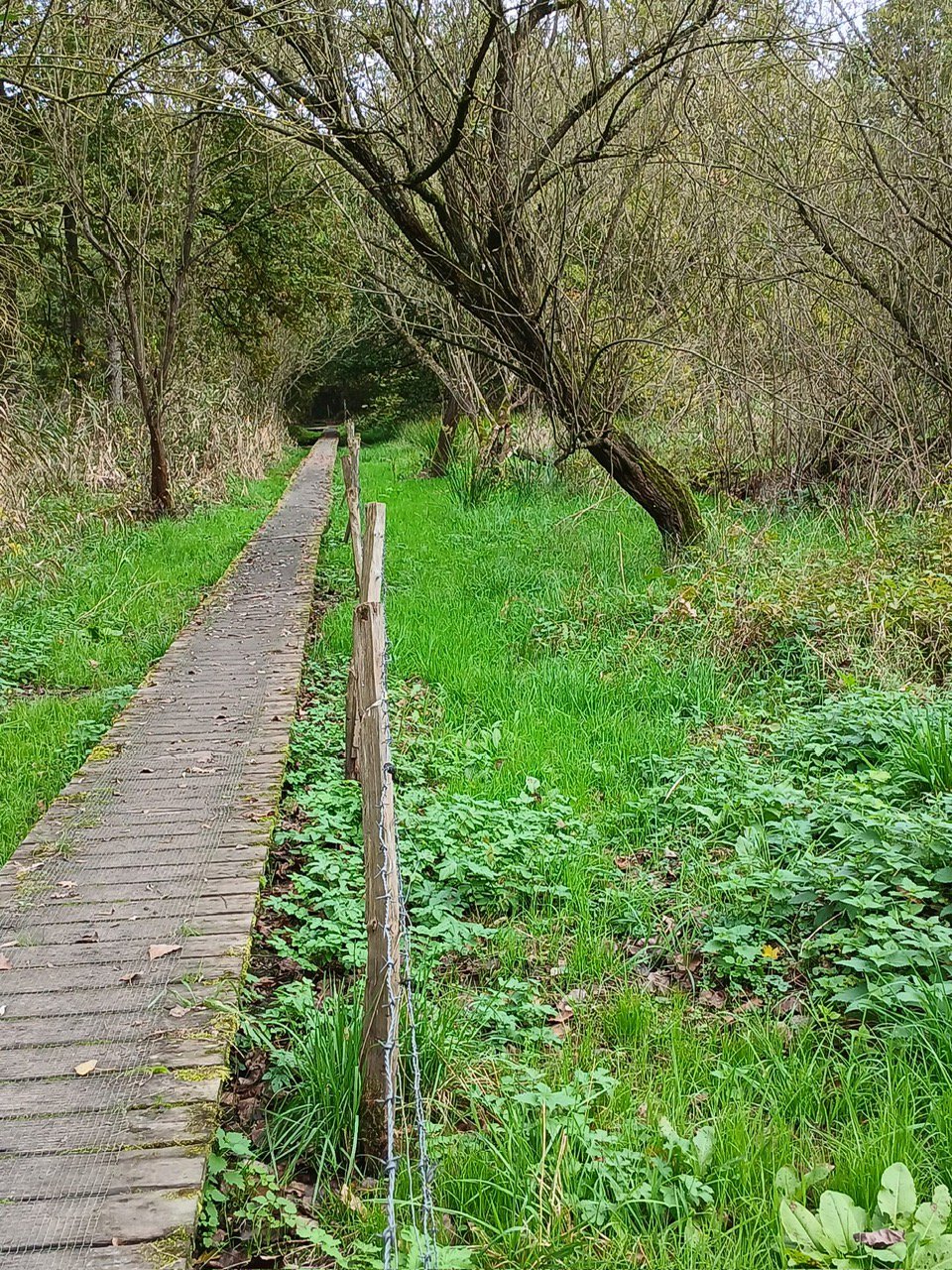
Make sure to wear appropriate clothing: in mosquito season, wear long clothing on arms and legs, and always high hiking boots or even high boots. Even then, you might need to retrace your steps between points 54 and 55. But even then, it is worth it.
Do you want to spot as many rare animals as possible? Then walk preferably alone, in silence, and perhaps even early in the morning, just after sunrise. Dogs on a leash are allowed, but not recommended.
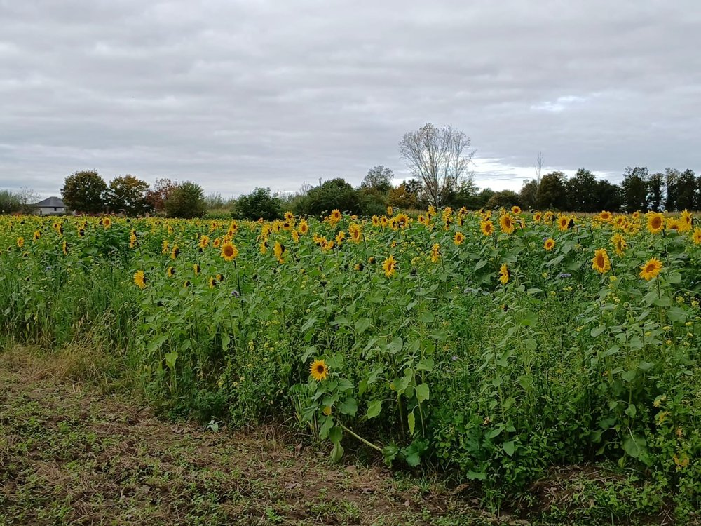
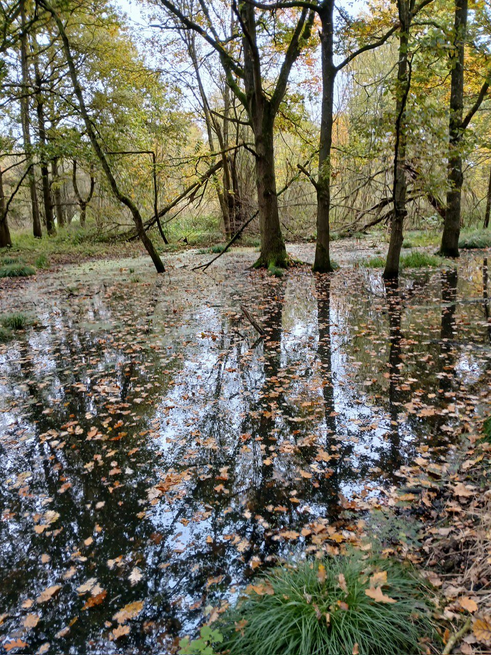
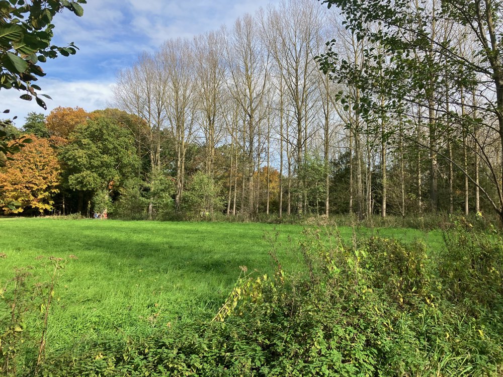
Through boardwalks, muddy forest paths, meadow and field roads, you explore this varied but certainly wet area. It's not called "Broek" for nothing. With some luck, you'll spot various amphibians, birds, deer, ... and even beaver activity. You pass a converted bunker that serves as a refuge for long-eared bats and recognize former trenches in the waterways and of course, the anti-tank ditch itself. Nature and history go hand in hand.
A drink at the endpoint will surely please you.
automatic translation


 Upgrade to Premium Plus
