 Hiking
 Login
Login More
More EN
EN Premium
Pelt: Nature Park Plateaux-Hageven
automatic translation
14.8 km • Pelt
2342 1 4/5

 Addresse starting point (approximate)
Tussenstraat 10, 3910 Neerpelt, BE
 signage
The route is fully signposted with nodes.
 Description
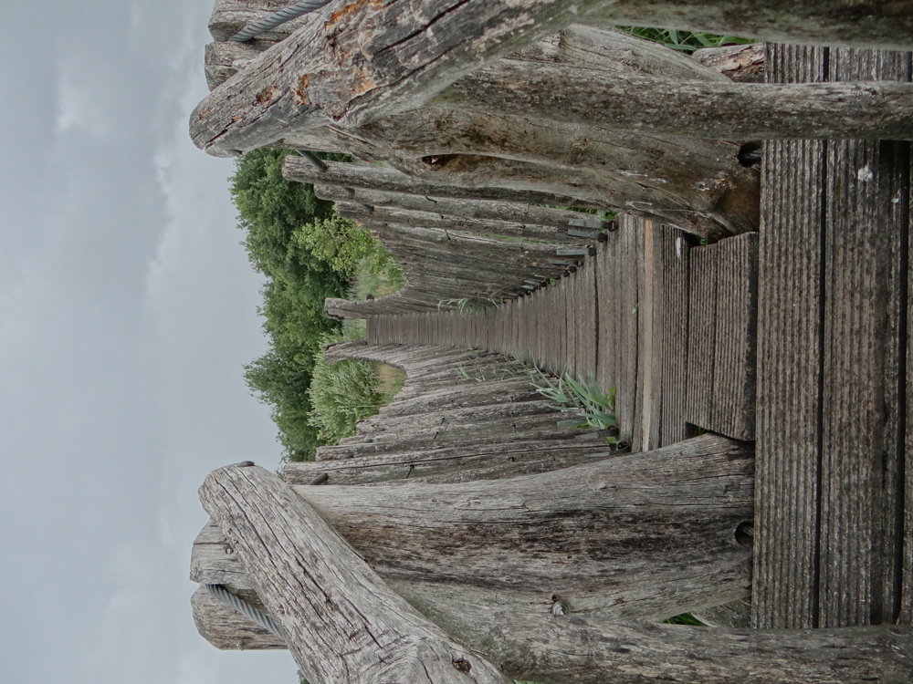
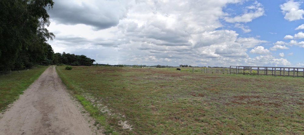
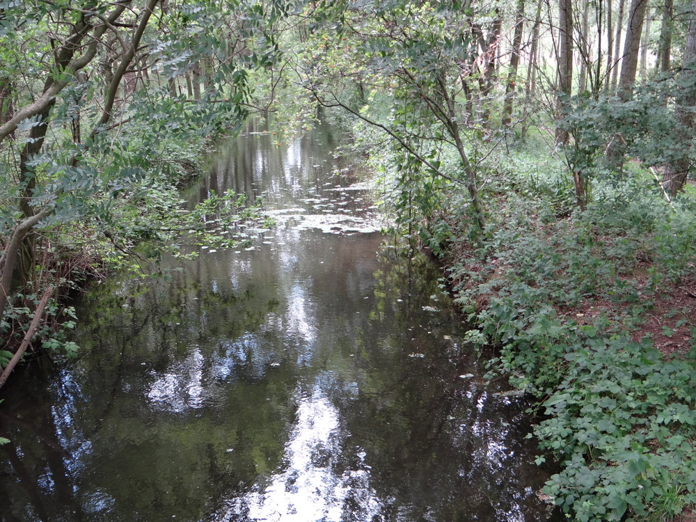
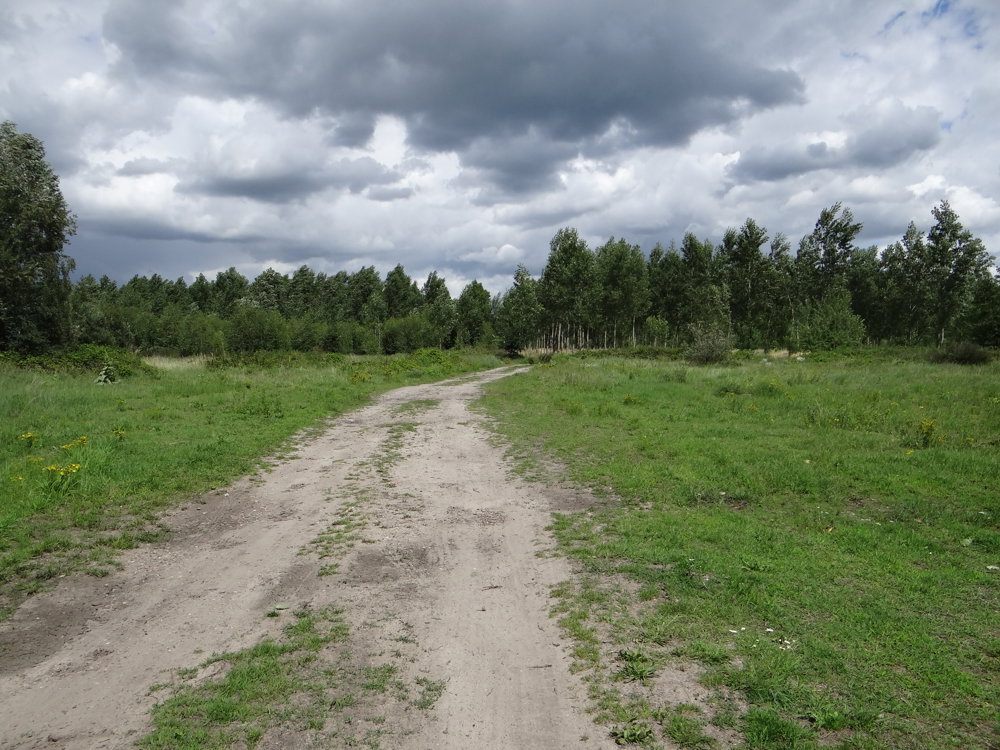
On the Belgian-Dutch border lies a beautiful piece of nature of almost 600 hectares.
Hikers can relax here in a wonderfully varied landscape that is enjoyable in every season.
Heather and forest, sand dunes and stream valleys, ponds and lakes alternate. Flanders and the Netherlands join forces for protection and management, and Europe also recognizes the importance of the unique nature reserve Hageven - De Plateaux.
In the series of Limburg's nature reserves, Hageven has a place of honor. It is an ideal nature reserve to enjoy the scenic diversity of North Limburg.
More photos: https://photos.app.goo.gl/JgqwS6UNJmLDt5CA6
Enjoy your walk,
Eddy, Rita, and Prinske
automatic translation
 nodes to follow
0 km
0.1 km
0.4 km
0.8 km
2.1 km
3.2 km
6.1 km
6.6 km
7.8 km
8.6 km
9.9 km
10.1 km
10.7 km
11 km
12.8 km
13 km
14.3 km
14.7 km
14.8 km


 Upgrade to Premium Plus
