Loading...

Drieslinter-Heide-Drieslinter

automatic translation

8.4 km • Linter

101 0 0/5

8.4 km 0.0 km 0.0 km

route offered by

Jan Theunis

Icon starting point Addresse starting point (approximate)

Stationsplein 11, 3350 Linter, BE

Icon type signage of route signage

The route is fully signposted with nodes.

5m 5m 5m 5m
Atmosphere image 1 of route Drieslinter-Heide-Drieslinter Atmosphere image 2 of route Drieslinter-Heide-Drieslinter Atmosphere image 3 of route Drieslinter-Heide-Drieslinter
© Jan Theunis

Icon description route Description

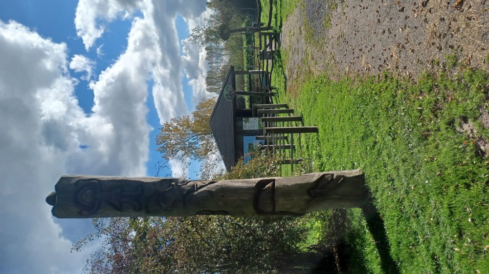
Parking: Stationsplein Drieslinter.

Signage: Junction points.

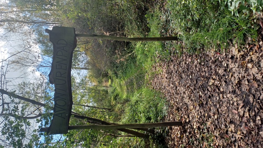
Up to junction point 10 it is a "greasy" section, be careful of slipping. We followed a bit further to junction point 138 and then continued on the bike path. It is doable on the slippery surface, but we chose to be cautious. The walk goes over paved roads and field paths.

Rest benches: among others after 0.5/1.3/2 (at the hut)/4.2 km.

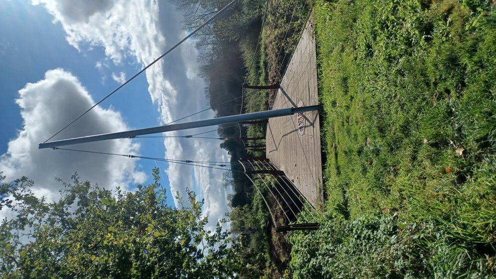
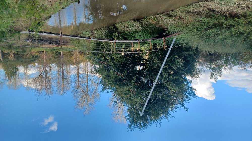
Attractions: "The Golden Geet bridge", nicely made over the Grote Gete (cool pun for the bridge).

Catering: at the starting point.

automatic translation

Icon nodes to follow nodes to follow

Icon start route
0 km
Icon deviation route
0.1 km
Image node 1
0.1 km
Image node 140
1 km
Image node 19
1.2 km
Image node 19
1.2 km
Image node 10
1.3 km
Icon deviation route
1.6 km
Icon deviation route
1.6 km
Icon deviation route
2 km
Image node 11
2.5 km
Image node 12
2.9 km
Image node 110
4.3 km
Image node 110
4.3 km
Image node 13
6.6 km
Image node 14
6.9 km
Image node 1
8.2 km
Image node 1
8.2 km
Icon stop route
8.4 km
This route does not have any reviews yet. Be the first!
Rate route!

Which POI do you want to show on the map?

Experimental hiking network
Unsigned icon

The route you have chosen runs (partly) along an experimental virtual hiking node network (the blue-coloured nodes and sections on the map).

You must be logged in to plan routes here.

Experimental hiking network
Unsigned icon

The route you have chosen runs (partly) along an experimental virtual hiking node network (the blue-coloured nodes and sections on the map).

These routes are not controlled in the field. Before you start hiking here, take a minute to read what an experimental hiking node network is and what rules you should follow when hiking here.