 Hiking
 Login
Login More
More EN
EN Premium
Brewing in the Brussels Periphery
automatic translation
11.9 km • Asse
 official route
1.3154 1 5/5

 Addresse starting point (approximate)
Oude Jetseweg 2, 1731 Asse, BE
 signage
The route is fully signposted with nodes.
 Description
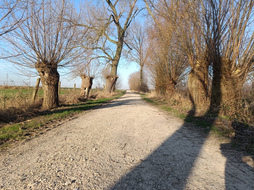
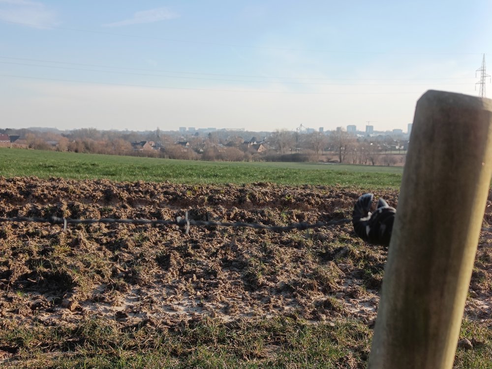
This walk was part of the Hiking Knot Searches edition 2024 and runs entirely through the Brussels periphery, starting in Relegem (Asse).
So don't be surprised if you suddenly spot - especially in clear weather - a gigantic, shiny iron molecule on the horizon.
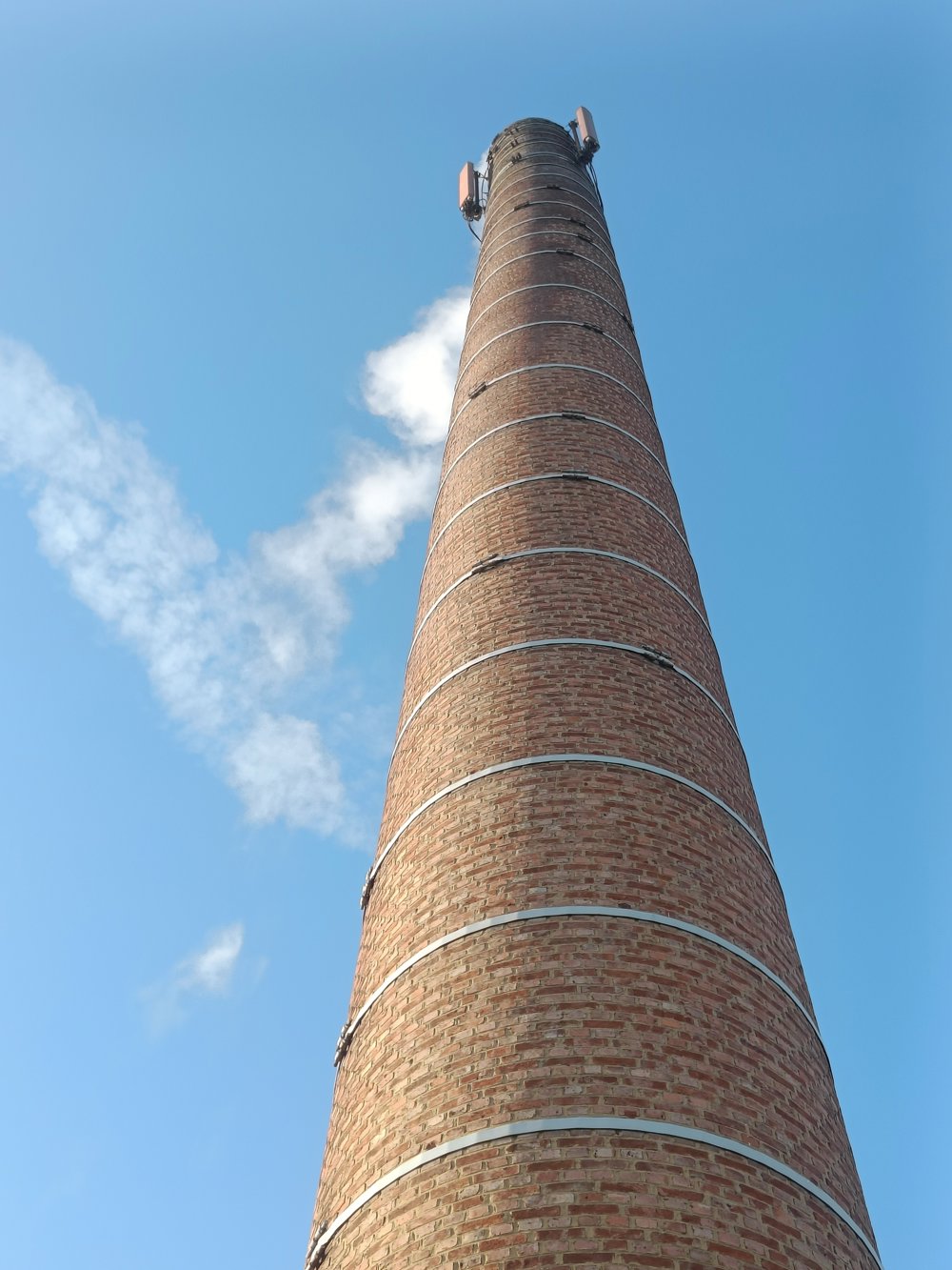
You will also walk through Kobbegem, home to the Mort Subite brewery. You really can't miss the chimney. Here you can also rest your legs with a drink, snack, or on a terrace (or all three).
🅿️ Parking at the Municipal Elementary School Relegem, near the church.
automatic translation
 nodes to follow
0 km
1.5 km
2 km
3.2 km
4.3 km
4.7 km
6.7 km
6.7 km
7.7 km
8.9 km
9 km
10.8 km
11.9 km
Thursday, October 10, 2024 by Yannick MertensHiking gem of Hiking Junction Quest edition 2024. Very nice, quiet route...while still being close to our capital city. During wet periods, the trail can get soggy, so keep this in mind and be sure to bring sturdy, waterproof footwear.
automatic translation


 Upgrade to Premium Plus
