 Hiking
 Login
Login More
More EN
EN Premium
Wolfsputtenwandeling (verkort)
4.7 km • 1700 Dilbeek
 official route
2781 0 0/5
route offered by
 Addresse starting point (approximate)
Kamerijklaan 46 (knooppunt 6)
 signage
The route is signposted with thematic signs (no nodes). You can use a GPS device or our app to follow the route through the virtual nodes.
 Description
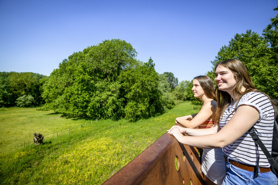
roeger the Wolfsputten were a sandstone quarry, now they are a nature reserve of 90 hectares and one of the most important in Flanders because of its size, variety of species, geological structure and rich history, with its own flora. The walk runs almost entirely through the Wolfsputten. You walk through grasslands and woods. In spring, wood hyacinths are scented in the oak and hornbeam forest. A little further on you step through the small Hermit Forest. Be sure to stop at the suspended viewing platform.
Along the way, you walk along plank paths with height differences and narrow paths. Therefore less suitable for baby carriages.
This hike is a shortened version of a longer 8.6 km hike.
This walk is offered to you by the municipality of Dilbeek and Toerisme Vlaams-Brabant.
automatic translation
 nodes to follow
0 km
1.6 km
2.2 km
2.8 km
3.7 km
4.7 km


 Upgrade to Premium Plus
