 Hiking
 Login
Login More
More EN
EN Premium
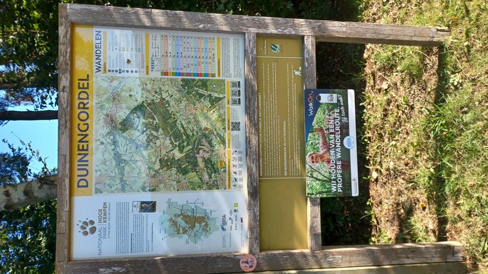
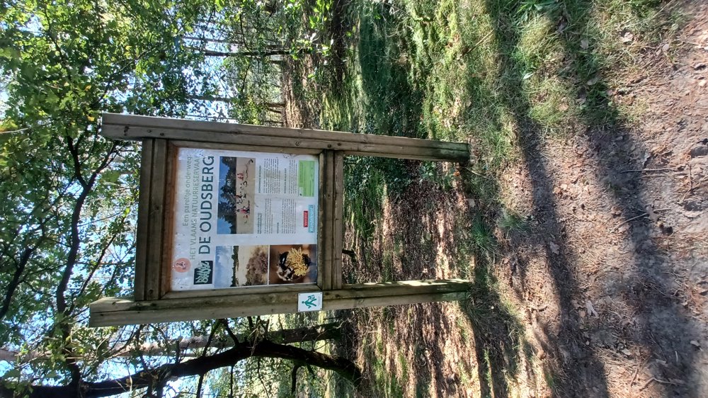
Flemish Nature Reserve Oudsberg
automatic translation
8.5 km • Oudsbergen
2511 0 0/5
8.5 km
0.0 km
0.0 km
10 km
© OpenStreetMap contributors, Tracestrack

 Addresse starting point (approximate)
Oude Kerkstraat 71, 3660 Opglabbeek, BE
 signage
The route is not signposted. Use a GPS device or our app to follow the route through the virtual nodes.
© Jan Theunis
 Description
Parking: Cemetery Opglabbeek, Oude Kerkstraat.
Signposting: Virtual junctions.
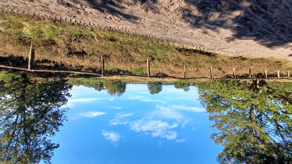
You primarily walk through forests in the Oudsberg nature reserve. A part goes over the loose sand of the 'Oudsberg'.
Beautiful and peaceful walk.
Rest benches: among others after 2.4 km / 5.7 km at the forest chapel and 8.3 km.
automatic translation
 nodes to follow
0 km
0.2 km
1.6 km
2.1 km
3.4 km
3.6 km
4.4 km
4.6 km
5 km
5.8 km
7 km
7.9 km
8.3 km
8.5 km


 Upgrade to Premium Plus
