 Hiking
 Login
Login More
More EN
EN Premium
Through the Miskom Fields
automatic translation
8.6 km • Kortenaken
920 0 0/5
8.6 km
0.0 km
0.0 km

 Addresse starting point (approximate)
Miskom-Dorp 2C, 3472 Kortenaken, BE
 signage
The route is not signposted. Use a GPS device or our app to follow the route through the virtual nodes.
© Jan Theunis
 Description
Parking: OCMW, Miskom-Dorp
Signage: Virtual junction points.
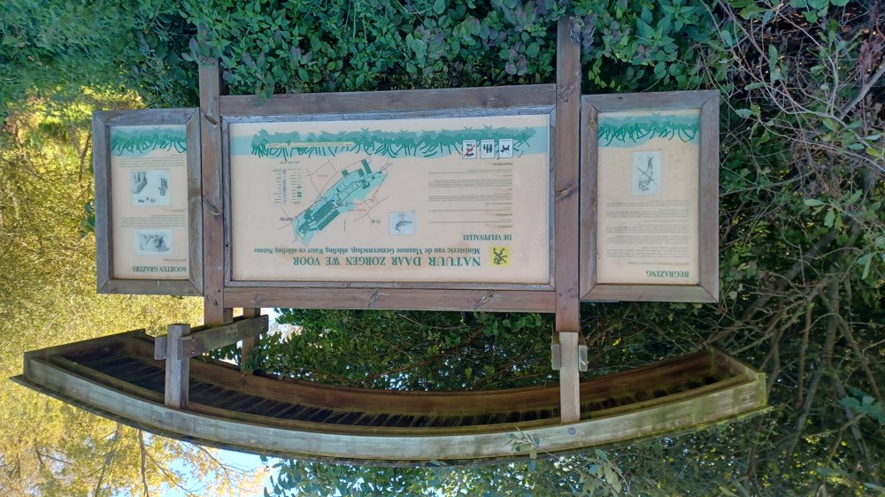
Varied walk through forest, meadows, orchards. Quiet walk, you do need to walk twice along a main road, but there are wide cycle paths. A part goes through the Velpe Valley. Well-passable paths.
Rest benches: 1 bench after 7.7 km.
automatic translation
 nodes to follow
0 km

0.1 km
0.6 km
2.2 km
2.6 km
3.4 km
4.3 km
6.2 km
6.3 km
6.5 km
8 km
8.1 km
8.5 km

8.6 km


 Upgrade to Premium Plus
